Kayak trip reveals placid beauty below Hoover Dam

The Lower Colorado River’s steep Black Canyon walls and flatwater flow were calling, and we accepted their kayaking challenge. Our late-April paddling adventure gave us front-row, uncomfortable seats along a more-than-11-mile route. We were wowed by dramatic volcanic geology, intrigued by Hoover Dam’s history and charmed by wildlife making homes along the river. By late afternoon, our families shared a combined sense of pride, pain and awe.
Our kayaking journey started with a phone call a month in advance to an outfitter licensed to shuttle paddlers close to the off-limits base of Hoover Dam. That’s the upstream start of the 30-mile Black Canyon National Water Trail, which is celebrating its fifth anniversary as part of a network of distinctive recreational waterways.
Launch date for our families was April 28, and miraculously, we left our Henderson homes with teenage sons in tow by 5:30 a.m. The sun was just beginning to light up the eastern horizon. Mockingbirds were singing as we packed the day’s supplies into our cars, but the party of six was too groggy to appreciate such lovely music. We merged onto the 215 Beltway en route to Boulder City.
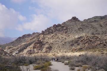
Our outfitter, Desert Adventures, required a 6 a.m. arrival in the parking lot of Hoover Dam Lodge (the old Gold Strike and Hacienda), which is past Boulder City on U.S. Highway 93. There we met our rental kayaks and the driver who would get us past a Hoover Dam security zone gate and onto Lower Portal Road, the updated version of a 1930s construction road that ends near the 660-foot-wide concrete base of Hoover Dam.
We got a safety talk for our self-guided tour before reaching our launch site. The Lower Colorado River is cold (53 degrees); life vests are a constant requirement (it’s hard to swim when you’re freezing cold and freaking out following an unexpected out-of-kayak experience); drink lots of water (carry a gallon per person); reapply sunscreen; and 911 is the only phone number that works on the river between Hoover Dam and Willow Beach. Also, the wind forecast — moderate with gusts up to 25 mph — threatened to make our adventure more “sporty.”
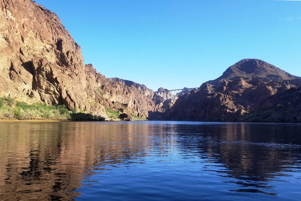
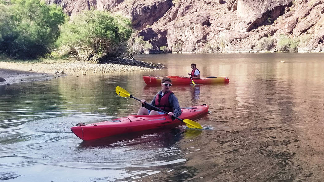
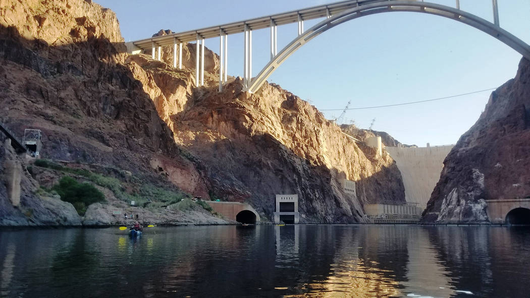
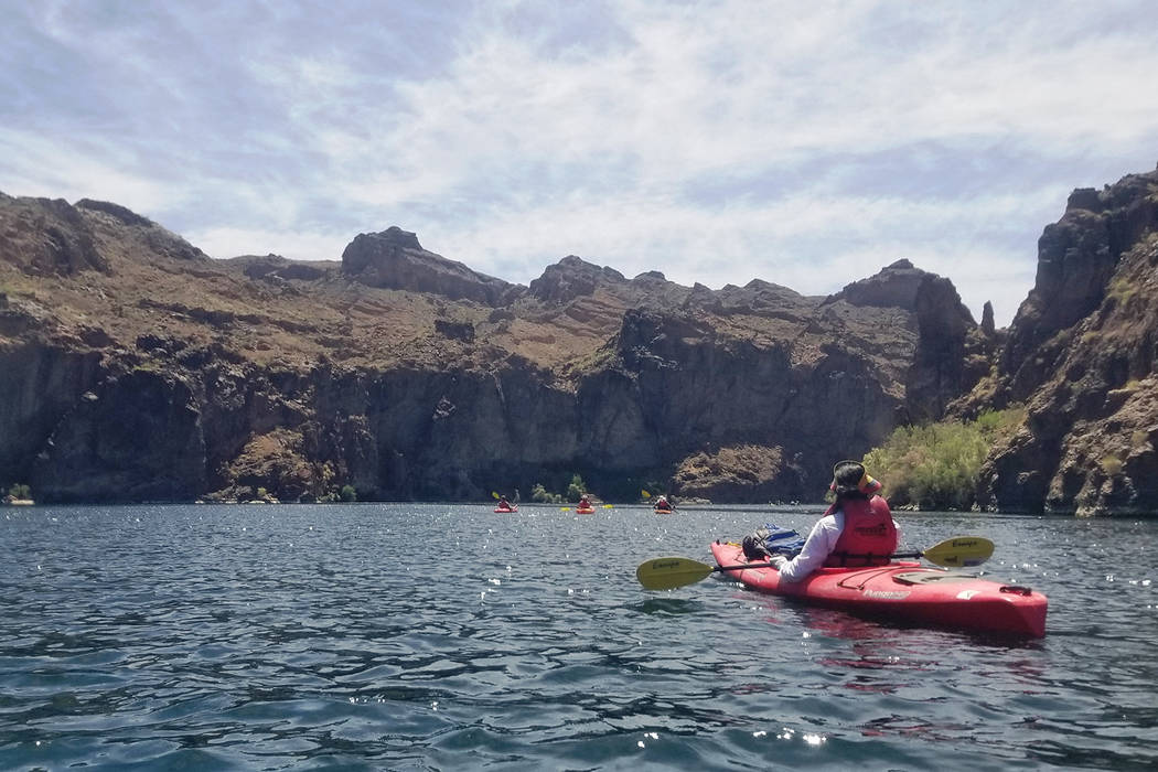
Those words added anxiety for the two moms, but water sometimes has a way of calming troubled minds. Once we were on the Colorado River around 7:15 a.m., all six of us in our single-person kayaks, we were distracted by beauty and excitement. We were in the morning shadow cast by Hoover Dam, one of the most iconic engineering feats in the world. We were 880 feet under the second-highest bridge in the U.S., the Mike O’Callaghan-Pat Tillman Memorial Bridge. Striped bass swam under our kayaks, and we could see cormorants nesting and resting in dam construction remnants from the 1930s. Plus the lunch we brought was safely stored in a dry bag, ready to be enjoyed on a beach in a few hours.
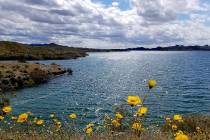
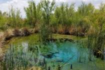
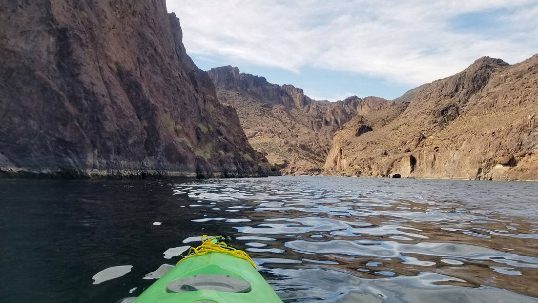
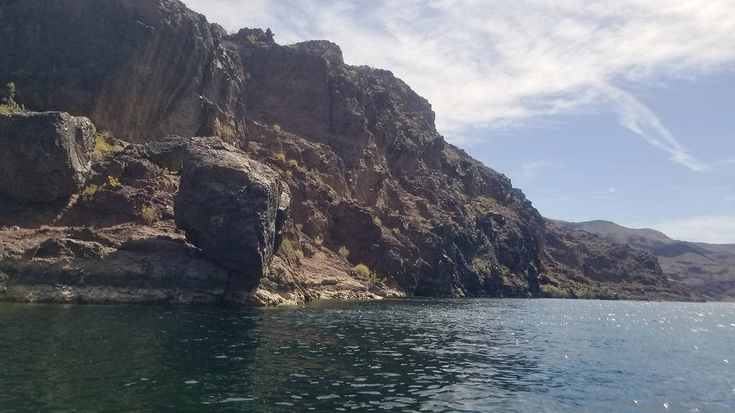
The river was wide and calm as we started out and tried to find our paddling strides. I turned around to catch final glimpses of the dam and bridge. We had a map of highlights along the route and almost immediately started noticing small waterfalls with hanging gardens. Some were marked with orange and other colorful algae, so we knew warm water was part of the mix and that soaking pools were probably nearby.
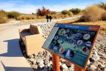
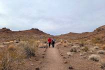
Maps from the National Park Service and Black Canyon outfitters show mile markers and highlights that include “The Ear,” a cave partway up a cliff that looks like a giant’s ear canal. The midsection of our journey included Arizona Hot Spring, where paddlers can join overland hikers to see a 20-foot warm waterfall and climb up a steel ladder to soak in shaded mineral pools. The only pit toilets for more than 11 miles are also found at this stop.
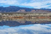
River right is the Nevada side of the Colorado, as you look downstream, and river left is the Arizona side. Large mile markers are on alternate banks and count down from 64 at Hoover Dam. Willow Beach, where most paddlers take out and catch the shuttle back to Boulder City, is at mile 52½.
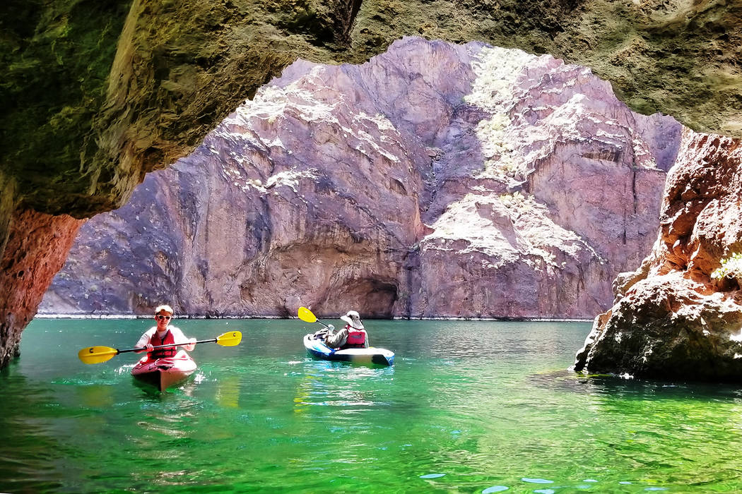
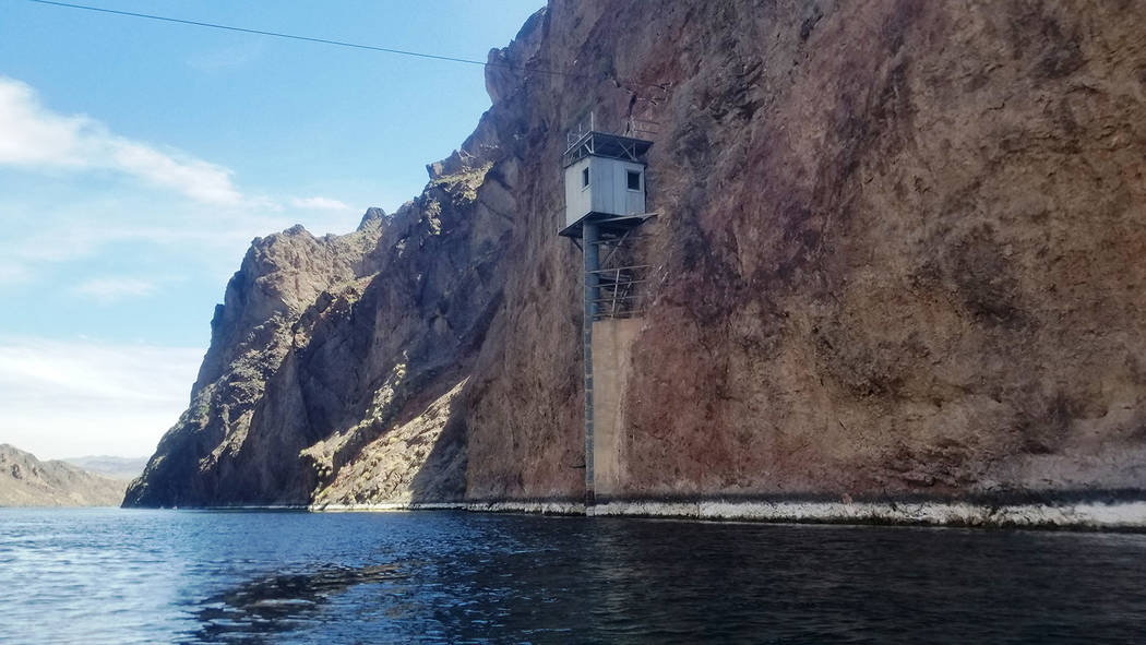
Closer to Willow Beach, the map shows the historic Gauging Station as well as the stunning and much-sought-after Emerald Cave. Both lived up to the hype. The Gauging Station is high above the river and appears to be clinging to the Nevada cliff. A cable car still hanging above the river once provided access from the Arizona side to experts monitoring water levels, flow rates and silt levels of the river as critical decisions were being made about Hoover Dam and the water that would go behind it.
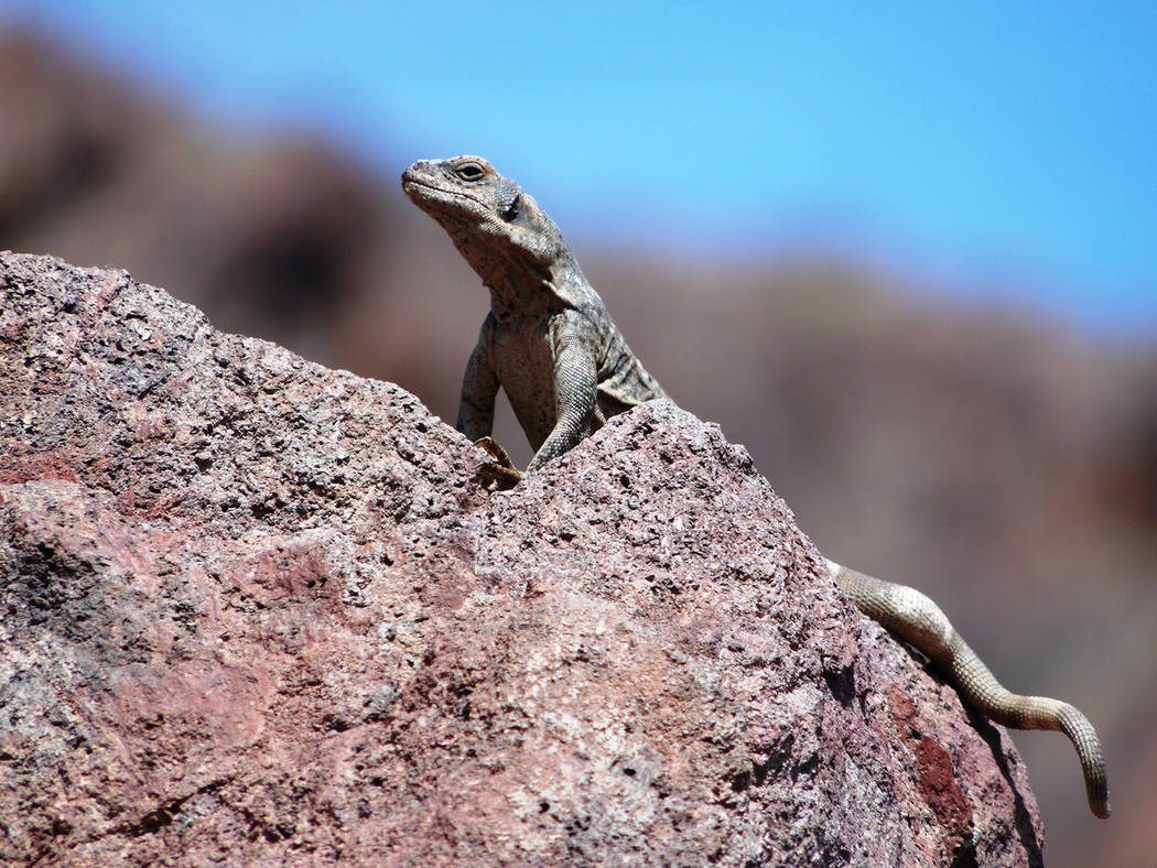
While our maps played an important role, we didn’t let them take over. The Colorado has too many caves, springs, beaches, coves and whimsical rock formations to corral onto a single map. You don’t want to miss a cave with nesting swallows that no one else seems to notice while looking high above for the map’s Dragon’s Back volcanic dike. You don’t want to miss a mother bighorn sheep teaching her lamb to drink from the Colorado River (the best photo that got away). If staring at a checklist, you may not notice the chuckwalla challenging you from its rock lair. A bald eagle may escape your view. The Colorado seems to invite paddlers to make their own adventure.
For us, the water-based part of our trip took more than seven hours, and we didn’t lollygag. It was a challenge on the lower back to keep seated while paddling for that long, and my forearms, shoulders and neck continued to feel the pain a couple of days later. My index fingers and thumbs were still sensitive, presumably from an incorrect paddle grip. In hindsight, we probably should have taken a kayaking 101 class or rented kayaks at Willow Beach or Lake Las Vegas for a couple of hours before signing up for an 11-plus-mile paddle.
But while the power-producing Colorado River pulled plenty of energy from our party, it also supplied us with inspiration and memories to last a lifetime.
Natalie Burt, a former news reporter at the Review-Journal for 11 years, spends as much of her free time as possible enjoying Southern Nevada’s outdoors. She’s now a teacher and has lived in Henderson for 18 years. Email: nvburt@gmail.com.
More information
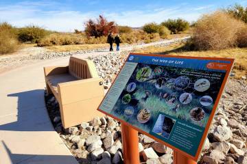
The following National Park Service links provide additional information about the Black Canyon Water Trail and the park service's approved outfitting vendors. Desert Adventures charged each of us about $90 for our kayak rentals, lifejackets, National Park Service access permits and shuttle services.
nps.gov/lake/planyourvisit/black-canyon-water-trail.htm
nps.gov/lake/planyourvisit/canoekayak.htm