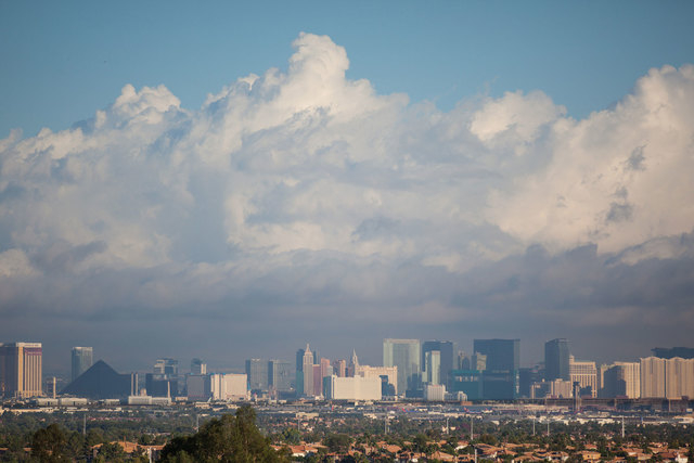
Another wave of storms possibly on the way

As Clark County roads are repaired from flooding brought by Hurricane Norbert, a second wave of storms may hit this week from Hurricane Odile, according to the National Weather Service.
The Las Vegas Valley is currently experiencing the calm before the storm, but the weather service announced Saturday that the area could see more moisture in the coming days.
Hurricane Odile, which originated in the Pacific Ocean near southern Mexico, is expected to move northwest, gaining strength as it makes its way toward land.
So far, Hurricane Odile has progressed similarly in strength to Norbert, weather service meteorologist Chris Outler said. Since the rainfall from Odile won’t hit the Las Vegas area until midweek, it was still too early over the weekend to pinpoint exactly which parts of the valley will be hit.
This week marks the 40-year anniversary of what the weather service calls the deadliest flash flood ever in Nevada. On Sept. 14, 1974, a wall of water crashed over Nelson’s Landing, about 50 miles southeast of Las Vegas.
Nine people died from the storm, the weather service reported, and 25 boats, 50 vehicles and a restaurant were swept away.
The weather service projected that Hurricane Odile’s precipitation will reach Clark, Lincoln, Mohave and eastern San Bernardino counties Tuesday night. The most intense day of storms is forecast to be Thursday, but even that is hard to track ahead of time.
The week will start with triple-digit temperatures forecast through Tuesday. Then temperatures will fall into the mid-90s on Wednesday as skies begin clouding up for the first round of storms.
The weather service predicts a 60 percent chance of thunderstorms Wednesday night, which likely won’t let up until Thursday evening.
Despite the rain, temperatures will remain warm Thursday with high of 90 degrees. The weather service warns of possible heavy rain and flash flooding. If the storms move over the Spring Mountains, debris flow caused by last summer’s Carpenter 1 wildfire may be an issue as well.
But this far out, the specific areas the storms may hit continue to be a blind factor, especially for Moapa Valley.
The weather service said in a Hurricane Odile Q&A session Sunday that “preparedness is key” in regards to possible flash flooding and heavy rain in Las Vegas and Moapa.
Over the weekend, residents and roads were still recovering from damaging storms last week. Roads were washed out, residents were displaced and students were trapped during floods that eventually caused Gov. Brian Sandoval to declare a state of emergency.
The Nevada Department of Transportation continues to make progress on Interstate 15 between Moapa and Glendale, one of the hardest hit areas by the flood. The I-15 reopened Friday, allowing traffic to flow through one travel lane in each direction.
Precautions will be taken and alerts will be issued as the weather worsens, according to Nevada Highway Patrol trooper Loy Hixson. An artificial riverbank could be constructed along the highway to redirect the water flow to the natural riverbanks nearby.
Hixson said if all goes well, completion for southbound I-15 will be completed within two weeks.
“Crews are carefully monitoring the weather forecast and will continue to do so,” said Meg Ragonese, a spokeswoman for the transportation department.
Road repairs were expected to continue but the construction schedule is dependent on the amount of rain.
“Our priority is the safety and mobility of travelers,” Ragonese said.
For weather updates as the storms progress, visit www.weather.gov.
Reporters Annalise Little, Ricardo Torres and Kimber Laux contributed to this report.
Contact reporter Cassandra Taloma at ctaloma@reviewjournal.com or 702-383-0381.