Las Vegas stadium district transportation study underway
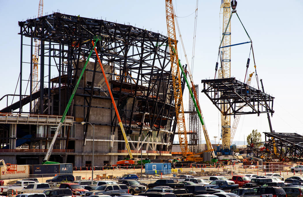


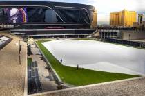
With the area surrounding the under-construction Las Vegas stadium slated to change once it opens in 2020, regional planners are looking at how transportation in the area will change along with it.
Members of various local entities comprised of the Regional Transportation Commission of Southern Nevada, the Nevada Department of Transportation, Clark County and others will make up a committee aimed at finding the best transportation plan for a 6.6-square-mile area surrounding the stadium.
The boundaries run between Las Vegas and Decatur boulevards to the east and west and the 215 Beltway and Flamingo Road to the south and north.
RTC is working with Clark County to commission the transportation study, being carried out by engineering consultants Atkins, Kimley Horn and Associates, The JA Barrett Company and Erika Aviles Consulting.
The committee that will deal with the study’s findings is still being assembled, with the first meeting of the Stadium District Transportation Committee slated to occur within the next few weeks.
The study will include identifying the street typology, a circulation and parking plan in the area, policies that might be needed to bring the plan to life and a wayfinding system, which would assist people in navigating the area.
“The transportation plan seeks to do several things,” said Rush Wickes, RTC senior transportation planner. “It seeks to create multimodal travel choices. It’s going to be a regionally significant help in this area, as there are only about 2,400 on site parking spaces at the site (stadium).”
Despite that, Craig Raborn, RTC director of metropolitan planning, said, “This is not a stadium project. It’s not intended to talk about how transportation should work to get to and from the stadium. It’s about the idea of a district that the county would like to see develop around the stadium and provide a transportation element to that.”
Rafi Architecture and Design is coordinating a land use study commissioned by the county for a smaller segment of area, a 1.23-square-mile zone bordered by Tropicana Avenue to the north, Interstate 15 to the east and railroad right-of-ways to the south and west.
“The purpose of that is to assist with the transition of the area surrounding the stadium, which currently consists primarily of warehouse and industrial development, into an entertainment and transit oriented district,” Wickes said.
The transportation and land use plans will be incorporated in the district areas before, during or after the stadium opens, Wickes said.
Wickes said the goal of the transportation plan is to create a pedestrian-friendly, walkable environment with multiple transportation options in a dense urban setting.
Enhancing the transportation options to the stadium area also could lead to improved air quality, Wickes said.
“This will not only include personal vehicles, but also mass transit, ride-sharing, connections to the Las Vegas Monorail, bicycling and walking,” he said.
The goal of both studies is to lead to promoting a strong economy in the surrounding area.
“A stadium district where people can live, work and play,” Wickes said. “It will help diversity the economy and improve the economic potential for the area.”
Contact Mick Akers at makers@reviewjournal.com or 702-387-2920. Follow @mickakers on Twitter.