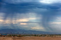
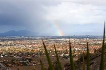
4th night of Las Vegas storms appears unlikely


Another night of storm activity appears unlikely for the Las Vegas Valley on Saturday.
Small storm cells formed over Lincoln County and near St. George, Utah, late Saturday afternoon, but did not appear threatening to the Las Vegas area.
“We’re not anticipating anything moving into the valley tonight,” National Weather Service meteorologist Matt Woods said. “Things are pretty calm. We didn’t see much of anything even up on the mountain today.”
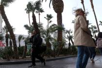
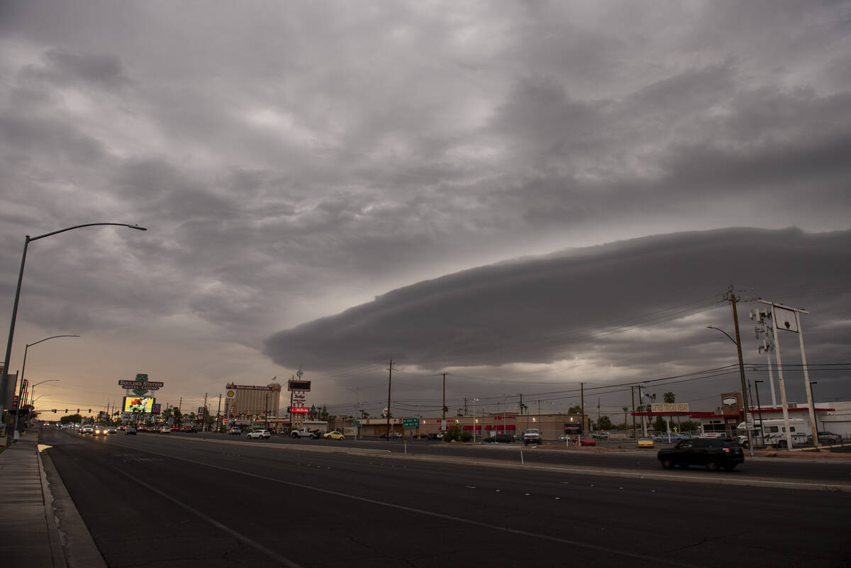
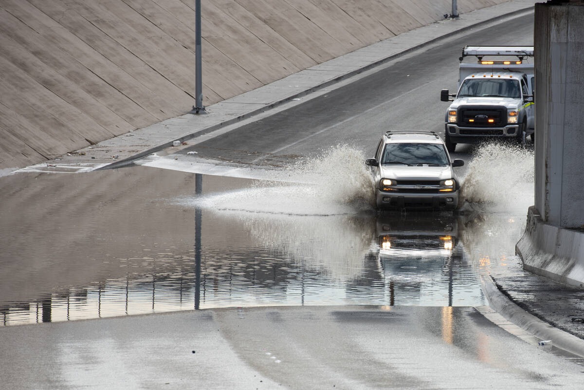
A Friday storm that was primarily a wind event, knocked out power to more than 16,000 NV Energy customers.
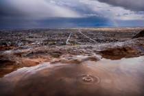
Pahrump and Boulder City received thunderstorm action, the Nye County seat hit with rain early Friday evening while Boulder City got the tail end of the storm after 9 p.m.
The biggest single spot for rain was the Winchester area with .75 of an inch. Winds of 54 mph were registered at Nellis Air Force Base.
The latest National Weather Service forecast calls for a 30 percent chance of scattered showers in the Las Vegas area before 8 p.m.
The Sunday risk of precipitation is pegged at 50 percent. A high near 97 is forecast.
The Sunday rain or storm activity would likely be in highber terrain, Woods said.
Contact Marvin Clemons at mclemons@reviewjournal.com. Follow @Marv_in_Vegas on Twitter.