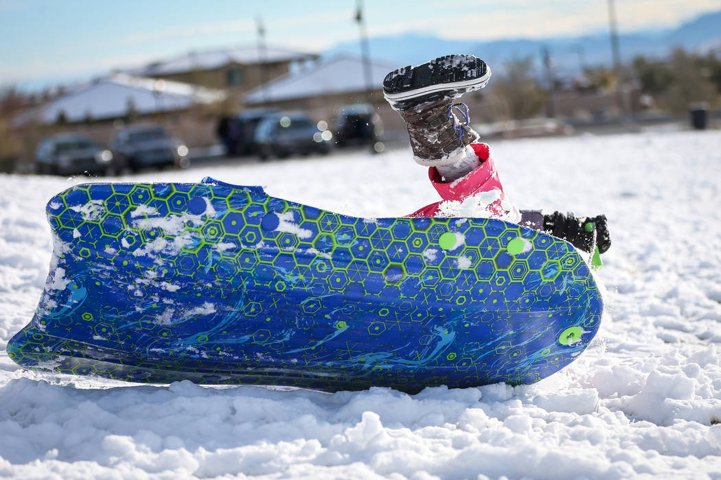
5 days of precipitation in Las Vegas close to record — VIDEOS


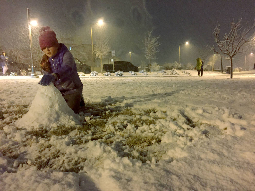


If you didn’t get enough snow Sunday night, you may be in luck.
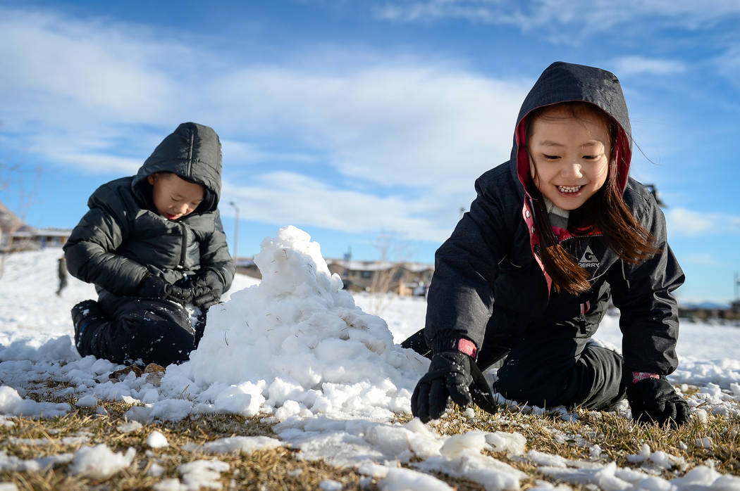
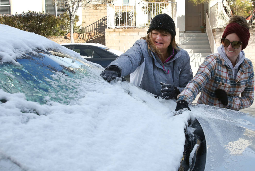
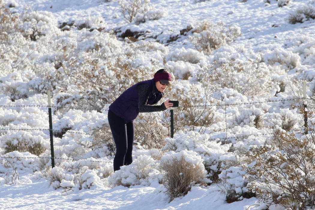
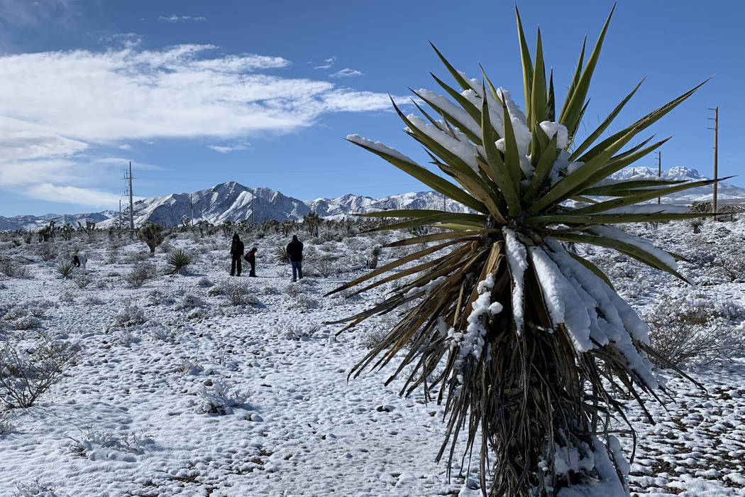
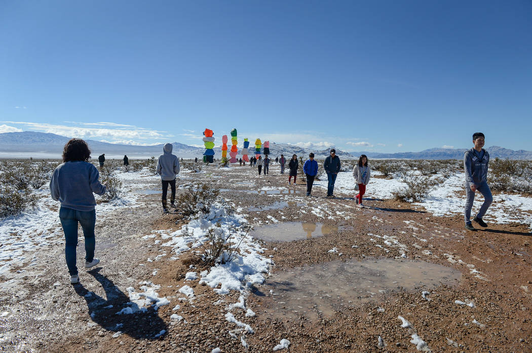
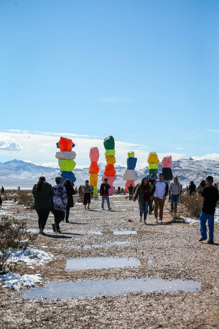
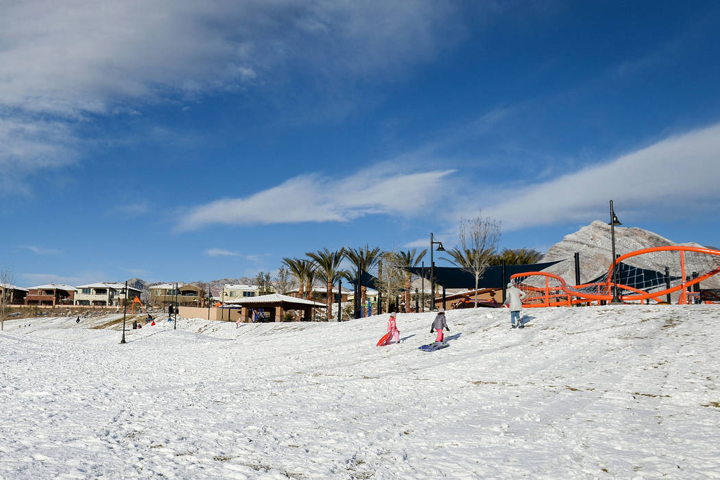
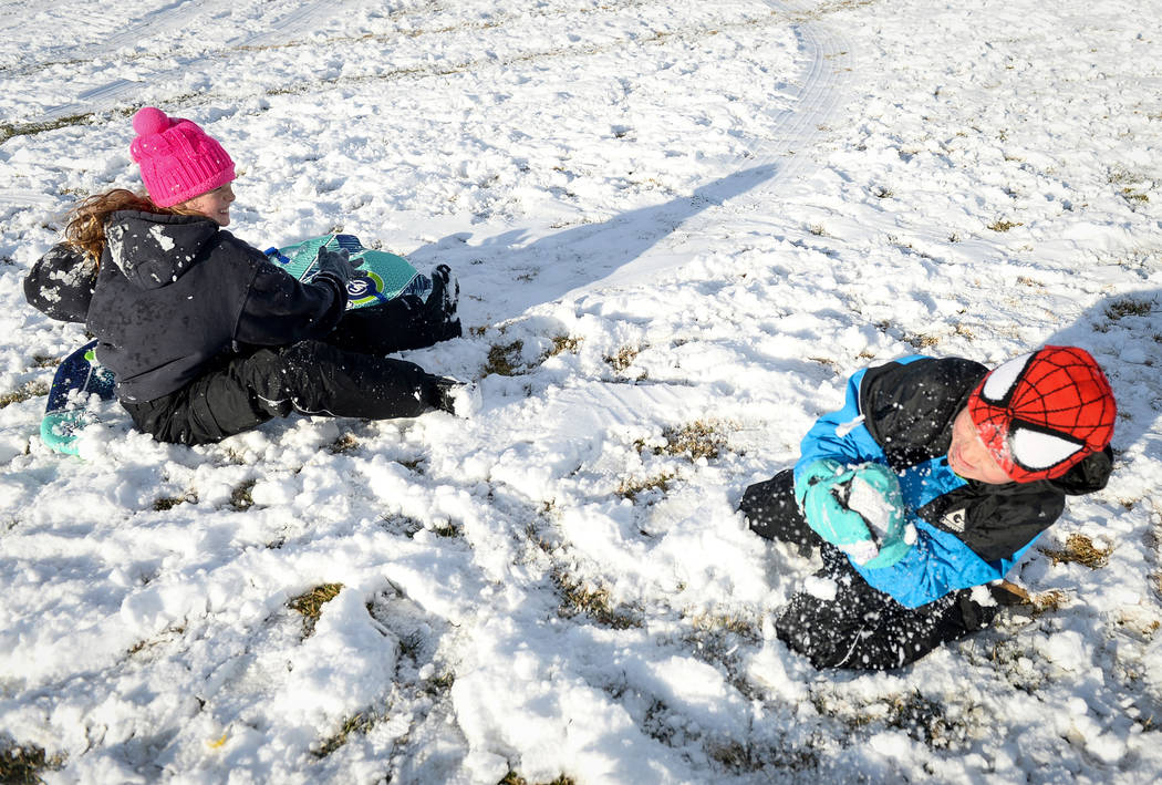
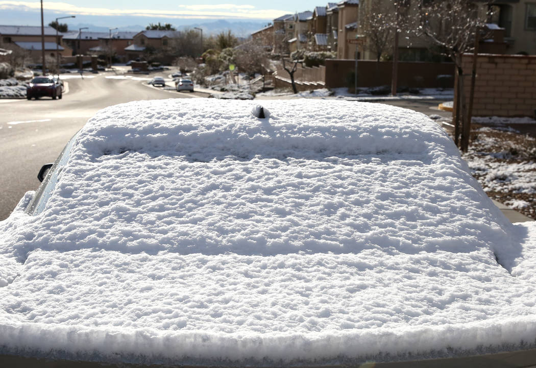
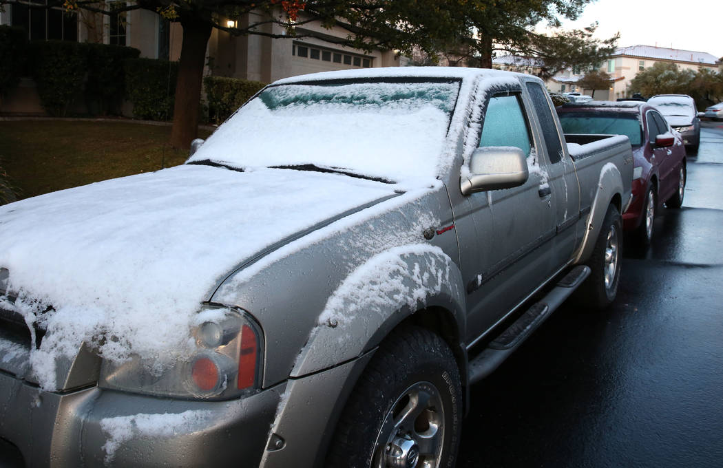
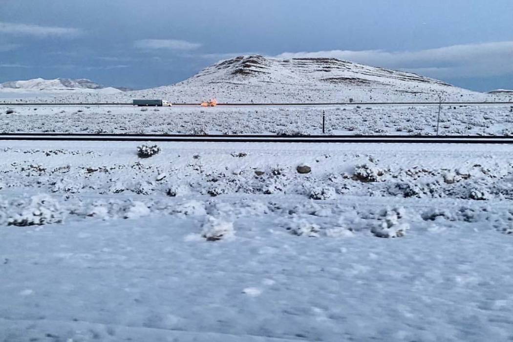
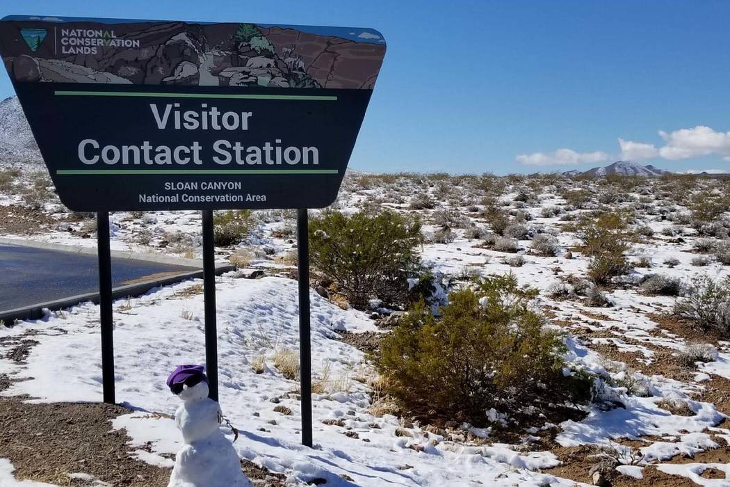
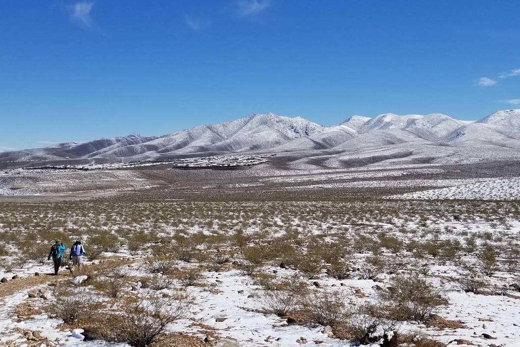
Another weather system with the potential for snow should come to the Las Vegas Valley this week after a rare bit of snow fell throughout the valley overnight Sunday into Monday, causing travel delays and slick roads.
The system, which could bring snow as early as Wednesday night and into Thursday, appears to be similar to the one from earlier in the week, National Weather Service meteorologist Alex Boothe said.
“We might get a double whammy,” Boothe said.
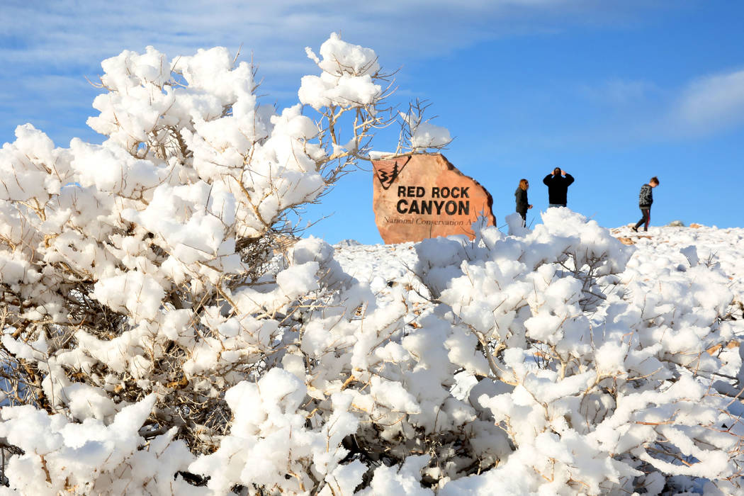
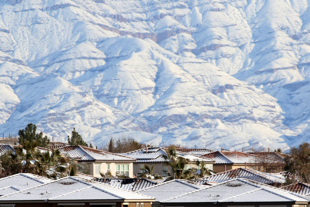
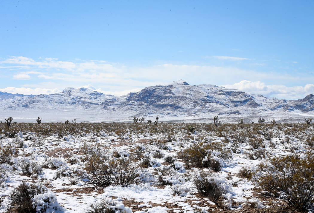
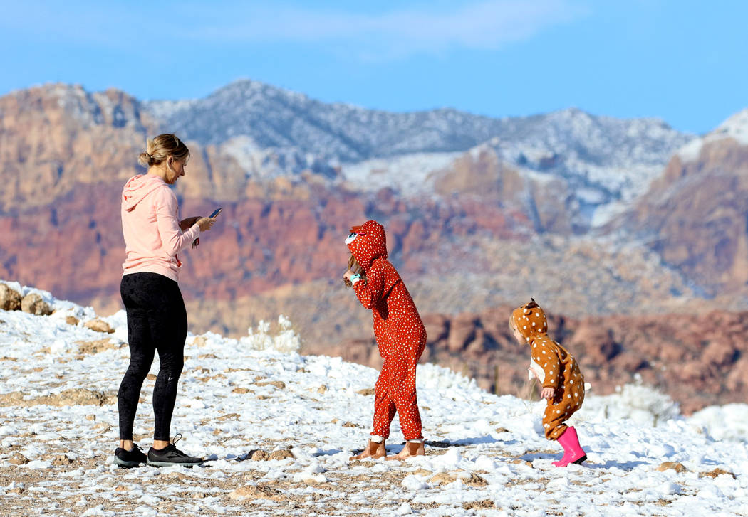
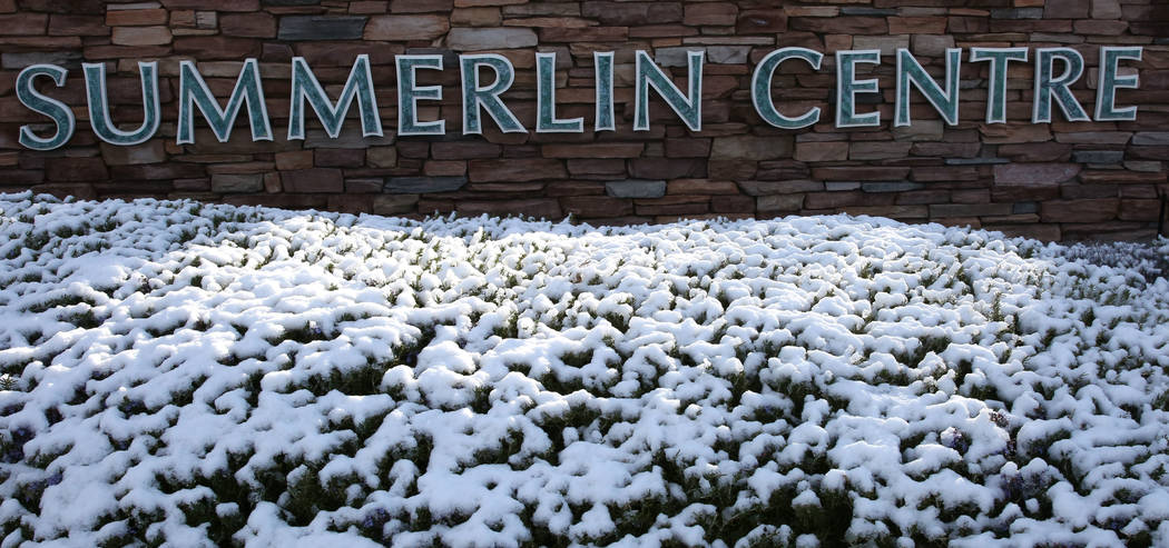
Most of the snow that began falling Sunday accumulated in the southern and western parts of the valley, with up to 2 inches in areas of Mountain’s Edge, Southern Highlands and along the 215 Beltway near Charleston Boulevard, the weather service said.
Parts of Henderson, the northeast valley, Boulder City and Centennial Hills saw less than an inch of snow, while most of the central valley, including the Strip, McCarran International Airport and downtown saw a trace of the white stuff, the weather service said.
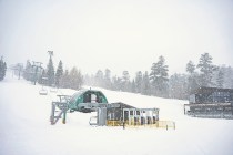
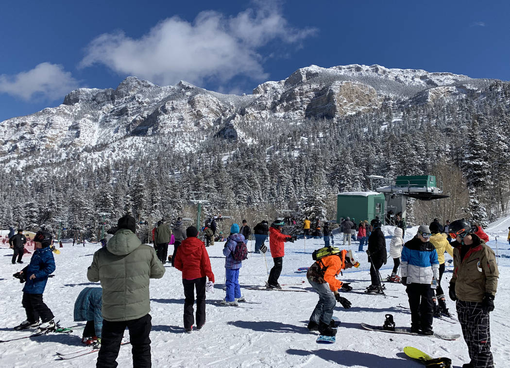
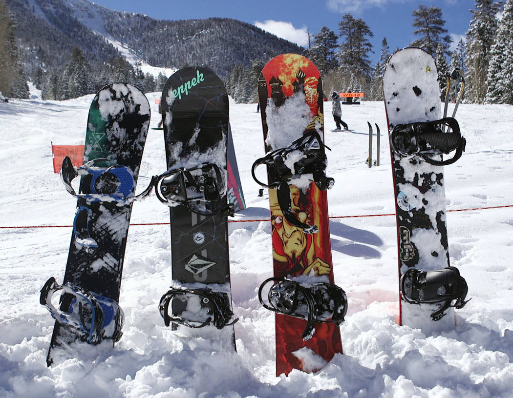
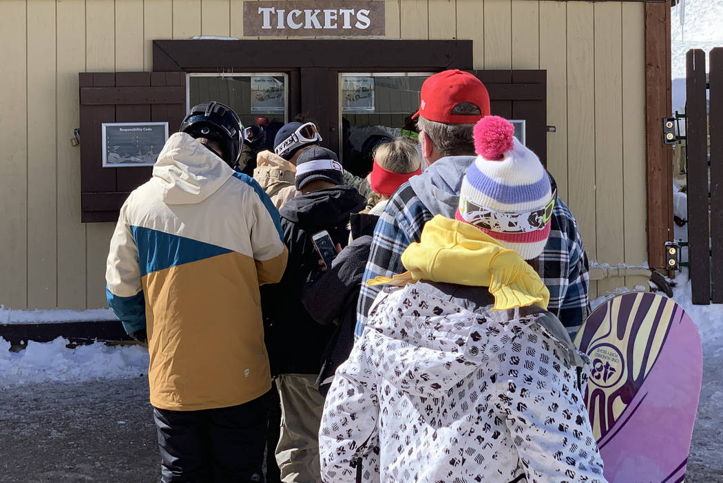
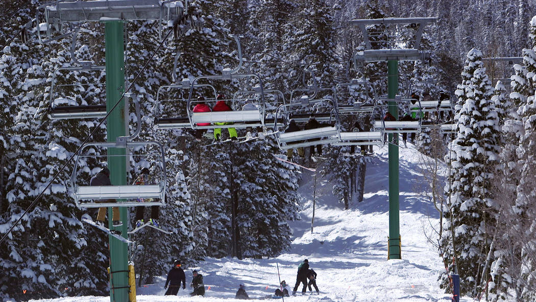
Mount Charleston received 3.1 inches of snow on Saturday and 3.9 inches on Sunday, the weather service said.
Wet weather should make its way back to the valley on Wednesday after what’s expected to be a dry Tuesday.
Another cold system could move into the valley Wednesday night, with a 50 percent chance of rain that could turn into snow showers, the weather service said.
The bulk of the snow is expected to fall on Thursday, Boothe said, with a 60 percent percent chance of precipitation during the day.
The last measurable snow recorded at the airport, where the weather service takes official measurements, came in December 2008 when 3.6 inches fell.
Monday was the fifth straight day with measurable precipitation, a streak tied for second when tracking consecutive days with precipitation. It marked the most since September 2013 when the valley also had a five-day stretch, but the current streak is expected to end Tuesday, the weather service said.
“We’ll fall short,” Boothe said.
The record for most consecutive days is six, reached in 1943 and 2003.
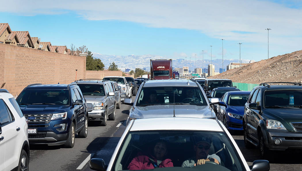
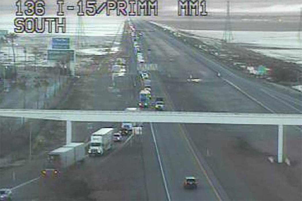
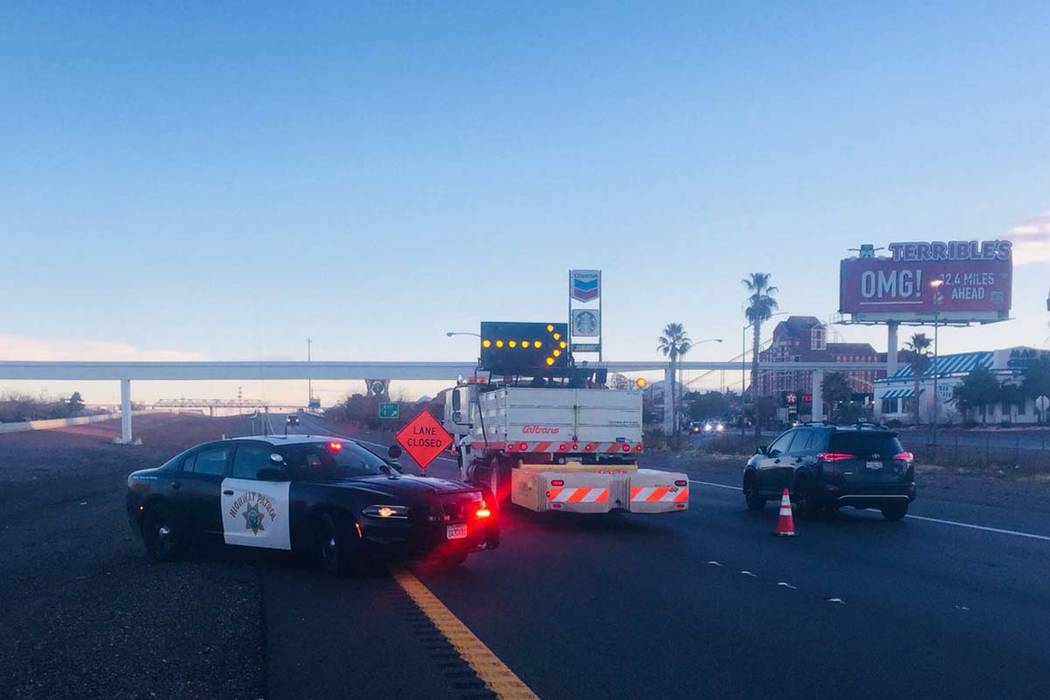
The precipitation temporarily affected travel between Las Vegas and Southern California.
Interstate 15 reopened Monday morning in both directions after being closed for icy road conditions between St. Rose Parkway in south Las Vegas and the California state line, according to the Nevada Highway Patrol.
Below average temperatures are likely through the rest of the week.
Tuesday’s high is expected to be 48 degrees, with Wednesday checking in with a high of 50, Boothe said.
Along with wet, snowy conditions, the weather service said Thursday’s high will dip to 44. Friday’s expect high is 46, with Saturday climbing to 49, Boothe said.
There’s a 30 percent chance for precipitation in the morning on Friday, depending on how quickly the system moves out of the valley, Boothe said. Dry, sunny conditions are in store for Saturday.
Normal highs at this time of year are about 63.
Contact Mike Shoro at mshoro@reviewjournal.com or 702-387-5290. Follow @mike_shoro on Twitter. Lukas Eggen can be reached at leggen@reviewjournal.com. Follow @LukasEggen on Twitter.