Heat, wind will blast Las Vegas before mild weekend


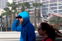
A high pressure system will hang on for a bit longer, bringing some excessive heat to the Las Vegas Valley Thursday into Friday.
Thursday’s high should reach 107 with winds gusting to 26 mph, says the latest National Weather Service forecast.
Friday will “cool” to around 103, but winds might reach close to 40 mph.
“A trough from the Pacific will push through the Great Basin,” said meteorologist Morgan Stessman. “That will bring some cooler air by the weekend before it gets warm again next week.”
Patchy, blowing dust is expected after 1 p.m. Friday. Winds early in the day are expected to be light, but will steadily increase as the trough pushes the high pressure to the east.
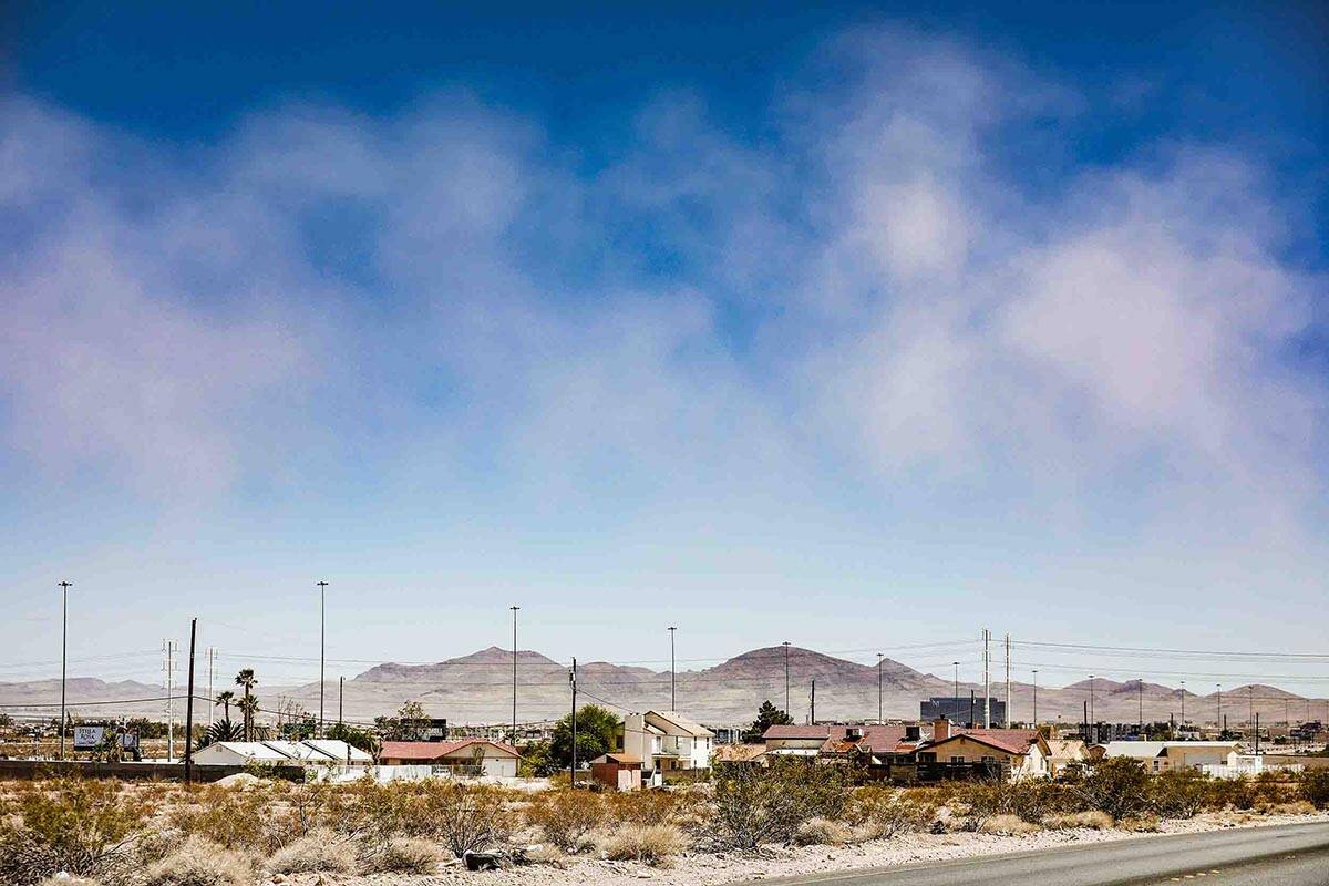
Saturday will see a high around 97 with a 91 expected for the Sunday high. Monday will also stay below triple digits, says the weather service.
The normal high this time of year in Las Vegas is 100.
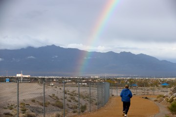
Today's Monsoon Awareness Week topic highlights the dangers you can encounter (& how to avoid them) while hiking or camping this summer.
⚠🌡🌬⚡🏜
Having fun outside? Be prepared for flash flooding, heat, or thunderstorms, & do your part to prevent wildfires!#Monsoon2k22 pic.twitter.com/rXQDj0ZD59— NWS Las Vegas (@NWSVegas) June 15, 2022
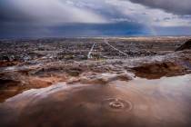
Harry Reid International Airport received its last measurable rain March 28. The total rainfall this year is 0.16 of an inch while the norm through June 15 is 2.06 inches.
Fire weather watch
Forecast sustained winds of 20 to 30 mph with gusts to 50 mph have prompted the weather service to say a fire weather watch for Southern Nevada and northwest Arizona runs from 11 a.m. Friday through 11 p.m. Saturday. A red flag warning could follow.
The strong winds combined with humidity levels of 5 to 12 percent and dry conditions will mean any fire that develops could spread rapidly.
Lake Mead down 6’ in month
The water level at Lake Mead was 1,045.15 feet (above sea level) as of 5 p.m. Wednesday, a decline of exactly 6 feet in the past month. A year ago the lake was at 1,070.91 feet, more than 25 feet deeper than now.
Contact Marvin Clemons at mclemons@reviewjournal.com or 702-863-4285. Follow @Marv_in_Vegas on Twitter.