More records fall in Las Vegas but extreme heat nears an end
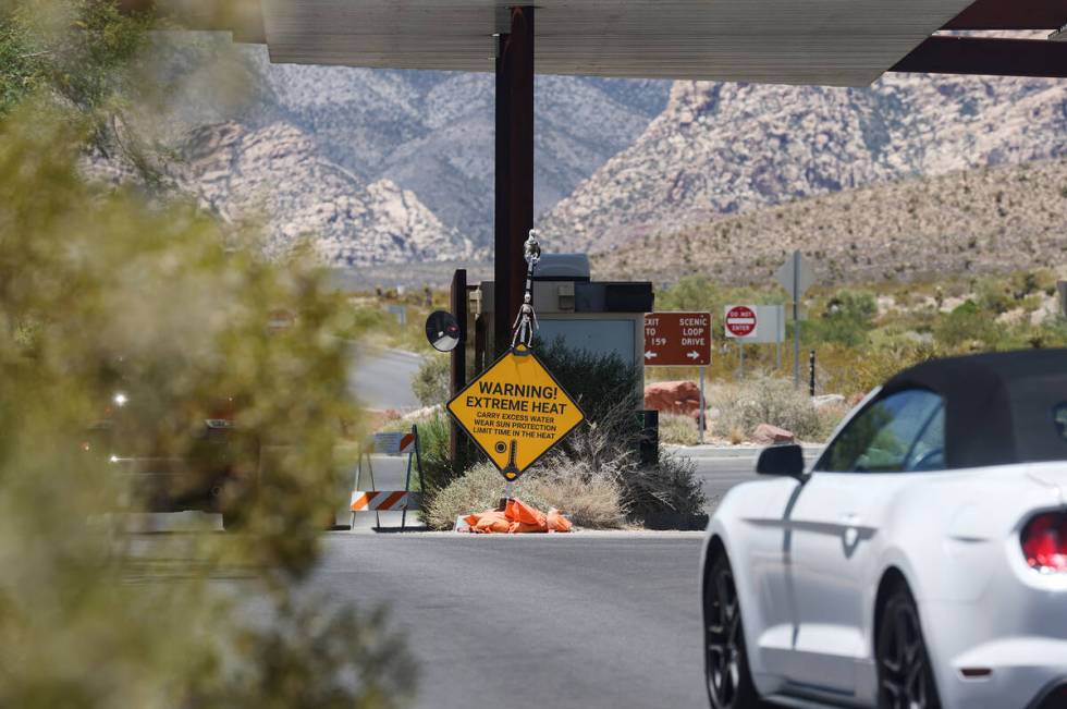
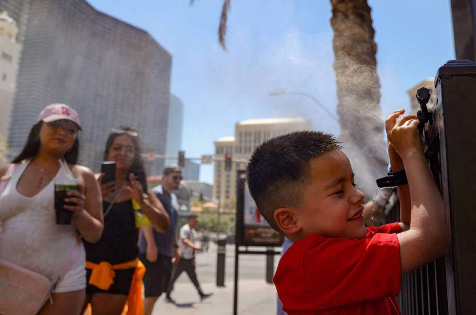
Excessive heat continued its record-shattering grip on Southern Nevada on Friday, though some relief is expected this weekend.
The National Weather Service’s official weather station at Harry Reid International Airport showed an afternoon high of 115 degrees shortly before 3 p.m., making Friday the seventh straight day with a high of 115 or higher.
It was also the seventh straight day with a new daily high temperature record. The streak started Saturday with a reading of 115 before setting a new all-time record of 120 on Sunday, followed by 115, 119, 118, 118 and 115.
Four of those seven days surpassed what had been the long-standing Las Vegas record high of 117, underscoring just how historic this extreme heat wave has been.
Temperatures reached 111 degrees at 12:25 p.m. Friday, making it the 10th consecutive day with a high of 110 or more, tying just two other 10-day stretches of 110 or higher in Las Vegas weather history: June 17-26, 1962, and July 14-23 of last year.
After a morning low of 94 around 3:30 a.m., the thermometer hit 100 by 7:20 a.m. and continued rising, though not as quickly as other days this week. The high of 115 surpassed the previous July 12 record of 114, last reached in 2003.
Dust from the haboob in Mohave County will make its way into the Las Vegas Valley shortly. This will result in hazy skies, decreased air quality, and visibility reductions for aviation. #VegasWx https://t.co/vJPOE18SdF
— NWS Las Vegas (@NWSVegas) July 13, 2024
A rare Nevada weather feature, a haboob, was blowing toward Las Vegas early Friday evening, said the weather service.
The wind-driven dust cloud was approaching Boulder City. Winds in the valley could reach 30 to 40 mph.
Strong thunderstorm outflow winds will be possible in parts of northwestern Arizona and southern Nevada today.
Main area of concern is Mohave County and Lakes Mead, Mohave, and Havasu.
This gif shows the chances of 45+ mph wind gusts from 1pm – 10pm. #azwx #nvwx pic.twitter.com/iSplPLidly
— NWS Las Vegas (@NWSVegas) July 12, 2024
The heat is likely to boost the average daily temperature (high and low each day) for the month. The first 11 days of July have seen an average temperature of 101.2, well above the record set last July of 97.3 for the entire month.
Monsoon on its way?
One more day of excessive heat remains, but relief is on the horizon as increasing moisture returns to the region. Today, storms will favor northwest Arizona, but strong winds may blast into the Colorado River Valley and southern Nevada this evening. #cawx #azwx #nvwx pic.twitter.com/6VWE3O8zwm
— NWS Las Vegas (@NWSVegas) July 12, 2024
Monsoonal conditions are expected to be a ”30 to 40 percent chance” on Saturday, meteorologists said, with the south and west portions of the valley most likely to receive afternoon moisture or thunderstorms. About a 30 percent chance of rain is expected Sunday.
“The bigger issue will likely be the winds,” meteorologist Matt Woods said.
The weather service’s excessive heat warning was set to expire at 11 p.m. Friday, but could be extended.
The next few days will be cooler, but still hot. A high of 112 is forecast for Saturday with wind gusts to 20 mph. If the 112 is realized, it will be the 11th consecutive day with a high of 110 or hotter, setting a record.
A Sunday high of 109 is predicted with a slight chance of showers and thunderstorms after 11 a.m. The risk of precipitation is 30 percent, dropping to 10 percent Sunday night.
Ozone was a factor in most parts of the west side of the valley on Friday afternoon with several areas listed as “unhealthy for sensitive groups.” The forecast is for air quality to improve to moderate on Saturday, according to Clark County.
Contact Marvin Clemons at mclemons@reviewjournal.com.