Quick downpours drench Summerlin area, flash flood warning near Jean
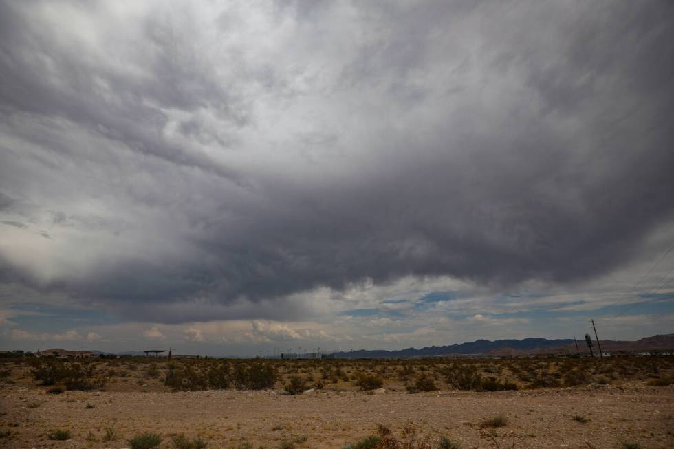
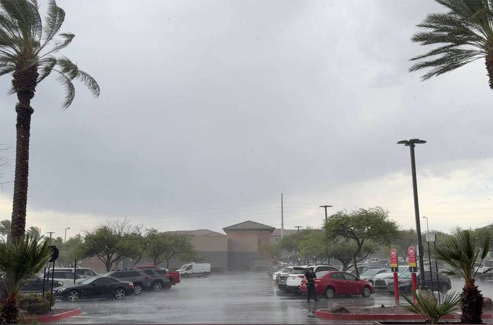
Quick downpours in the far west part of the Las Vegas Valley were confined Sunday to the Summerlin-Cheyenne area shortly after noon.
Up to two-tenths of an inch fell on pavement in just a few minutes.
The storms moved off to the northeast shortly after 1:15 p.m., leaving most of the valley dry but potentially a target for monsoon rain that could develop as the afternoon warmed.
Thunderstorms producing heavy rain are quickly moving through the western portion of the valley. Rain gauges in the area have picked up 0.10 to 0.25" of rain. This will result in slick roadways and ponding of water on roads.
Use caution if traveling in the area! #VegasWeather pic.twitter.com/AB2jjQAD25
— NWS Las Vegas (@NWSVegas) July 14, 2024
Rain fell south of Calico Basin with a quarter-inch recorded during the noon hour.
No other areas of the valley were getting precipitation as of 1 p.m.
⚠️Severe Thunderstorm Warning⚠️
📍Portions of Lake Mead near Temple Bar
⏰until 2:00 pm MST/PDT🌬️Strong gusty winds up to 60 mph will create dangerous boating conditions.
⛈️Frequent & dangerous lightning is associated with this storm. #AZwx #NVwx #LakeMead pic.twitter.com/2kan7Ahh5H— NWS Las Vegas (@NWSVegas) July 14, 2024
The closest storm activity was near Dolan Springs and the Temple Bar area of Lake Mead National Recreation where severe thunderstorm warnings were issued for the afternoon.
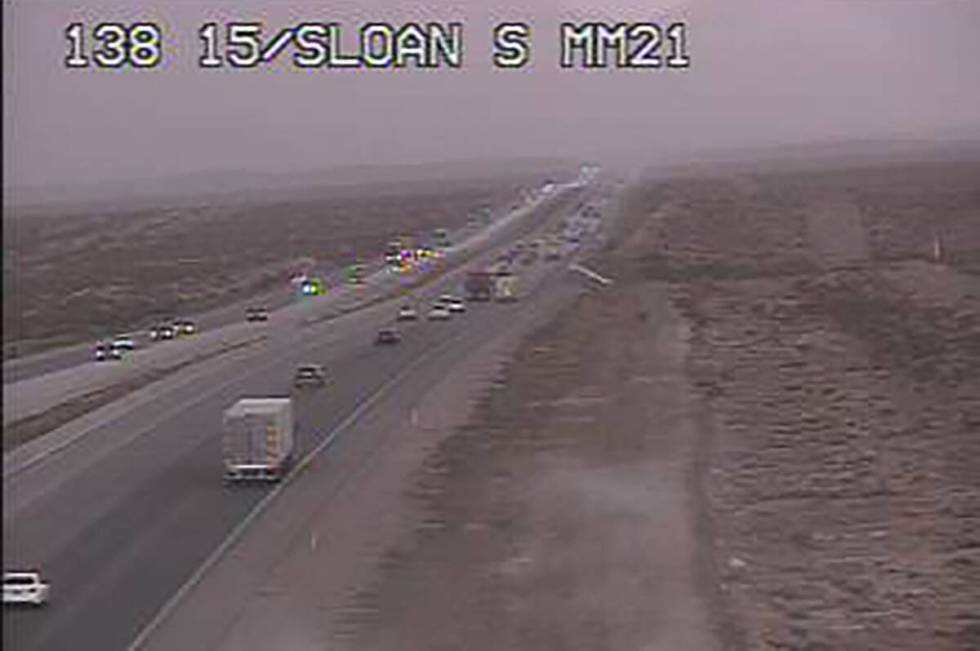
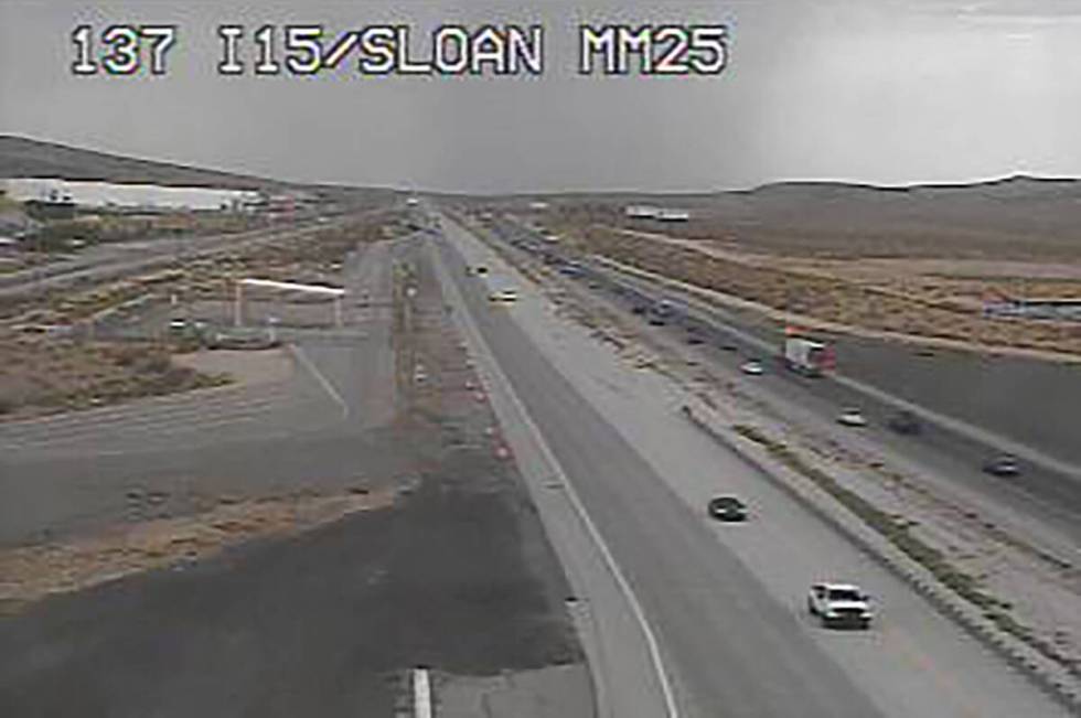
Shortly before noon, heavy rain over the Jean Dry Lake Bed east of Interstate 15 near Jean prompted a National Weather Service flash flood warning for the area.
⚠️Flash Flood Warning⚠️
📍Southern Clark County near the Jean Dry Lake Bed
⏰until 2:00 pm PDT⛈️Thunderstorms producing heavy rain with rain rates of 1.25"/hour will result in flash flooding. One gauge has already picked up 0.43" of rain in less than 30 minutes. #NVwx pic.twitter.com/r4CuVG9Mer
— NWS Las Vegas (@NWSVegas) July 14, 2024
“Some sensors picked up a rain rate of an inch and a quarter per hour,” meteorologist Morgan Stessman said. “In about 25 minutes it rained a half-inch, mainly in the rural area.”
The closest rain gauges are at the base of the mountains west of the area, both were showing around four-tenths on an inch in the past hour.
⚠️Severe Thunderstorm Warning⚠️
📍Grand Canyon Skywalk in AZ
⏰until 3:00 pm PDT/MDT🌬️Strong gusty winds up to 60 mph
⛈️Up to 1 inch Hail
🗲 Frequent & dangerous lightning
🌧️Heavy rain#AZwx pic.twitter.com/qPc17iKTHj— NWS Las Vegas (@NWSVegas) July 14, 2024
Thuderstorms, wind and hail were hitting the Grand Canyon Skywalk around the 3 p.m. hour, the weather service said in a post on X.
Overnight rainfall across valley
Overnight rain fell on much of the Las Vegas Valley that was missed during Saturday afternoon storms, primarily the Henderson area.
Nearly all Regional Flood Control District rain gauges showed from .04 to .20 of an inch of precipitation in the 12 hours ending at 5 a.m. Sunday. Red Rock led the way with .55 of an inch.
The humidity at Harry Reid International Airport reached a high of 52 percent overnight. It dropped to 38 percent by 7:30 a.m.
Scattered thunderstorms are possible across portions of southern NV, eastern CA, and northwest AZ. These storms will be capable of producing gusty winds, brief periods of heavy rain, and lightning. #CAWX #AZWX #NVWX pic.twitter.com/Z6WVtiJD9R
— NWS Las Vegas (@NWSVegas) July 14, 2024
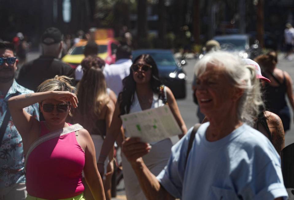
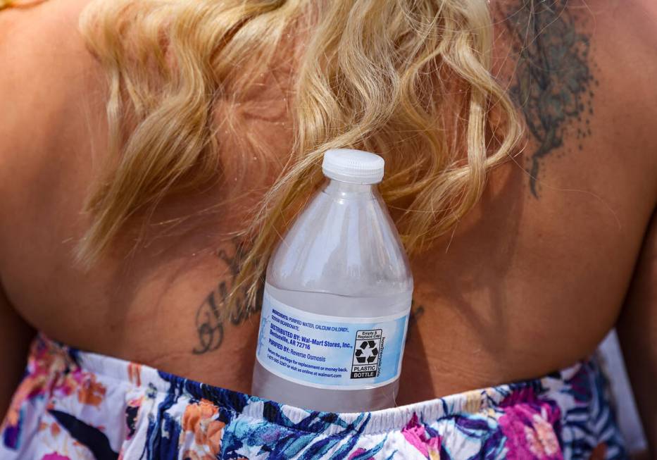
The Sunday forecast from the weather service called for a high near 108 with a 40 percent chance of showers and thunderstorms, mainly between 1 and 5 p.m.
Sunday night will see a 10 percent chance of showers before 8 p.m. The Monday low is expected to be around 87.
Monday’s high is projected to be near 109, with a 10 percent chance of showers after 11 a.m.
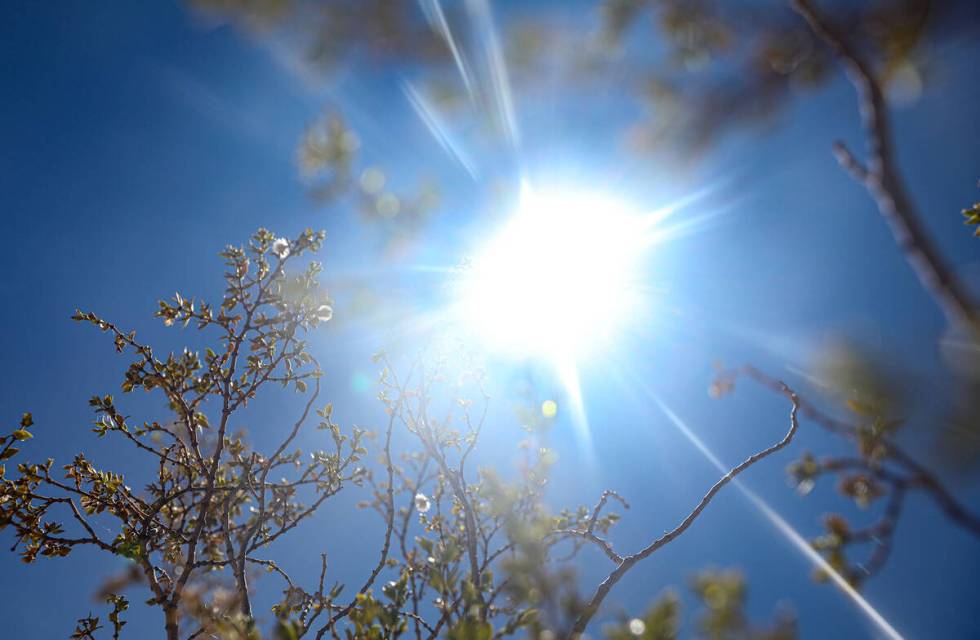
Highs will be around 110 for much of the coming week, says the weather service.
Temperatures are 5-7 degrees above the normal for mid-July, but below the record heat spell that produced a high of 120 a week ago.
Contact Marvin Clemons at mclemons@reviewjournal.com.