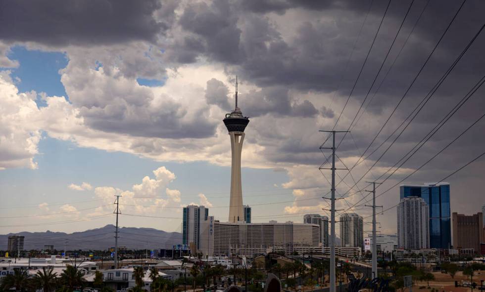
Southwest ridges hit with quick shower; excessive heat all weekend

A few far west parts of the Las Vegas Valley received up to three-quarters of an inch of rain early Friday afternoon.
A rain gauge at Blue Diamond ridge logged .75 of an inch between noon at 2 p.m. while a nearby gauge a mile east logged .47 of an inch.
A flood advisory runs until 5:30 p.m. in the far southwest, according to the National Weather Service.
The sky has mostly cleared as temperatures elevate toward a projected high of 110.
An excessive heat warning runs from 10 a.m. Saturday to 9 p.m. Sunday. High temperatures are forecast to reach around 113 Saturday and Sunday.
On Thursday, several parts of the valley received a dose of monsoon moisture with many areas under some form of a flash flood advisory.
Chances are monsoon storm activity will be largely absent until Sunday, the National Weather Service said..
“A bit of a lull for a few days with about a 15 to 20 percent chance in Las Vegas at higher terrain on Friday and Saturday,” meteorologist Morgan Stessman said. “The best chance (for moisture) will be Sunday and onward.”
Stessman pegged the Sunday odds at about 20 percent, rising to 30 percent Monday and Tuesday.
Heat, naturally, remains a consistent factor.
Cooling Stations Flier English 7.17.24 (002) by Las Vegas Review-Journal on Scribd
Cooling stations across the region are open from Friday through Sunday. Hours may vary.
Overnight lows will be around 90.
July is setting heat records nearly every day, with the average daily temperature more than 3 degrees warmer than the record set last July.
That’s in addition to the all-time record high of 120 set July 7 at the start of the hottest week in Las Vegas weather history.
Contact Marvin Clemons at mclemons@reviewjournal.com.