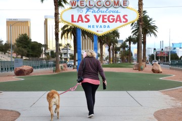
Thursday peaks at 108; records may fall as Vegas heat wave begins


High temperatures in the region could reach up to 120 by Friday as an excessive heat warning started at 10 a.m. Thursday for Southern Nevada, northwest Arizona and southeast California. It runs though Saturday evening.
The Thursday high temperature at Harry Reid International Airport reached 108 about 2 p.m. Wind gusts reached 28 mph in the late afternoon.
It’s possible some decades-old high temperatures could be reached or exceeded.
The heat wave is widespread, covering much of the entire Southwest.
An Excessive Heat Warning goes into effect tomorrow at 10:00 am PDT for much of the area. Dangerous & potentially record breaking temperatures are expected over the next few days.
Visit https://t.co/H4ycRSpCVQ for the latest forecast info.#VegasWeather #DeathValley #NVwx #CAwx pic.twitter.com/cQ5fhujnB8
— NWS Las Vegas (@NWSVegas) June 8, 2022
The Las Vegas high is expected to top out at 109 on Friday while Furnace Creek in Death Valley may rise to the 117 to 120 range, according to the National Weather Service.
The record at Harry Reid International Airport for June 10 is 108, set in 1996. The June 11 record is 109, set in 1940 and 1956.
The Furnace Creek record for June 10 is 120, set in 1921 and 1994. The June 11 record is 121, set in 1921.
Friday low of 82
The Friday morning low at the airport should dip to about 82 with winds in the low teens.
A Friday high of 109 is predicted with similar wind conditions as Thursday.
Saturday will be nearly identical conditions with some slight relief expected starting Sunday with a projected high of 106.
Do you know the difference between Heat Exhaustion and Heat Stroke? 🌡️☀️🥵🔥 #AZwx #CAwx #NVwx #VegasWeather https://t.co/Rx2tpwhKe1
— NWS Las Vegas (@NWSVegas) June 8, 2022
Cooling stations will be open across Clark County during the excessive heat wave.
Among precautions to follow during excessive heat include:
— Drink plenty of water.
— Stay in an air-conditioned room and out of the sun.
— Check up on relatives and neighbors.
— Children and pets should never be left unattended in vehicles under any circumstances.
— Anyone overcome by heat should be moved to a cool and shaded location. Heat stroke is an emergency! Call 911.
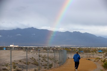
Precipitation 1.90” short
The official precipitation total at the airport is 0.16 of an inch compared with a norm by June 9 of 2.06 inches.
Contact Marvin Clemons at mclemons@reviewjournal.com. Follow @Marv_in_Vegas on Twitter.