Scientists working on first major map of all aquatic species in western US

BOISE, Idaho — It sounds like a big fish story: a plan to create a biodiversity map identifying thousands of aquatic species in every river and stream in the western U.S.
But scientists say they’re steadily reeling in that whopper and by next summer will have the first Aquatic Environmental DNA Atlas available for the public.
Boise-based U.S. Forest Service fisheries biologist Dan Isaak is leading the project and says such a map could help with land management decisions and deciding where to spend limited money and resources.
“It’s kind of the Holy Grail for biologists to know what a true biodiversity map looks like,” he said. “To have that formatted digitally so you can do lots of science with it will be transformative in terms of the quality of information we’ll have to conserve species.”
Isaak said annual surveys could provide snapshots so scientists can see how biodiversity and ecosystems change over time. Because of the project’s immense scale, he said, sample collecting likely will require help from many entities, including citizen scientists.
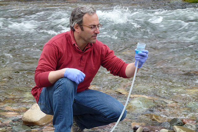
The map eventually will include everything from insects to salmon to river otters. It’s possible because of a new technology that can identify stream inhabitants by analyzing water samples containing DNA. The technology also can be used to identify invasive species.
That technology is evolving, said Michael Schwartz, the Forest Service’s director of the National Genomics Center for Wildlife and Fish Conservation in Missoula, Montana. Currently, he said, scientists can detect only one species at a time in a stream sample. He said the goal is to identify multiple species in a single test from one sample. A rough estimate for when that might be possible is about a year, he said.
The trove of information has the potential to be so vast that questions not presently imagined might arise.
“Any time science undertakes large projects like this, the payouts can be in directions you don’t expect,” Schwartz said.
Ultimately, he said, the publicly available information could be used by someone with an iPad or other device who could go to a section of river and see what species it contains.
The Aquatic Environmental DNA Atlas for the western U.S. has its genesis in a smaller-scale project called the Bull Trout Environmental DNA Atlas involving five states — Idaho, Montana, Nevada, Oregon and Washington — where the federally protected fish is found. That effort, Isaak said, has discovered bull trout in areas where they were thought not to exist.
Isaak also has been working on something called the Cold Water Climate Shield to identify streams that could serve as a refuge for cold water species, such as bull trout, if global warming continues. That map uses millions of temperature recordings going back decades and has expanded to include most of the western U.S. Stream temperatures in lower elevations have risen several degrees over the past 30 years, Isaak said. The DNA Atlas has been confirming the kind of species present as predicted by the Cold Water Climate Shield, Schwartz said.
What scientists ultimately hope to do is combine all the information from stream temperatures, DNA Atlas sampling, topography and weather patterns to get more insights into species distribution patterns and even how entire ecosystems function.
“The data sets can be bigger because computers are bigger,” Isaak said.
Even for Isaak, who is called a visionary by his colleagues, the leaps in technology that make his ideas possible can be mind-boggling.
“It’s just been an ongoing revelation,” he said, recalling 15 years ago using pencil and paper to make streamside observations. “It still seems like magic to me that you can go take a water sample and you have instruments powerful enough to discern what species are present.”