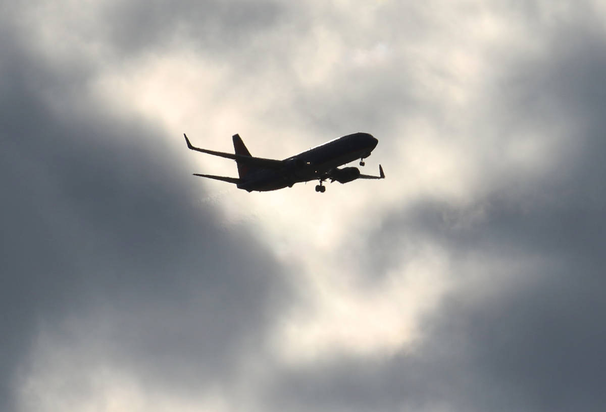
Updated flight paths, new navigation system launching in Las Vegas Valley
Updated flight routes aimed at making flying into Southern Nevada safer and more efficient will go into effect on Thursday.
The new routes are part of the Federal Aviation Administration’s Las Vegas Metroplex project, which involves replacing the decades old beacon-based navigation system with a new satellite navigation system.
The agency compared the change to going from utilizing paper maps to using a GPS system.
Although the airspace around Las Vegas is already deemed safe by the FAA, the routes planes take from the various airports in the area aren’t as efficient as possible, which the new satellite-based system will help improve.
The project includes McCarran International, North Las Vegas and Henderson Executive airports and is one of 11 such projects nationwide.
The new technology will allow officials to improve aircraft routing in the region, where airspace is limited by the mountainous terrain surrounding the Las Vegas Valley and the restricted military airspace tied to Nellis Air Force Base.
Before the metroplex plan was approved, the FAA conducted an environmental review and held nearly a dozen workshops between 2017 and 2019.
The new routes were slated to go into effect in November, but were pushed back to Thursday due to minor adjustments made to five procedures.
Changes were made to approach and departure protocols at McCarran and Henderson airports that needed to be addressed after the project received a finding of no significant impact last year.
After a lengthy review of the changes, the FAA deemed the updates didn’t warrant a supplement to the final environmental assessment.
Contact Mick Akers at makers@reviewjournal.com or 702-387-2920. Follow @mickakers on Twitter.


