Trails around Lake Tahoe offer variety of walks, big views
Hiking opportunities on the Nevada side of Lake Tahoe are plentiful, varied and often come with stunning views of Big Blue. Options with appeal for most ages and fitness levels include walking along a boardwalk just inches above a wildflower-carpeted meadow; following a paved lakeside path that leads to pristine beaches; and trekking through history and forested beauty along the lesser-known Incline Flume Trail.
Lake Tahoe’s east and north shores have their share of strenuous hiking and biking trails, including the much-photographed Flume Trail that’s famous among mountain bikers. Also on Nevada’s side of the lake are lengthy sections of the Tahoe Rim Trail, which forms a 170-mile loop around the Tahoe Basin of Nevada and California. Outfitters and bike rental shops have plenty of information, equipment and logistical help for anyone interested in those pursuits.
But plan-it-yourself day hikes abound for those coming up to the lake during a Reno trip or for an overnight stay in Incline Village. Access points to several trails are found right off State Route 431, also known as Mount Rose Highway, which takes drivers on a twisted route from Reno to Incline Village in less than an hour.
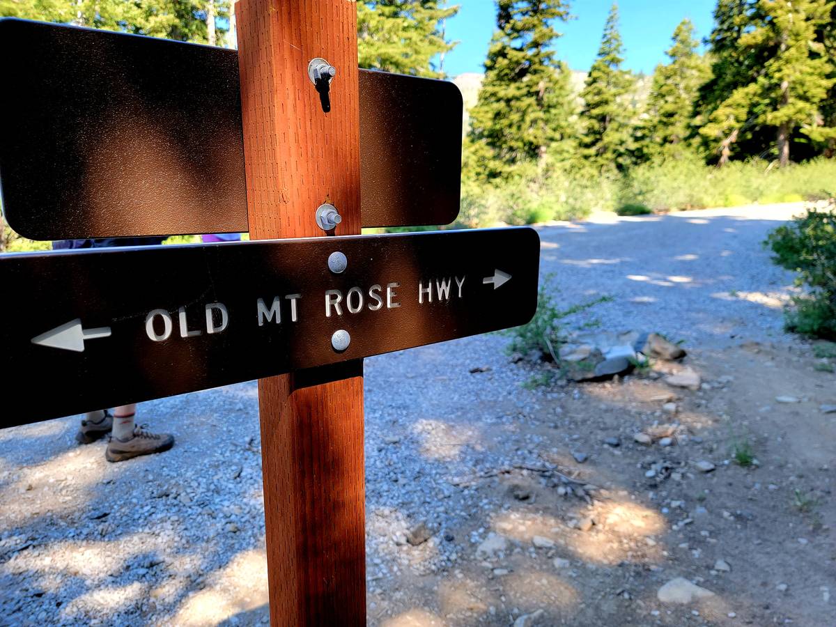
After motorists pass Mt. Rose Highway’s summit en route to Incline Village, they begin traveling through what looks like a postcard and is officially called Tahoe Meadows. Trailheads and boardwalks are visible along the roadside, where parking spots can be in high demand. Farther along the highway toward the stop-worthy Lake Tahoe scenic overlook is an easy-to-miss small parking lot for access to the Incline Flume Trail-Old Mt. Rose Highway. A third suggested hike, East Shore Tahoe Trail, begins closer to the lake on Tunnel Creek Road in Incline Village.
Hikes in the Lake Tahoe area are as long and challenging as visitors want to make them. Depending on time constraints, three miles should be a minimum investment to take advantage of the awe-inspiring big picture as well as detailed looks at Jeffrey pines, Douglas firs, wildflowers, granite boulders and mountain birds. The Tahoe Rim Trail intersects with Tahoe Meadows loop trails, so hiking there can be extended by hours; the Incline Flume Trail-Old Mt. Rose Highway hike also may be lengthened, although the route may be difficult to distinguish at times; and the East Shore Tahoe Trail is three miles one way but six miles round trip (think about stuffing lunch and a towel in the backpack and planning for a long, relaxing break at Sand Harbor before trekking back to Incline Village).
Quick note: Wildfire smoke can be a health hazard and visibility problem in the Tahoe Basin in late summer, as it was recently with Northern California’s Dixie Fire.
Tahoe Meadows
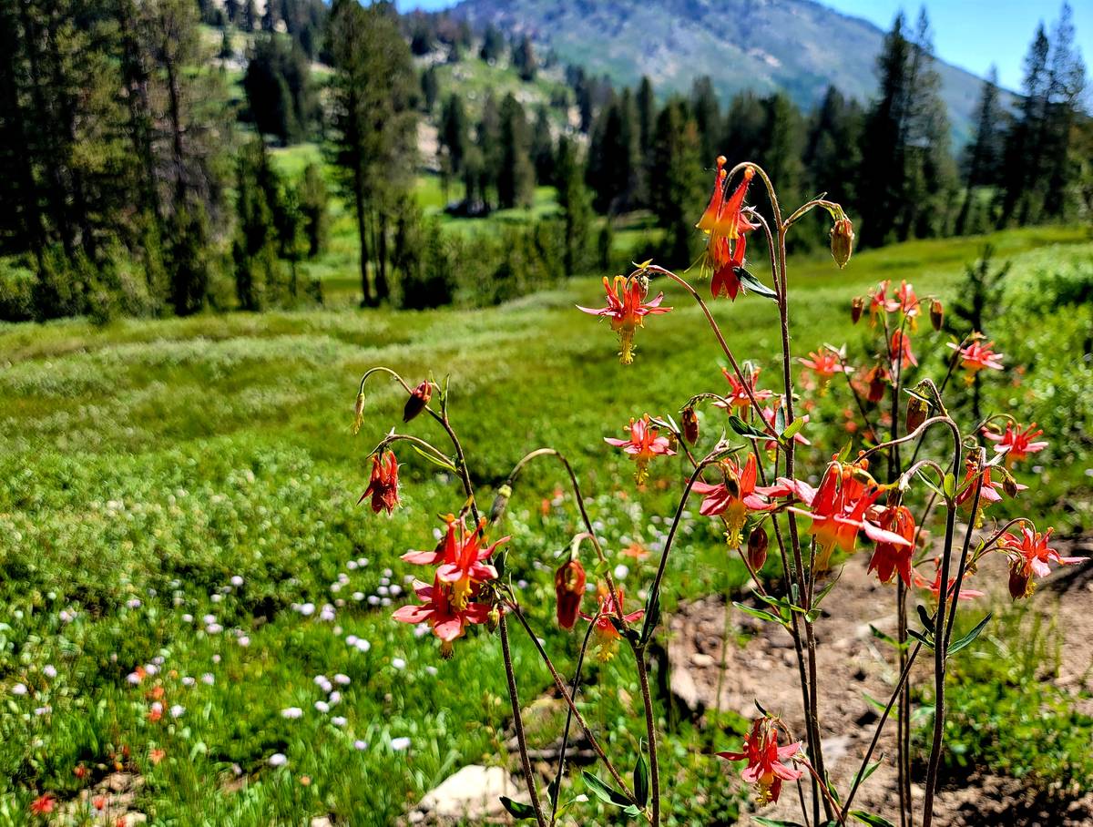
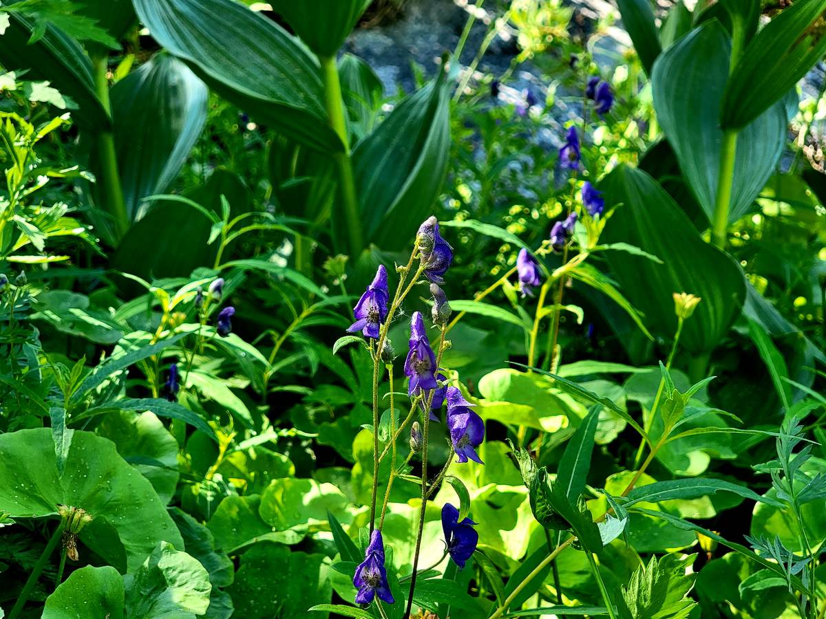
Shooting stars in bright pink, lupines in lavender, monkey flowers in yellow, monkshood in deep purple (careful, they’re toxic) and columbines in crimson were among the Sierra Nevada wildflowers lining the boardwalk and forest trail on our recent Tahoe Meadows hike. We logged about three miles on the loop trails. The boardwalk portions are flat, and the forested parts have mild elevation gains.
August is typically a drier month in the Humboldt-Toiyabe National Forest, but boardwalk visitors may still spy some late-blooming wildflowers and hardier varieties surviving at 8,700 feet.
We parked along the highway near the trailhead closer to the Lake Tahoe scenic overlook, rather than near a second meadow boardwalk and hiking area closer Mt. Rose Highway’s summit. Either spot will give visitors plenty of big-sky beauty and the opportunity to trek through meadows without stepping on and harming plants.
A pine grosbeak perched in a lodgepole pine won best bird of our hike, followed by a white-crowned sparrow hopping along the boardwalk with its beak full of unidentified insect. We spotted no bears, but it’s easy to imagine them foraging in the lush greenery edging the drier forest.
Incline Flume Trail-Old Mt. Rose Highway
Wooden remnants from Lake Tahoe’s commercial logging past, splendid views of the lake, wildflowers in a rainbow of colors and shade from tall pines that have replaced those cut down in the late 1800s. Those are among the highlights of Incline Flume Trail, which also gives hikers a chance to step on the Old Mt. Rose Highway (replaced by the current paved thoroughfare in 1976).
Incline Flume Trail, which alludes to historic lumber operations that relied on flumes and tramways to transport felled trees and lumber in the immediate area, is like a shy cousin to the more popular Flume Trail. That bucket-list trail for mountain bikers stretches 14 miles above Lake Tahoe’s eastern shore from Tunnel Creek to Spooner Lake.
The shorter Incline Flume Trail starts just above Incline Village and provides memorable views of Lake Tahoe and surrounding Sierra Nevada peaks. We hiked about three miles along a loop that eventually led to a stretch of Old Mt. Rose highway and back up to the small parking area.
Velvety mule ear plants with bright yellow blooms, Indian paintbrush, penstemons and pennyroyals grew on hillsides along the trail. We found columbines and ranger’s buttons near ravines with soils moistened by snowmelt. White-headed woodpeckers and brown creepers were the best birds seen.
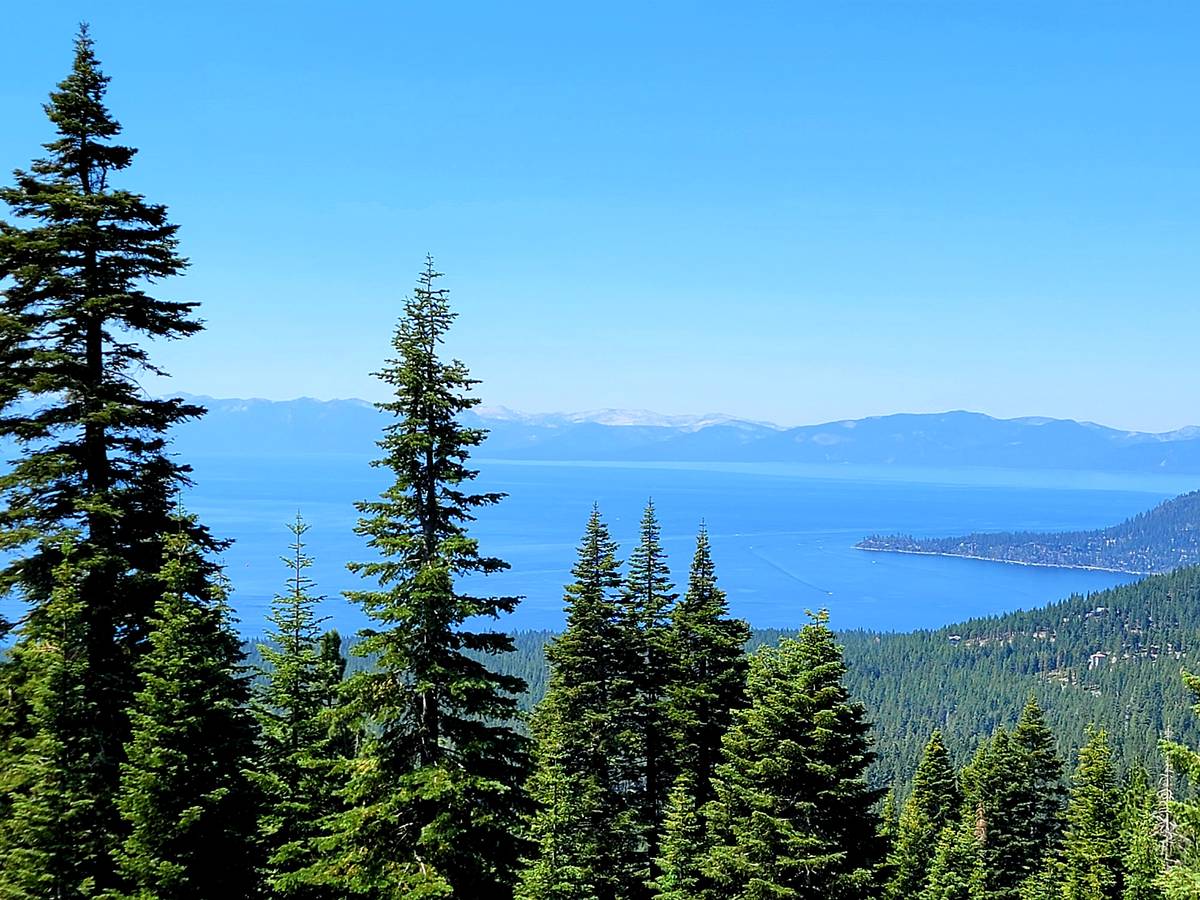
This hike isn’t as easy to find as the busy Tahoe Meadows or Mt. Rose Summit trailheads along State Route 431, but the effort is worthwhile because fewer people on the trail translates into more peaceful trekking. Coming up from Incline Village, the trail’s small parking area is on the left side of the highway just past the Lake Tahoe scenic overlook.
East Shore Tahoe Trail
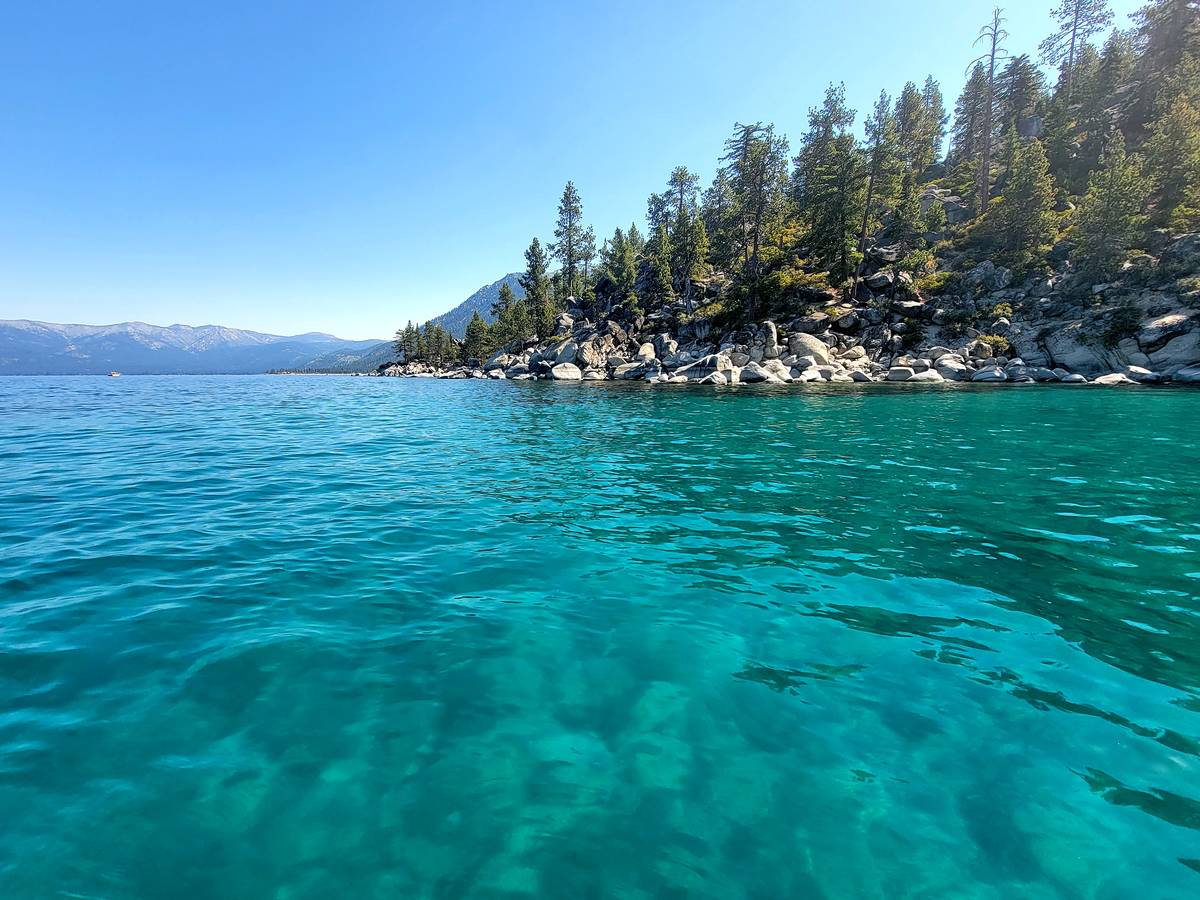
This three-mile trail is not about brilliant wildflowers and mountain birds, although there likely will be some of those. Instead, this trail is all about magnificent views of North America’s largest alpine lake and safe access to some of its coveted beaches. It’s about crystal clear waters mixing with giant granite boulders, and about you having the best perspective to take it all in.
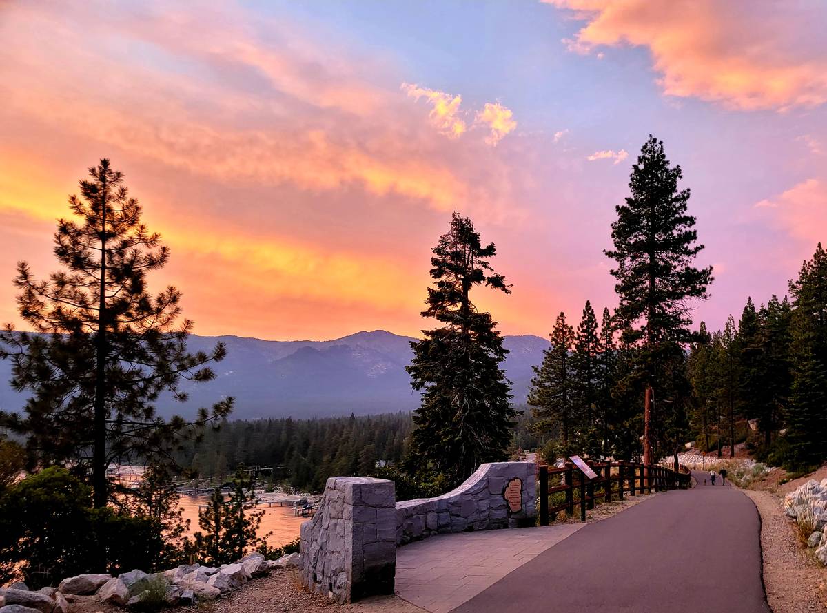
East Shore Tahoe Trail is a newcomer on the trail scene, an impressive engineering feat and bureaucratic triumph completed two years ago. The 10-foot-wide paved trail is busy on summer days with walkers, joggers and bicyclists coming and going on a route running from Incline Village to Sand Harbor State Park.
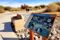
The trail parallels State Route 28 and even goes through a tunnel under the busy road, following the lakeshore. There are six bridges, 16 viewpoints with informative panels, places to secure bicycles and access to Hidden Beach and Sand Harbor.
Holding a cup of coffee in hand for an early-morning walk or carrying a beach towel in a backpack while biking for a mid-day swim or enjoying the company of friends on an after-dinner stroll, visitors will not be disappointed by East Shore Tahoe Trail and its vistas.
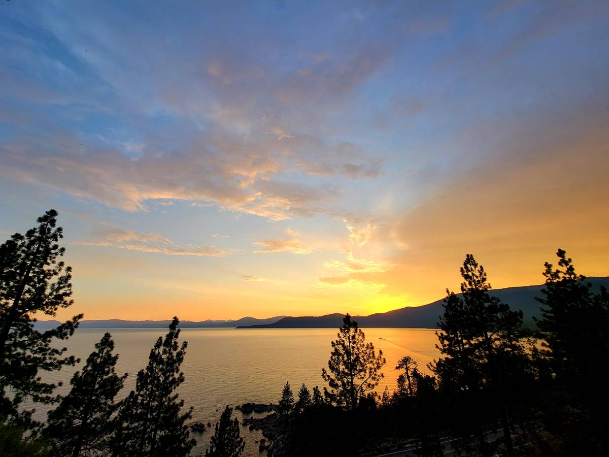
A Lake Tahoe sunset played out in the skies above Incline Village on a July evening as we walked with friends. The hues intensified, turning from Creamsicle orange to raspberry sherbet. Such memories mean we’ll be plotting to return to East Shore Tahoe Trail before long.


