
Monsoon rains return to Las Vegas; east valley sees the most
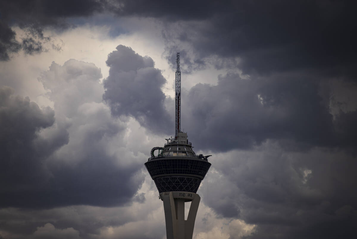
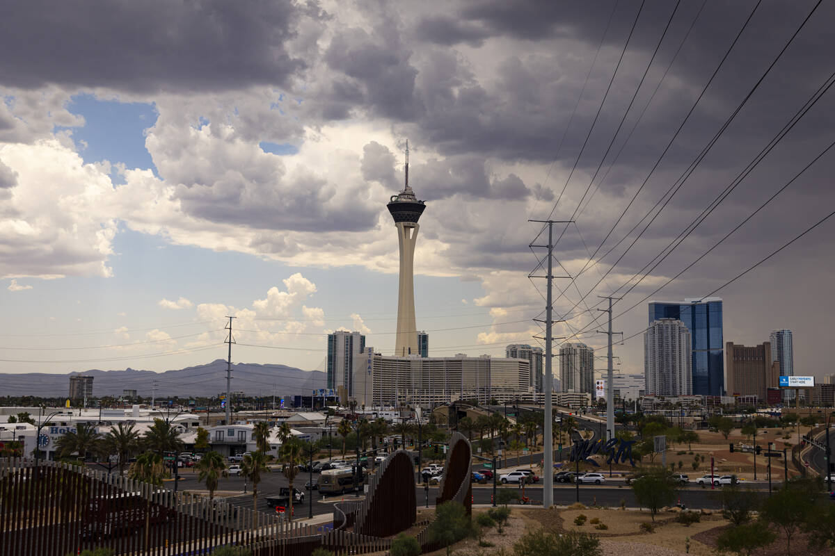
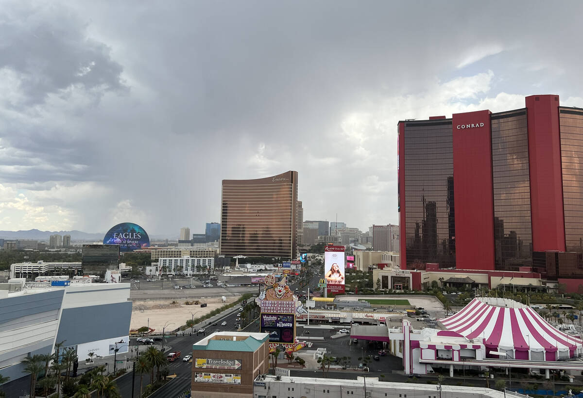
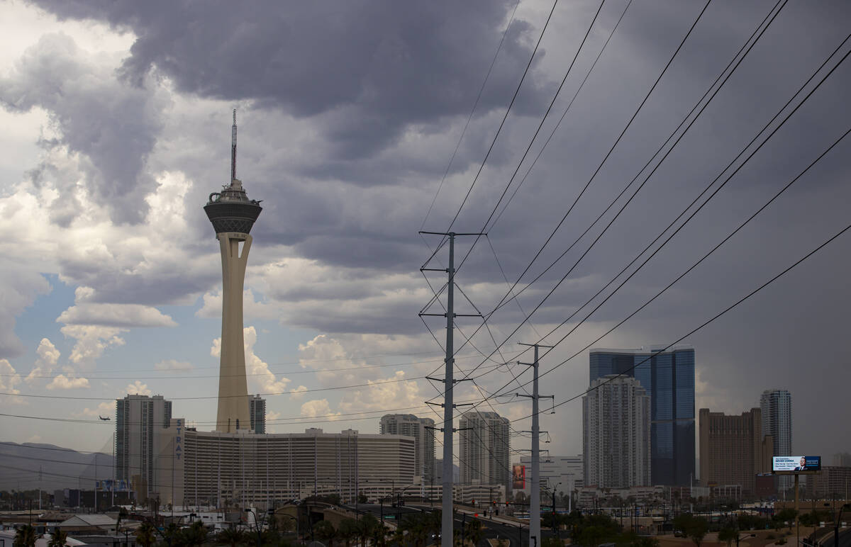


Monsoonal moisture returned to the Las Vegas Valley on Thursday, primarily affecting the east side.
A severe flash flood warning was issued for central Clark County, including most of the east half of the valley, in the afternoon.
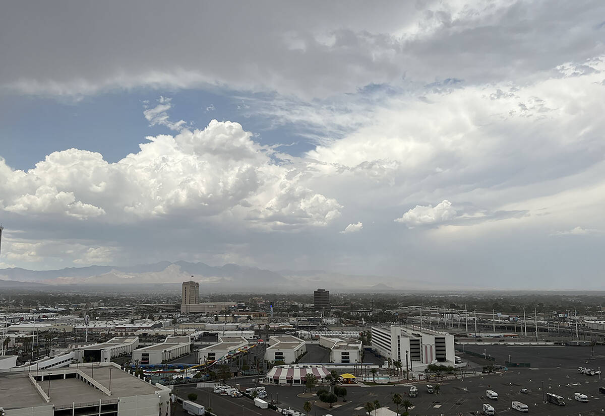
Storm cells declined in strength as of 4:30 p.m., with most of the rain activity on the east side of the valley.
Earlier, the east side of the valley from Sloan Canyon north through Henderson and toward Nellis Air Force Base received the heaviest rain as of 3:20 p.m. It started diminishing around 4 p.m.
The south end of the valley received considerable rain early in the afternoon.
Nearly a third of an inch of rain fell near the Silverado Ranch drainage basin in the southwest valley as of 1 p.m., according to Regional Flood Control District gauges. Other gauges in the area showed .20 of an inch or a bit less.
Rainfall was heavy on Warm Springs Road in Henderson with .079 of an inch falling within an hour before 2 p.m. Several gauges in the area showed more than a half-inch of rain and increasing in the afternoon.
Some hail and showers were spotted by a Review-Journal staffer at Palo Verde and Boulder Highway in the southeast valley. Thunder and lightning were also reported in Henderson.
A flash flood warning was in effect until 4:15 p.m. for Henderson and the southeast valley. A gauge near Calico Ridge showed 1.11 inches fell in two hours before 3:30 p.m.
Lake Mead National Recreation Area got hit with small, but heavy storm cells, while the north-central part of the valley was left primarily dry as of 3:20 p.m.
Contact Marvin Clemons at mclemons@reviewjournal.com.


