Mojave National Preserve a sprawling playground
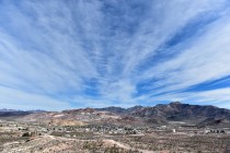
Cooler autumn temperatures usher in the best season to visit the sprawling Mojave National Preserve. The 1.6 million-acre Southern California preserve encompasses a scenic and historic portion of the Mojave Desert.
The remote region, managed by the National Park Service, is popular with campers, hikers, mountain bikers, horseback riders and off-highway explorers. A handful of paved, partially paved and gravel side roads access two information centers, two campgrounds, several trails and other developed facilities. These routes are usually open to use by passenger vehicles driven carefully, but all are subject to occasional flash-flood damage. Visitors are safest using higher-clearance vehicles. Stay off side roads unless you have four-wheel drive.
Interstate 15 on the west, U.S. Highway 95 on the east and Interstate 40 on the south provide access to several routes into Mojave National Preserve. Since there are no services within the preserve, start with a full gas tank and carry extra water, a good spare tire and the tools and knowledge to change a tire.
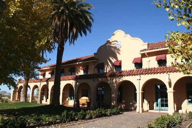
The closest access from Las Vegas is by way of I-15 between Mountain Pass and Baker, Calif., on Cima Road or from the Searchlight cutoff south of Primm, where you turn off before Nipton, Calif., on a paved mine road that also leads to the old railroad settlement of Cima. Head south from Cima on Kelso Road to reach the preserve’s main information station in the restored Kelso Depot. The handsome mission-style railroad depot contains displays, an introductory film, refurbished rooms, a gift shop and an art gallery. Its little cafe in the waiting room is currently closed.
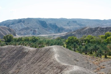
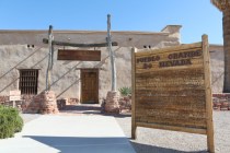
You can reach the interior of the preserve by turning on Cedar Canyon Road about 4½ miles south of Cima. This gravel road meets up with mostly unpaved Black Canyon Road after a few scenic miles. About a mile before you reach this junction, the road passes Mid-Hills Campground, established in a forest of pinyons and junipers that was scorched by a 2005 wildfire. Turn south on Black Canyon Road to reach the second developed campground at a dramatically eroded area called Hole-in-the-Wall. This area has a visitor center and bookstore, open on weekends, picnic area and equestrian facilities adjacent to a tent and RV campground. All campsites in the preserve are available on a first-come basis for a minimal charge per night.
For visitors who enjoy exploring old roads and trails, the Mojave National Preserve contains more than 1,000 miles of old overland trails, roads into ranching areas and rough tracks once used to reach area mines. Historic Mojave Road traverses the area, much of it open to ATVs and four-wheel-drive vehicles. Built by the U.S. Army in the 1800s for access from Arizona across the desert into California, the route was guarded by a series of small military outposts, all now in ruins.
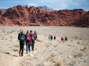
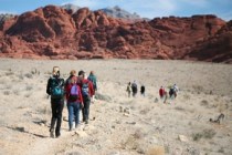
There are several developed hiking trails of varying lengths and degrees of difficulty. Some are also open to equestrian use. A few of the most popular trails begin near the two campgrounds, including one long trail that links the two camping developments. There are also a few loop trails, each several miles long.
A favorite with many visitors, a short but daring route descends into the Hole-in-the-Wall to reach Banshee Canyon. At Zzyzx, an oasis on Cima Road, visitors stroll a short, easy trail around a lake with exhibits detailing the cultural history of the site, a 1940s health retreat now used for desert studies by the California State University system.
Many other routes are best suited to experienced hikers since they are not well-marked or improved. Hikers should be properly conditioned, well-equipped and protected from the sun. They should carry at least a gallon of water each. Tell a ranger or someone at home where you are going. Cellphone coverage is spotty. Carry a detailed map because GPS systems can be unreliable in this remote area.
Margo Bartlett Pesek’s Trip of the Week column appears on Sundays.


