Santa Clara River, Gunlock Lake attract scenery lovers and recreation fans
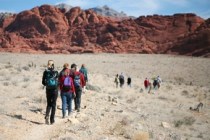
The beautiful and sometimes boisterous Santa Clara River in southwestern Utah provides scenery and recreation from its source in the Pine Valley Mountains to its end, where it joins the Virgin River near St. George. Fishermen, boaters, hikers, mountain bikers, campers and scenery-seeking travelers follow the little river to find outdoor enjoyment from the region's major attractions.
To explore the landscapes traversed by the Santa Clara River, head for St. George, following Interstate 15 from Las Vegas to Southern Utah's largest community 120 miles distant. Exit on Bluff Street and turn left to reach Highway 18, which runs past Snow Canyon State Park to the crossroads village of Veyo about 20 miles from St. George. The highway crosses the Santa Clara River on a bridge over a steep-walled canyon at Veyo, known for its hot spring resort on the river.
To explore the upper river, head north from Veyo about seven miles to the turnoff to Pine Valley at the community of Central. Watch for turnoffs to a couple of reservoirs popular for fishing and boating created by damming the Santa Clara. From Central, the highway runs about 10 miles through the historic town of Pine Valley into Dixie National Forest, where developed campgrounds and hiking trailheads attract outdoor enthusiasts. The river, hardly more than a creek at its beginning, courses through lovely woodlands. Fishermen try their luck along the stream and at a small forest lake.
To follow the lower river, turn off Highway 18 at Veyo onto Route 3184, a county road. This road creates a loop back to St. George through the pioneer community of Santa Clara, now vastly enlarged by the area's phenomenal growth. Slow down and enjoy the drive, for it offers wide variety in scenery.
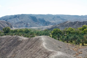
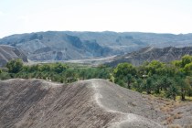
When you leave Veyo, Highway 3184 descends a twisting course into the narrow gorge the river cut for itself through dark basalt. Crowded with cottonwoods, willows and other vegetations, this is a pretty drive any time, but especially when the trees color up in October and November. Stop to read the roadside marker noting this route as part of the Old Spanish Trail.
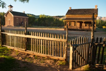
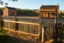
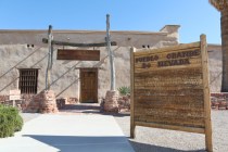
You'll soon reach Gunlock, a quiet hamlet with a church, post office and rodeo arena. The town is named for pioneer Mormon rancher William "Gunlock Bill" Hamblin, a noted marksman and gunsmith. He and his better-known brother, Jack Hamblin, a missionary to the native groups in the area, were among the first Mormon settlers in the region in the 1850s. Visit Jacob Hamblin's two-story stone-and-log home in the historic district of old Santa Clara at the end of the loop drive.
Two miles south of Gunlock, the road runs close by Gunlock Lake State Park, popular with boaters and anglers all year. The small, semi-developed park centers on a reservoir created by a dam on the Santa Clara. Visitors find boat-launching areas, picnic areas, campsites and vault toilets, but no drinking water.
The lake fills a little swale amid hills thinly forested with pinyon and junipers. Day use of the area costs $5. Expect to pay a $10 fee for overnight use of beachside campsites. Some campers prefer several more sheltered primitive campsites established through repeated use along the river south of the park.
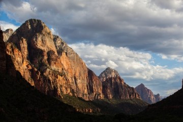
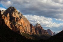
When you explore along the river below the park, walk upstream to find lovely waterfalls over red rocks at the lake's outlet into the river. Red stone cliffs form a spectacular backdrop for the river as travelers pass the back entrance road to Snow Canyon State Park, the Shivwits (Paiute) Reservation and the junction with Old US Highway 91 on the return to Santa Clara along the river.
Since before the arrival of Europeans on this continent, men have tried to harness the flow of the Santa Clara River. Early native cultures planted little plots of corn, beans and squash near the river and channeled the water for irrigation. The river's flooding often wiped out both irrigation ditches and crops. When the Mormons colonized the area, they immediately set about the same work, only to find out the river's destructive floods could wipe out months of work in moments.
Today, the battle of man against river continues. A record flood in January 2005, the worst since 1862, washed away homes, destroyed property and cost at least one life. Replanting of streamside vegetation still continues.
Margo Bartlett Pesek's column appears on Sundays.


