4 spots to enjoy a winter hike in Southern Nevada
Getting off to a rocky start in the new year can be a good thing, if the rocks are under your feet, you’re wearing comfortable shoes and you’re taking advantage of Southern Nevada’s bounty of hiking opportunities.
On days of reasonable weather, winter hiking can be the best of trail times. Exposed trails in places such as Valley of Fire State Park and Lake Mead National Recreation Area can be exhilarating in January, February and early March. The warming sun on a hiker’s back is a good thing in winter, rather than the danger it poses in summer.
Southern Nevada trail choices range from easy and mostly flat to difficult and nearly straight up. At the entrance gate of the popular 13-mile scenic drive at Red Rock Canyon National Conservation Area, you can pick up a map and a list of trail descriptions. Six hikes inside the reservations-only area are listed as easy, 10 as moderate and six as difficult. Also offering a variety of hiking choices are Lake Mead and Sloan Canyon National Conservation Area.
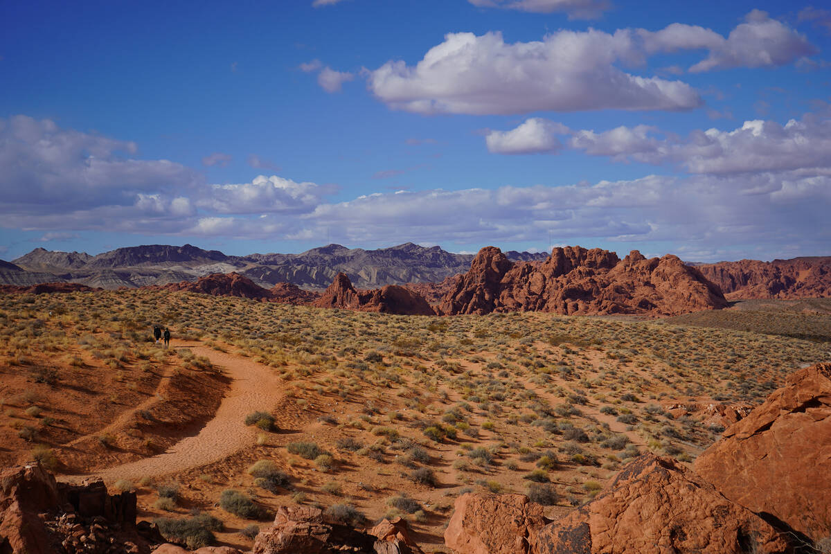
Driving a little farther, to Valley of Fire or Pahranagat National Wildlife Refuge, also gives hikers opportunities to appreciate scenic, rocky spaces while getting some exercise. When planning a hike, keep in mind that winter days are shorter, so daylight is more limited.
Here are some enjoyable hikes for those winter days with mostly clear skies and only gentle breezes:
Fire Wave Trail
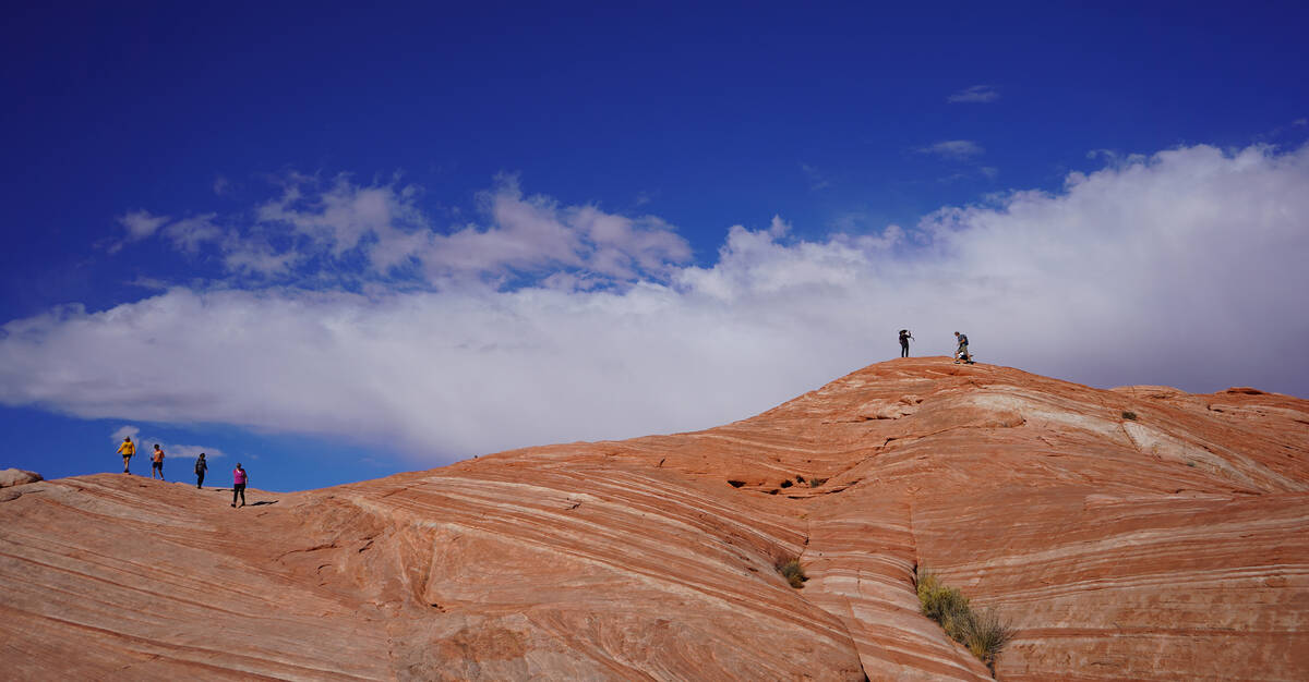
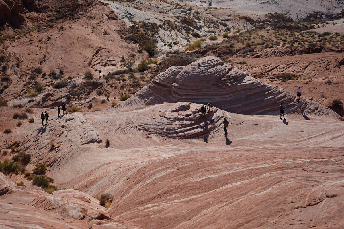
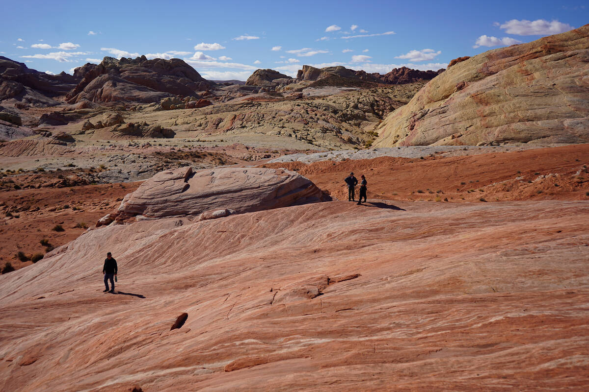
A drive or hike through Valley of Fire State Park is a trip through a scaled-down version of the prettiest canyon country photographed for Instagram. But the sandstone stripes, layered swirls and rainbow of desert pastels are about an hour away, instead of a drive of three or more hours into Utah. Valley of Fire rocks with beauty, and that’s easily appreciated on the Fire Wave Trail.
To reach the Fire Wave, drivers need to pay a $10 reduced entrance fee (for Nevada residents only) and proceed to White Domes Road. That scenic drive leads to a Fire Wave parking area just before the end of the road. Once parked, hikers will see trail signs and follow the crowd to what starts out as a flat, sandy path before descending onto whimsical hills of sandstone that swirl in whites, reds, peaches and pinks.
For visitors used to navigating changing trail surfaces and traversing slickrock, Fire Wave is an easy trail. For those unaccustomed to such conditions, it’s a moderately challenging, 1.5-mile round-trip hike to be taken slowly. The payoff for everyone is seeing stunning sandstone colors and patterns up close and far away. Typically, hikers choose individual spots to plop down, take in the vistas and snap a few pictures.
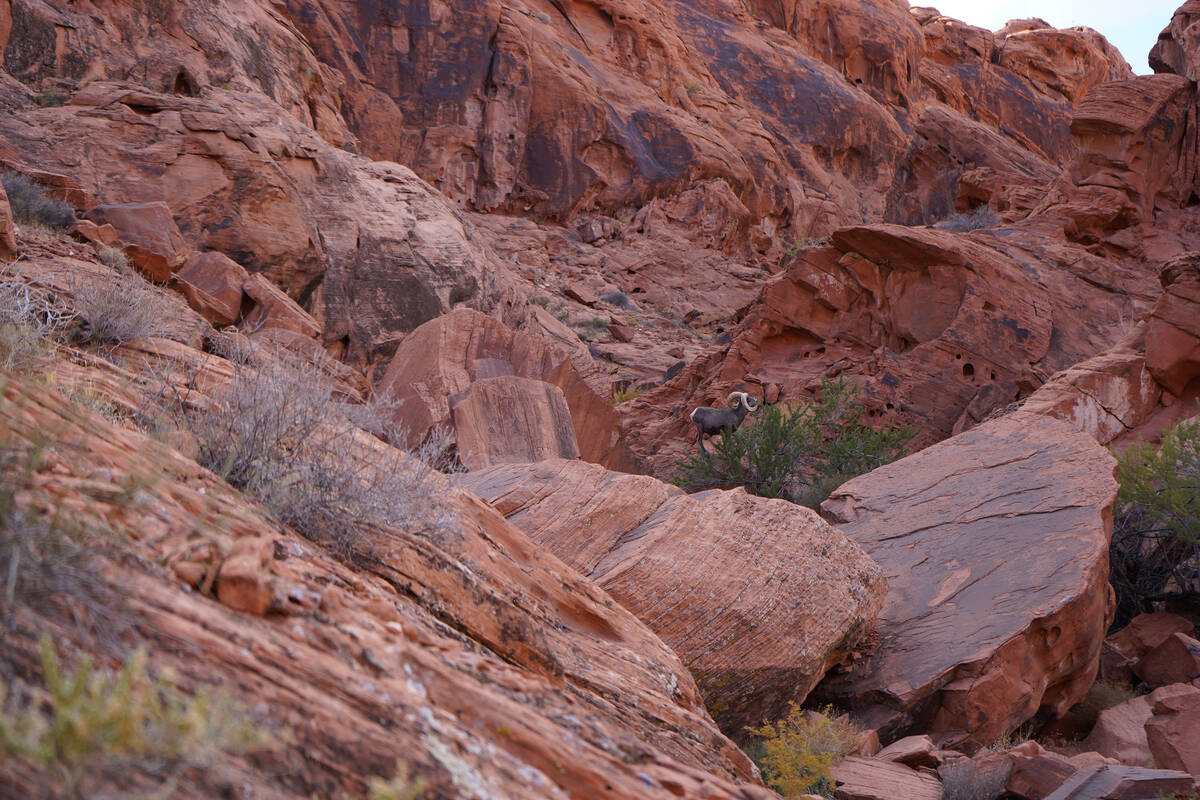
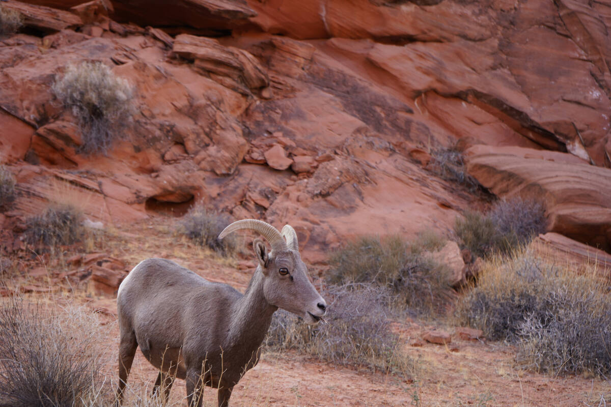
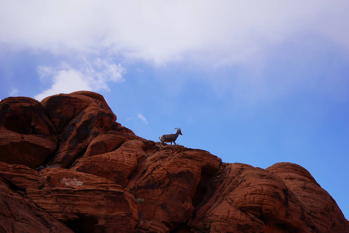
In addition to Fire Wave’s geologic wonder, there are petroglyphs to be seen at Valley of Fire, other trails to be hiked and bighorn sheep to be seen (hopefully). Those large mammals are frequently spotted grazing along White Domes Road, perching at the top of Aztec sandstone hills or foraging in a herd near picnic spots or trails. The popular park’s quieter hours are in the early mornings and late afternoons. Patience may be required in the coming weeks as traffic delays may occur while construction continues on a new visitor center slated to open this fall.
South Oak Creek Trail (outside Red Rock fee area)
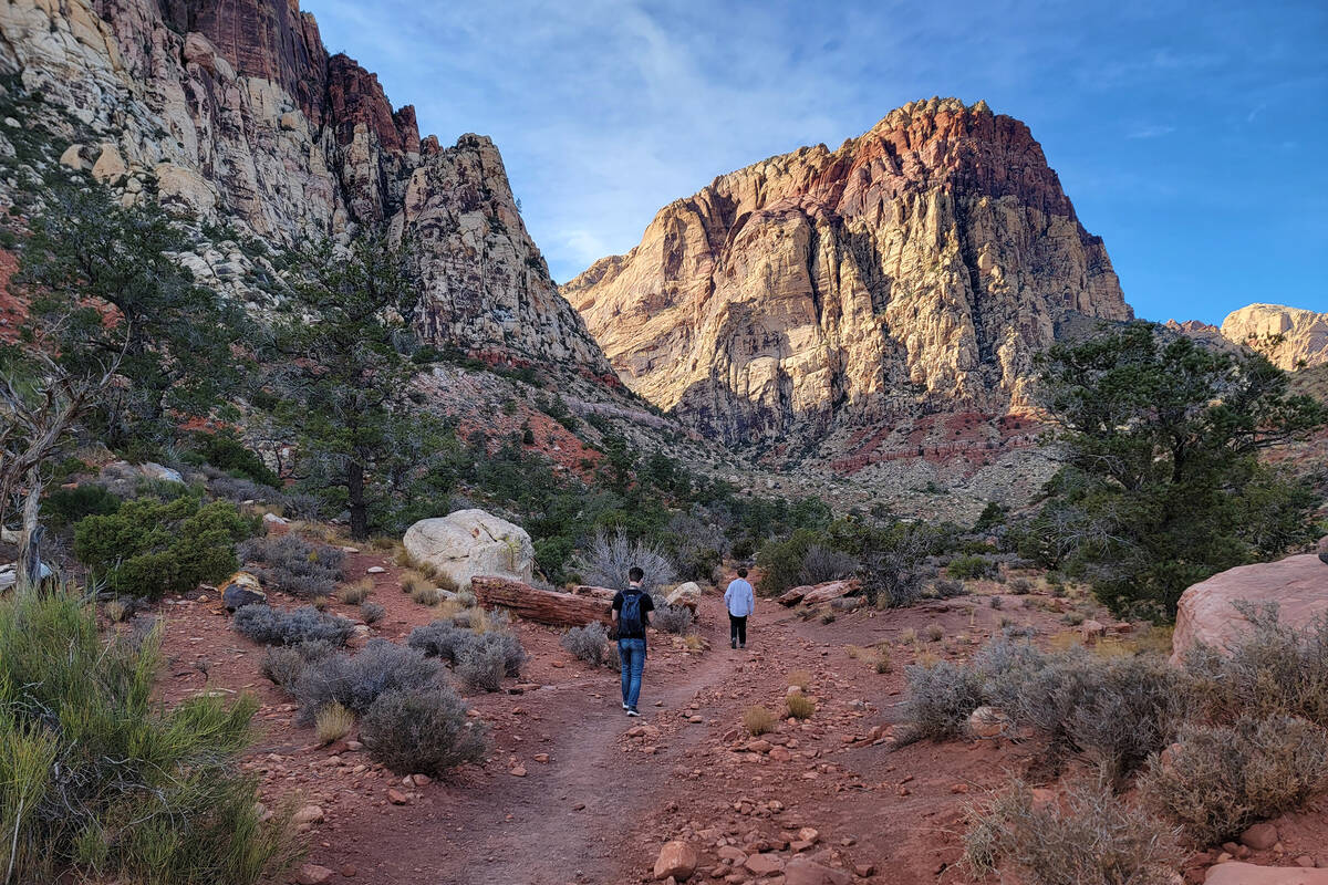
Trails lead into canyons accessible from outside the 13-mile Red Rock scenic drive, for those wishing to avoid booking a reservation or committing to extra driving time. One of those paths is the moderately challenging, 2.4-mile South Oak Creek Trail (4.8-mile round trip). A sign along state Route 159 south of the Red Rock Canyon National Conservation Area’s fee station points to the South Oak Creek dirt parking area and path.
Much of the hike is through open desert, past a few handsome Joshua trees and plenty of blackbrush and buckhorn cholla. Hikers following South Oak Creek Trail are privy to constant views of towering Mount Wilson and the red and beige sandstone cliffs of the Rainbow Mountain Wilderness Area. Closer to the base of those cliffs, the vegetation thickens with pinyon pines and junipers.
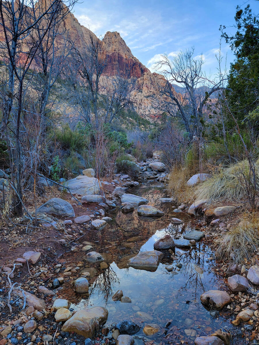
The trail loops around Potato Knoll and leads to clearings along the trail where Oak Creek’s waters pool and create reflections of winter landscapes. By early afternoons in winter, the section of the trail at the base of Potato Knoll already is in shadow and significantly cooler than the open areas still getting sunshine.
On the return through open desert and as parked cars come back into view at the trailhead, your legs might tell you that you’ve gotten plenty of exercise for the day.
SMYC Trail (within Red Rock fee area)
Hiking on this trail requires advance planning and payment through the reservation system at recreation.gov. SMYC Trail can be accessed from Lost Creek or Ice Box Canyon parking lots along the 13-mile Red Rock scenic drive. The trail, which follows the terrain at the base of Red Rock’s colorful escarpment, connects both points. The path’s name acknowledges the trail work done by Spring Mountain Youth Camp, a long-term correctional facility for young men.
Morning hikes are better in winter for this trail because of its close proximity to the shadow-casting red and beige cliffs that rise high in the west and help make Red Rock so photogenic. More shade and water sources in the area mean extra plant and animal life.
SMYC Trail gives hikers a new perspective, as the moderately challenging, 2-mile trail (4-mile round trip) offers what might be a bighorn sheep’s view of the desert floor and flood plain below.
Black Canyon Trail, Pahranagat National Wildlife Refuge
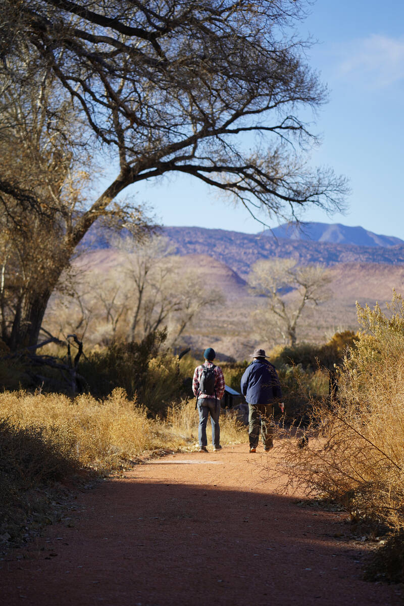
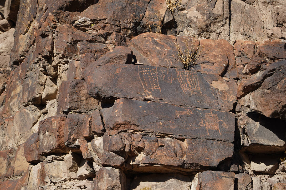
Readily viewable rock art is guaranteed along the recently opened, 1.5-mile Black Canyon Trail at Pahranagat National Wildlife Refuge, about 90 minutes north of Las Vegas. The easy trail is accessed from a parking lot across U.S. Highway 93 from the refuge’s visitor center.
Along Black Canyon Trail, a few stops provide the public with views of protected rock writing panels as well as interpretive signs sharing insights from the U.S. Fish and Wildlife Service and the Nuwuvi (Southern Paiute) tribes about the petroglyphs, including those symbolizing Pahranagat Man.
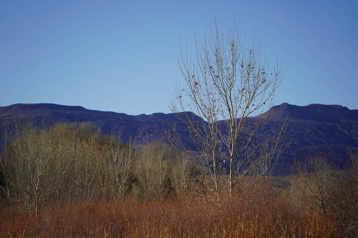
Winter on this trail and in Pahranagat Valley means deciduous trees, including old cottonwoods, have lost their leaves, and plants have gone to seed in the ancestral homeland of the Nuwuvi.
The possibility of seeing tundra swans in January on Upper Pahranagat Lake adds to the winter beauty found in Lincoln County.


