California’s Fort Piute guards tiny oasis, petroglyphs, old military post
Fort Piute, California, lies just outside Nevada’s southern tip, in the extreme eastern portion of the 1.6 million-acre Mojave National Preserve. There you’ll find not only the remains of an old military outpost, but also a tiny oasis around a perennial stream, and Native American petroglyphs.
Fort Piute was one of many stations built by the U.S. Army in the 1860s along the Mojave Road, the major travel route between Arizona and California. These manned posts were intended to ensure safe passage of the U.S. Mail and military supply wagons and general protection of travelers. All of the posts were built where there was a reliable water source, such as spring-fed Piute Creek.
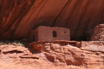
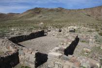
The buildings were constructed of the abundant local rocks. There were at least two buildings, one for horses and one for men. The largest structure was 60 feet long by 25 wide and included rifle ports in the thick walls and deflecting shields inside each entrance so an enemy could not fire into the interior. Most of the structure is gone now, but you can still get a pretty clear picture of how it must have looked and how it commanded the all-important watering place.
Administratively, Fort Piute was not a separate command but treated as an outpost of Fort Mojave, a few miles to the east on the Colorado River. Fort Piute was most likely occupied by no more than 18 men at any one time. It was in active use only for a few months, as the route of the Mojave Road was moved south of here.
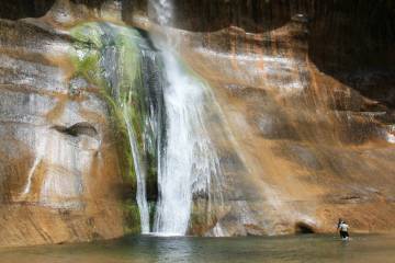
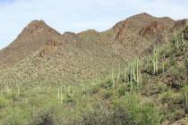
After you stroll around the ruins, be sure to explore down by Piute Creek. You’ll find cottonwood trees, willow and mesquite. With this vegetation and perennial water available, many birds call this area home, including red-tailed hawks, golden eagles and phainopeplas. The surrounding landscape supports barrel and beavertail cactus and yucca.
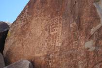
Look closely at the nearby boulders that are covered with desert varnish, and you will find petroglyphs. Long before the fort was built, this area was used by the Paiute, Mojave and Chemehuevi people.
If you go
Directions: From Las Vegas take U.S. 95/93 south for about 20 miles, then merge onto U.S. 95 south at Railroad Pass and follow for about 55 miles. Drive on past the Route 163/Laughlin turnoff and you will cross over into California. Drive 6.5 miles from the border (to mile marker 75) and go right onto a gravel road. Follow this for 7.1 miles and go right onto the power-line road. Drive 1.3 miles and go left onto a gravel spur road and follow for about 1.7 miles to a parking area.
Rough road: You will need a four-wheel-drive vehicle, or at the very least, a high-clearance vehicle with good off- road tires. Besides a rough gravel road, you may encounter deep sand. All access roads are subject to flash flooding, so postpone this trip if rain threatens.
What to pack: The fort is located at an elevation of 2,773 feet, so temperatures will be only a little cooler than in Las Vegas.
Length of stay: Day trip.


