Capitol Reef’s beauty, orchards beckon visitors and hikers
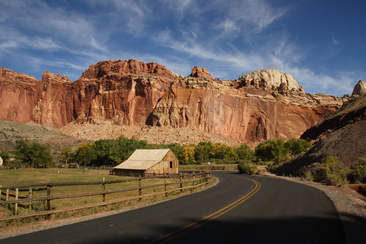
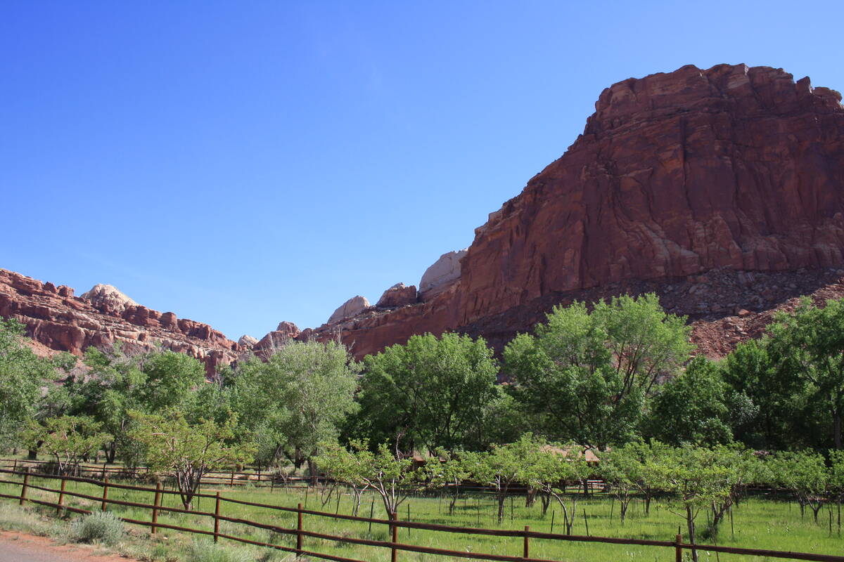
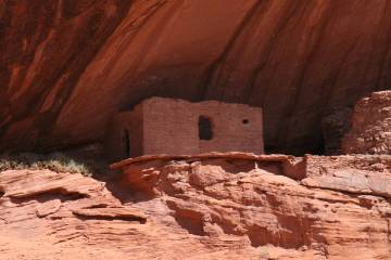
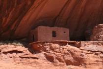
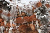
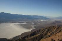
Capitol Reef National Park in Utah boasts some of the finest rock formations and geologic wonders in the West, including the Waterpocket Fold, a wrinkle in the Earth that extends 100 miles.
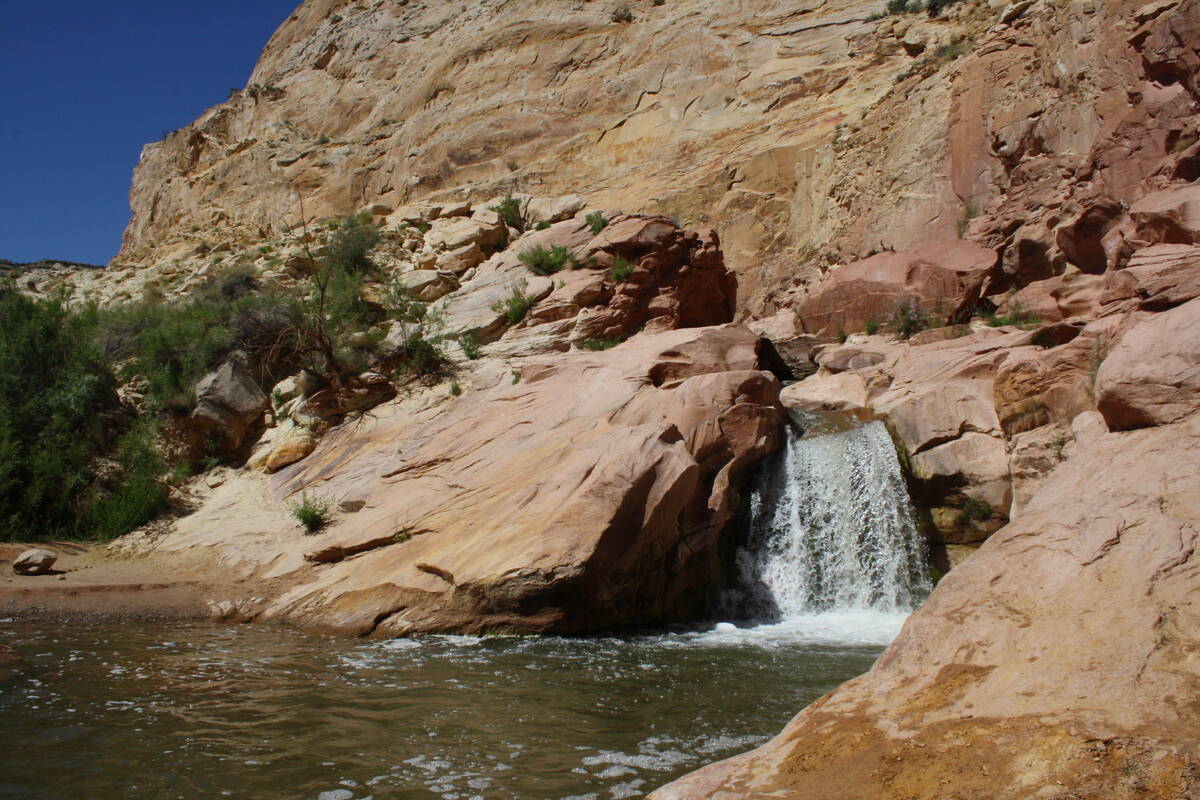
It is also one of the top choices for visitors to hike. Its 150 miles of trails take in slot canyons, natural arches and bridges, waterfalls and petroglyphs. The park also includes the largest fruit orchards in the National Park system, and many visitors prefer to visit in spring, when the landscape calls to mind A.E. Housman’s poem:
Loveliest of trees, the cherry now
Is hung with bloom along the bough,
And stands about the woodland ride
Wearing white for Eastertide.
Elevations in the park range from 3,800 feet to 8,200 feet, but in the main area of the park, Fruita, it is about 5,500 feet. This is where you’ll find the visitor center and the jumping-off place to visit the park’s fruit orchards. All the orchards lie within a mile or so.
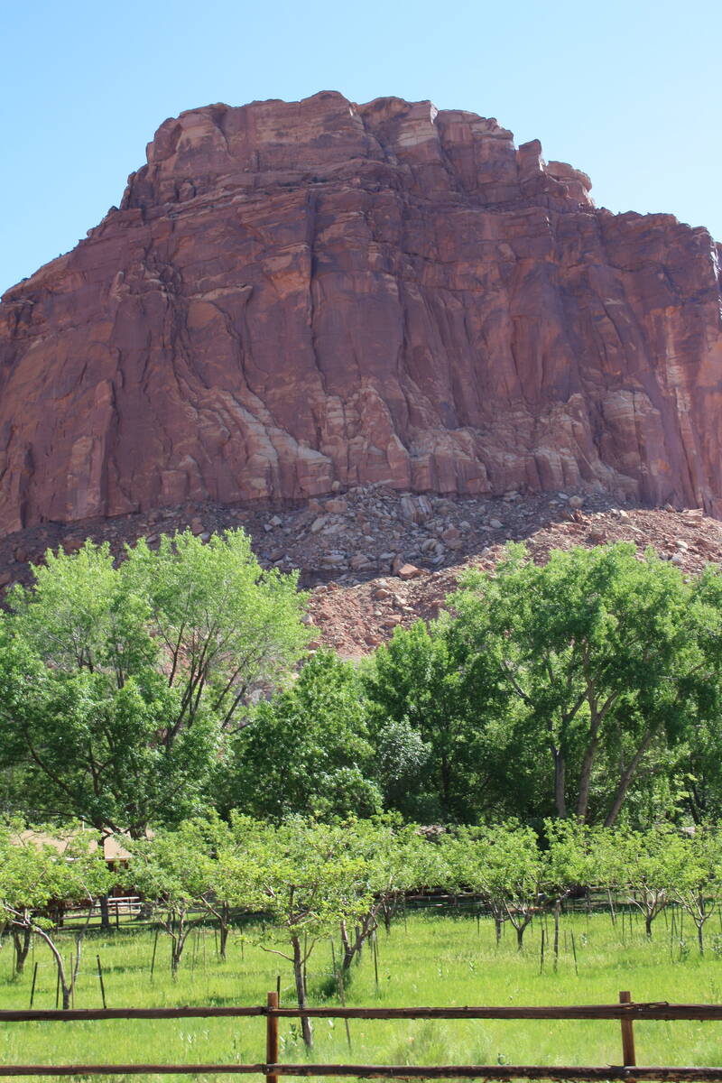
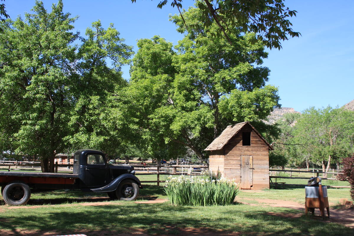
Most of the orchards were planted by Mormon pioneers who lived here from the late 1800s until the 1950s. As the Fruita Rural Landscape, the park maintains more than 1,900 trees using heritage techniques such as gravity-fed ditch irrigation used in the 1880s. Pruning, mowing, pest management, grafting and mapping are ongoing tasks.
The park was designated as a national monument in 1937 and gained national park status in 1971. Since then, the orchards have lost about 1,000 trees because of disease, age and poor soil. To maintain their original character, the park last year implemented a pilot orchard-rehabilitation project that will continue until 2025. The park also graded, aerated and fertilized 4.6 acres in its Guy Smith and Cook orchards. New trees of historically appropriate varieties are being planted this spring. Properly prepared soils will greatly improve the likelihood that young fruit trees will thrive for years to come.
There are two ideal times to visit the park’s orchards: when the trees are flowering and, of course, during the harvest. Because the trees flower and bear fruit at different times, it seems like a sort of fruit tree festival from April through September. Right now, cherry, regular apricots and peach trees are flowering, a shower of beauty typically lasting through mid-April. The show doesn’t end then: Pears and apples have started to flower now and usually do so through the first week of May.
The weather is a factor from year to year, and flowering and harvest times are approximate, as they can fluctuate a few weeks earlier or later every year. For updated information call the park’s information line at 435-425-3791 to be transferred to the fruit hotline. Press 1 for visitor information and then press 5 for the fruit hotline.
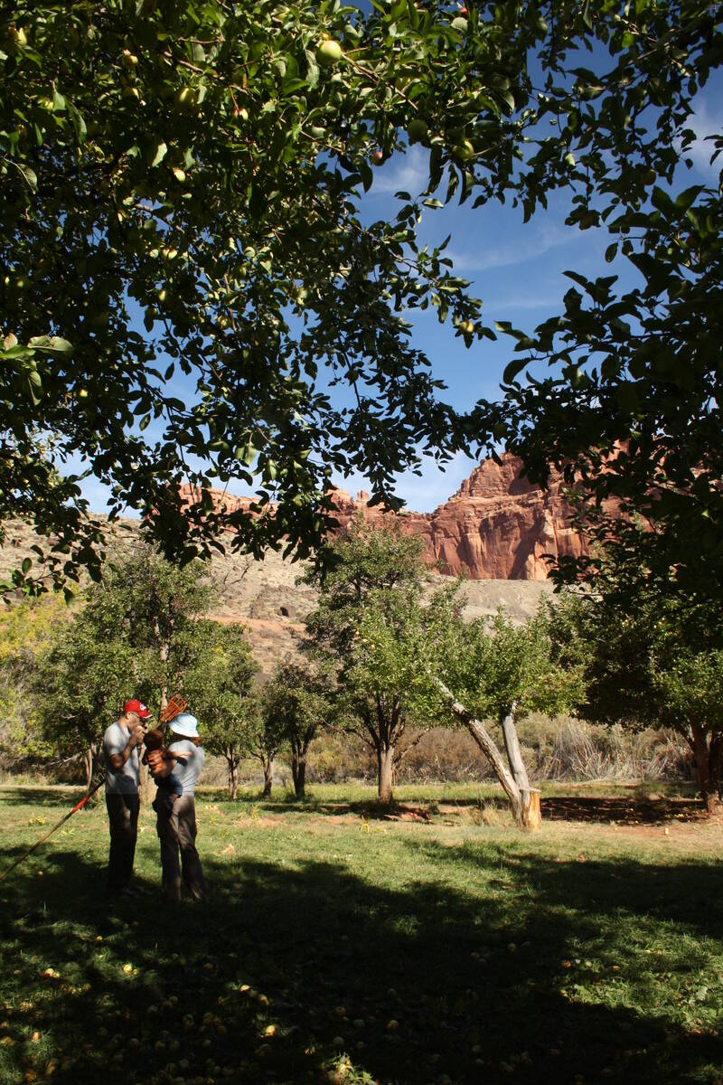
Harvest time for cherry trees is usually from mid-June through early July, apricots starting in late June through July, peaches and pears the first week of August through early September. Apples are often at their peak from early September through mid-October.
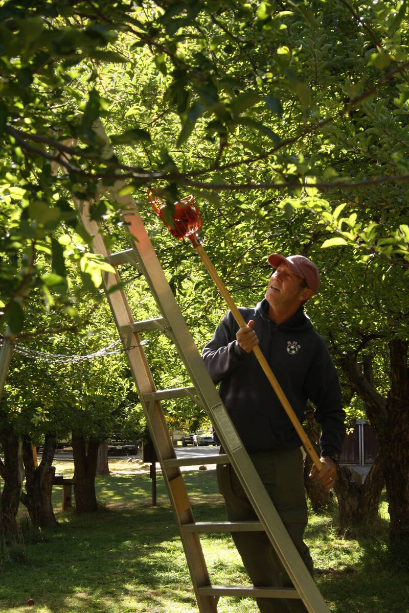
A self-pay station, scale and a sign with fruit prices are located at the entrance to each orchard that is open for picking. The park provides hand pickers and ladders to reach fruit. Download or pick up an orchard map at the visitor center or on the website (www.nps.gov/care). U-Pick Fruit signs are posted when fruit is ready to harvest in any given orchard.
Expect April daily high temperatures in the Fruita area to be about 65 degrees with lows around 39 degrees. In May daily highs average 74 degrees with lows at 48 degrees.
There is camping in the park at the Fruita Campground by reservation from March through October at www.recreation.gov. In winter, it is on a first-come, first-served basis. Alternatively, there are camping, lodging, restaurants and a market in the nearby town of Torrey.


