Deborah Wall: Kodachrome a rewarding southern Utah side trip
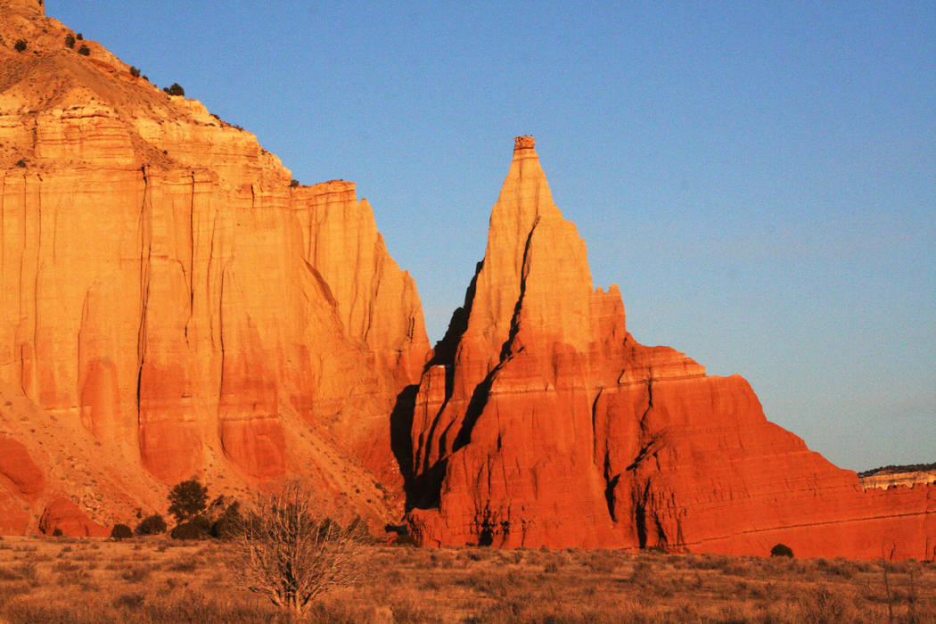
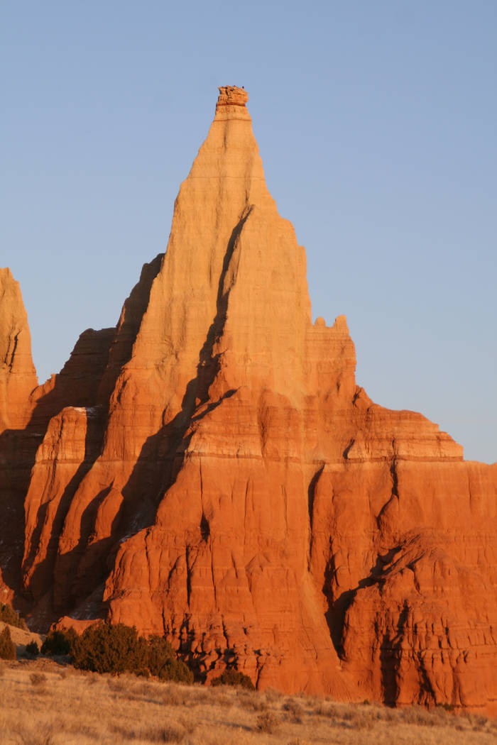
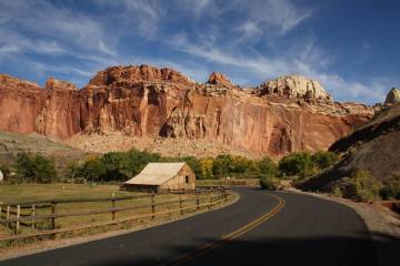
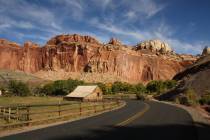
If you plan on a spring outing to Southern Utah, especially along Scenic Byway 12 to Bryce Canyon National Park or the Escalante area, an easy yet rewarding side trip is Kodachrome Basin State Park. Here you will find a glorious landscape with five official hiking trails that lead to 67 sedimentary sandpipes, a large arch and monolithic spires. The trails vary from about one-half mile to 6 miles round-trip.
The park, established in 1963, was named by the National Geographic Society on an expedition in 1948. Noting the landscape’s eye-popping color, somebody took the trouble to get permission to appropriate the name already copyrighted by Kodak Film Corp., which manufactured Kodachrome, the favorite film for color photography in those days. Being so memorable, the name stuck.
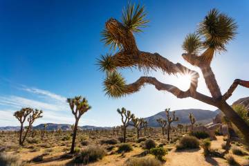
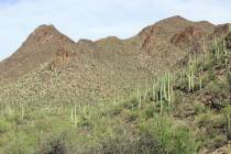
The 2,240-acre park lies at an elevation of about 5,800 feet, in a semi-desert in the upper Sonoran life zone. Vegetation includes pinyon and juniper, big sage, Mormon tea, Fremont holly and prickly pear cactus. Look for tracks of resident wildlife such as mule deer, mountain lion, white-tailed antelope squirrel and coyote along the trails.
You might want to start with the half-mile Nature Trail, where interpretive signs identify the flora, fauna and basic geology found in the park. Another great trail is the Shakespeare Arch/Sentinel Trail, a 1.7-mile loop . This features a fine arch that rises about 75 feet.
Although not technically in the park, Chimney Rock is worth the drive out on a 1.5-mile, well-maintained, gravel road. There you’ll find a 170-foot spire, tallest in the area.
There is a campground with a few dozen sites, for RVs and tents. Some may be reserved and some are first-come, first served. Flush toilets and hot showers are available. The park is open from 6 a.m.-10 p.m. year-round. Call 435-679-8562 or visit stateparks.utah.gov.
If camping isn’t your thing, there are even bunkhouses available in the park. These fill up fast, so be sure to make a reservation.
If you have time, venture about 11 miles south from Kodachrome on the main gravel road and you will see the left turn to Grosvenor Arch, well worth visiting. (Don’t travel this road if it is raining or threatening to rain.)
Grosvenor, named for a former president of the National Geographic Society, is in what is still called Grand Staircase-Escalante National Monument, despite President Donald Trump’s efforts to reduce its size. The formation is special because it is a double arch of immense size, the larger arch spanning about 100 feet. You can view the arch from the parking area, but taking the 200-yard trail is worth it, to see for yourself its marvel and speculate about how it was formed so gracefully by nature. Being paved, this trail is handicap-accessible.
Deborah Wall’s book “Base Camp Las Vegas: 101 Hikes in the Southwest” ($24.95, Imbrifex) is available on Amazon. She can be reached at deborabus@aol.com.
Directions
From Las Vegas, take I-15 north 125 miles, then Exit 16, Utah 9 (Hurricane/Zion National Park). Follow Utah 9 for about 57 miles through Zion and turn left at Mount Carmel Junction onto U.S. 89. Drive north about 43 miles and turn right onto Utah 12. Follow for 26 miles to Cannonville and go right. Go south on Cottonwood Canyon Road for about 7 miles and go left into the park.


