Leaves, creatures and history mark easy Mount Charleston trail
Golden aspen get the fall foliage glory at Mount Charleston, but autumn offers other brilliant hues and some important back-to-school lessons about Southern Nevada’s beloved recreation area.
September and October are the times to catch stunning swaths of aspen along easy and difficult trails in the Spring Mountains. The start of Upper Bristlecone Trail near the Lee Canyon ski area is on the easier side, while Trail Canyon, Cathedral Rock and the South Loop trails in Kyle Canyon make your hard-working legs pay for the colorful splendor.
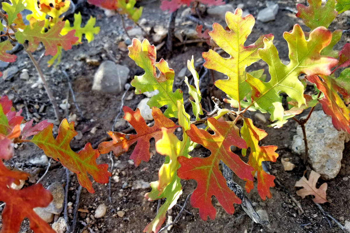
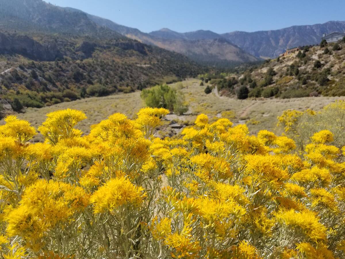
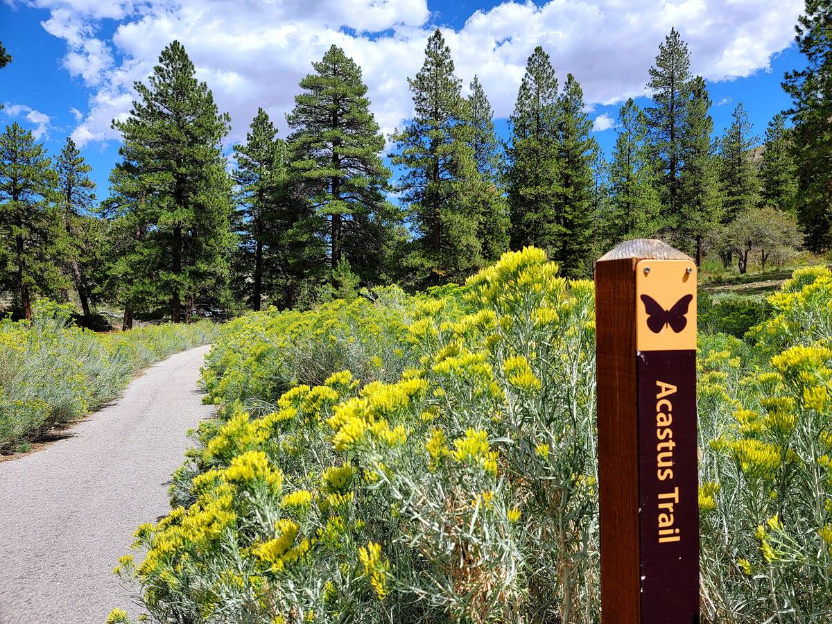
An off-the-beaten fall foliage circuit is Kyle Canyon’s Acastus Trail, where an easy 3-mile round-trip walk means the chance to spot Gambel oak leaves changing from greens to reds, golds and browns. The trail is partially lined in September with bright yellow rabbitbrush, contrasting with deep, pine greens. With its cooler temperatures, autumn is an ideal time for this typically quiet trail.
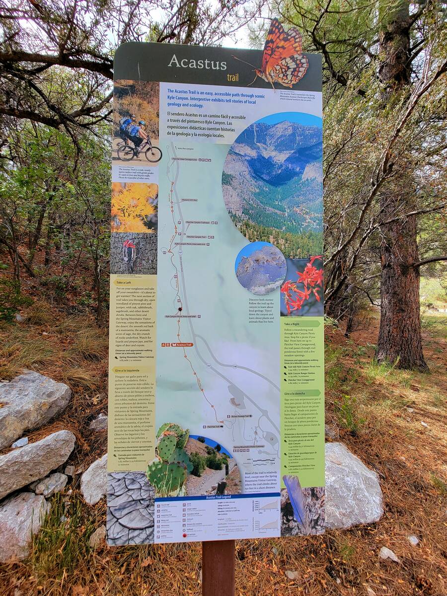
There are two access points for the short out-and-back Acastus Trail, which follows the Kyle Canyon wash and mostly parallels state Route 157. The upper access point is near the Fletcher Canyon parking lot and trail. The lower access point is found in the open area beneath the Spring Mountains Visitor Gateway. Whichever starting point you chose, the idea is to walk the trail’s 1½-mile length and then turn around to retrace your steps back to the parked car.
The trail’s name honors the Spring Mountains acastus checkerspot butterfly, an orange, black and white beauty found only in a few spots in the mountains west of Las Vegas.
A pleasant walking path through sunny desert woodlands and shady ponderosa pines, the Acastus Trail is also a self-guided field trip for those wanting to learn more about Mount Charleston’s history, Paiute connections, plants, animals and geology. Several informational panels line the trail, and benches provide resting spots along the way to enjoy the crisp, cooler fall air.
When starting the Acastus Trail from the Fletcher Canyon parking lot, walkers cross a bridge over Kyle Canyon wash and may choose to begin their adventure by finding out more about the area’s Civilian Conservation Corps and military history. Modest U.S. Forest Service buildings painted in green are up the canyon a short distance from the bridge. The buildings are off limits, but nearby informational panels with black-and-white photographs help you visualize an area once bustling with young men living in barracks that no longer stand.
This area of the Acastus Trail gives visitors a chance to recognize the contributions to Southern Nevada’s recreational landscape made by the Civilian Conservation Corps. In the 1930s, those government workers constructed Mount Charleston trails, campgrounds, roads and U.S. Forest Service buildings.
One Acastus Trail panel cites a Review-Journal article from 1942 that lists some of the CCC’s Spring Mountains accomplishments: 6 miles of two-lane highway, 4 miles of “truck trails,” 35 miles of telephone lines, seven campgrounds with 600 campsites, a ski run and ski jump in upper Kyle Canyon (remnants remain), several water systems and hiking trails that are still enjoyed today.
After the Depression-era CCC work program ended in 1942, the Mount Charleston camp became a rest and relaxation hub for military men training to become wartime pilots and gunners at the Las Vegas Army Air Corps Gunnery School.
Down-canyon from the historic Forest Service buildings, Acastus Trail walkers are soon under the shade of tall ponderosa pines and other evergreens. Mountain chickadees and nuthatches may be among the birds spotted in fall in a forested part of the path that stretches through the Kyle Canyon Picnic Area and right past occupied picnic sites.
Along the path, one sign offers visitors another reason to cherish the Spring Mountains. It points out that although they are only 30 miles from the Mojave Desert floor, visitors have gained 5,000 feet in elevation. At 7,000 feet, they have left the creosote and yuccas behind and are in a zone filled with juniper and pinyon pines and are at a boundary of another zone filled with mixed conifers. In terms of elevation gain, the sign says a visit to Mount Charleston from Las Vegas is a bit like traveling to Canada.
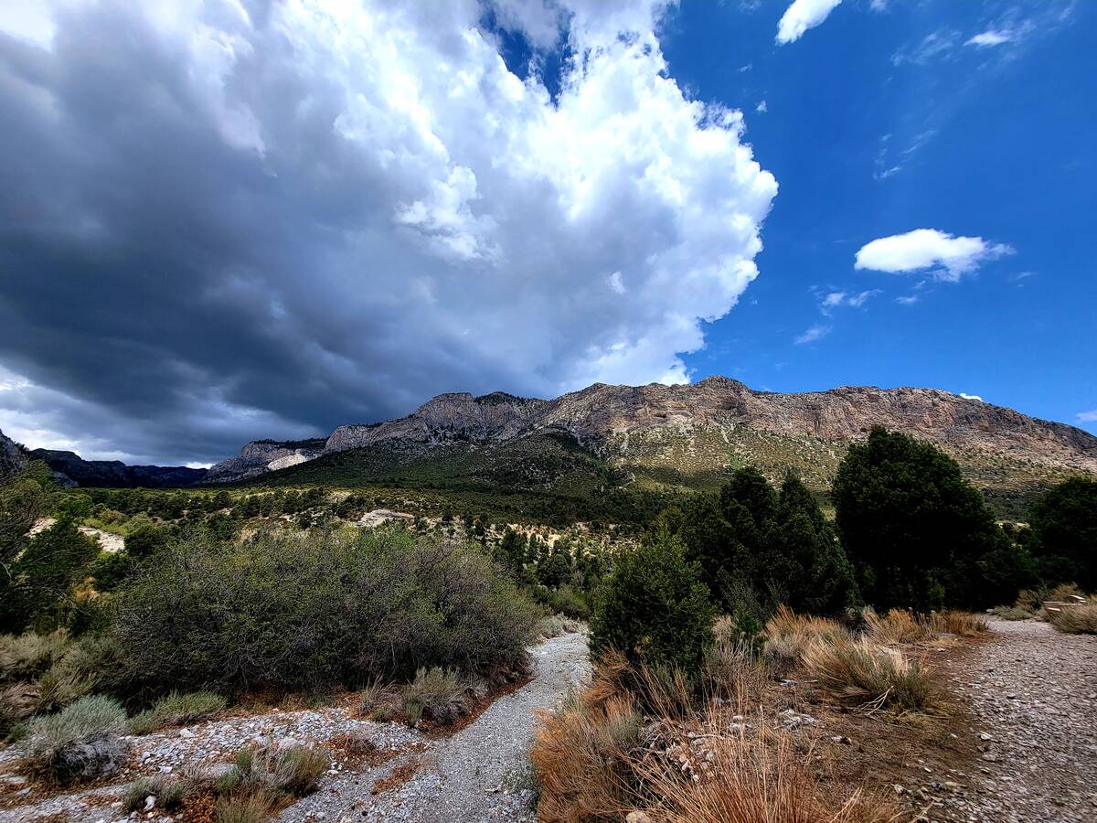
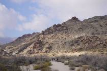
Dramatic clouds and mountain vistas are often part of the package on the Acastus Trail. Animals and people alike consider the Spring Mountains to be a hospitable spot. As a sign along the trail points out: “Like an island in the ocean, this ‘sky island’ is a refuge for thousands of mountain plants and animals — including several species that can be found nowhere else on earth.”
As the path continues descending and the vegetation changes again, signs share information about geology, animals and the Paiute Indians’ connections to the land credited with their creation. Gambel oak along this part of the path is at its prettiest during autumn, when greens turn to reds, golds and browns because temperatures drop, daylight dwindles and plants move into energy-saving mode.
The final stretch of the Acastus Trail wends through shrubs that have retaken a vast area that was briefly a nine-hole golf course in the late 1990s. It’s now public U.S. Forest Service land with a patchwork of hiking paths, including the Acastus Trail. The wild area with golf course remnants is just below the Retreat on Charleston Peak hotel and the Spring Mountains Visitor Gateway.
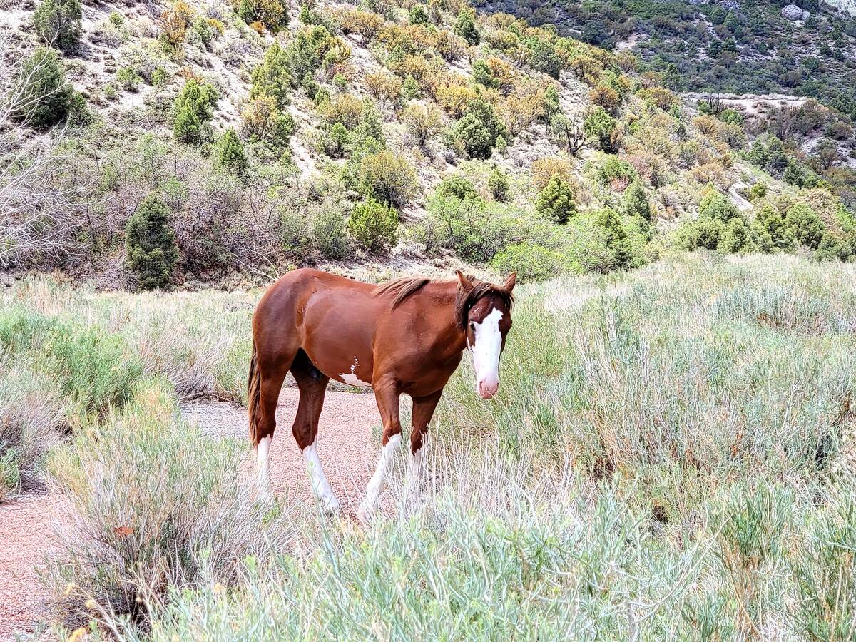
In that wide-open space brightened by the yellow blooms of rabbitbrush, scrub jays may be heard screeching and wild horses seen grazing. That’s also the spot to turn around and head back up Kyle Canyon to see what flora, fauna, geologic formations, cultural connections and historical tidbits you may have overlooked on the way down.


