‘It was pretty wild’: Mount Charleston feels Hilary’s wrath; valley spared
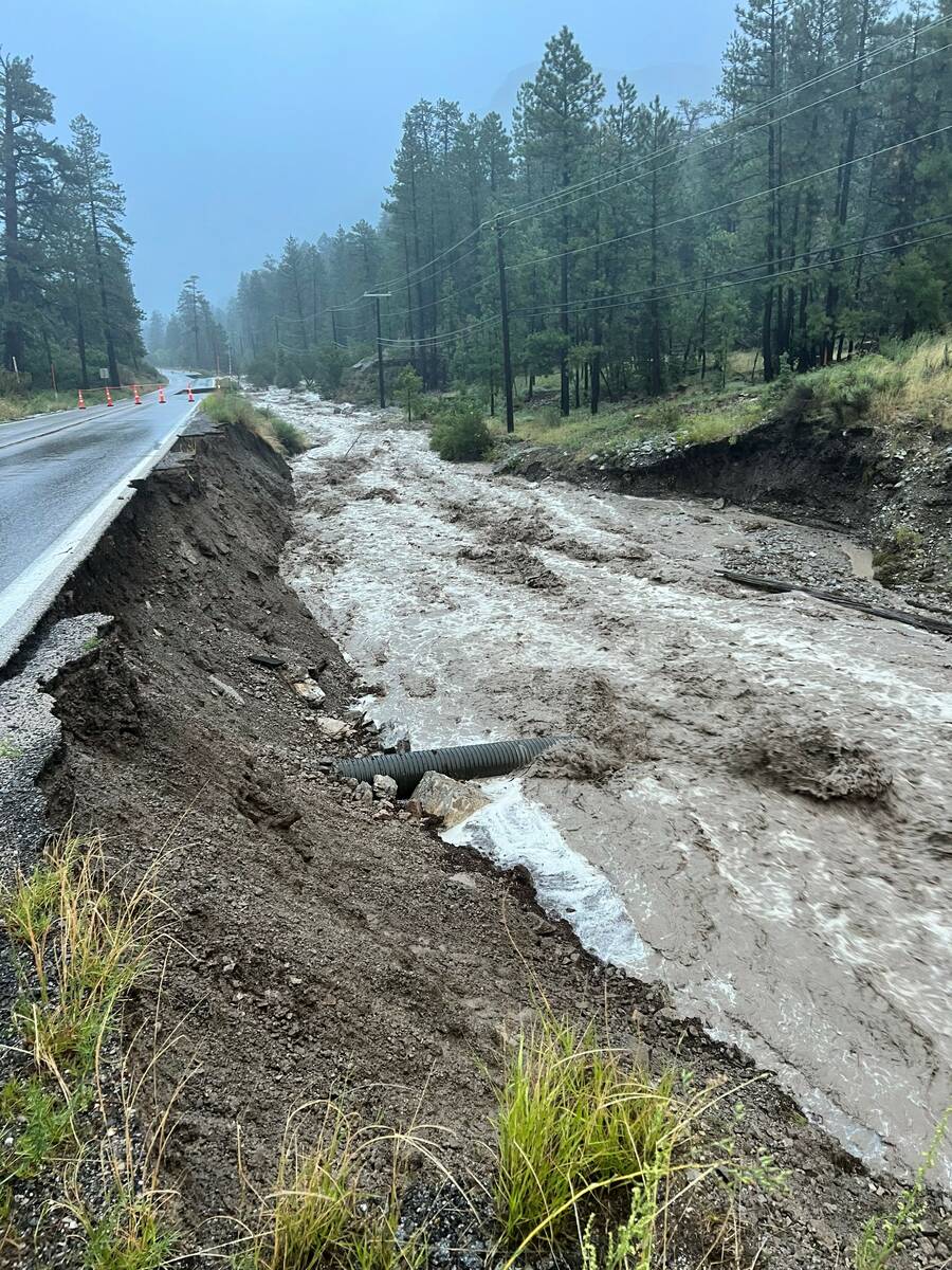
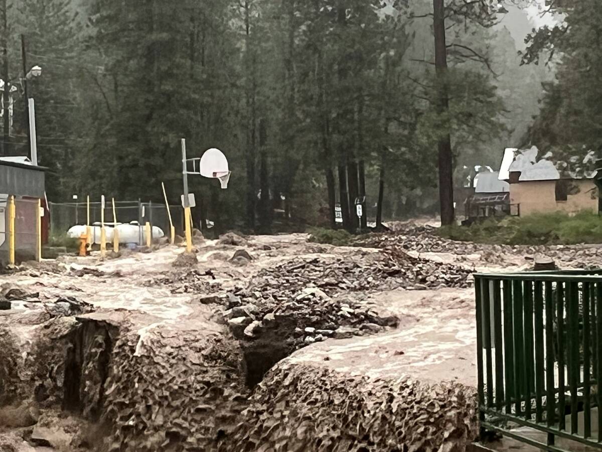
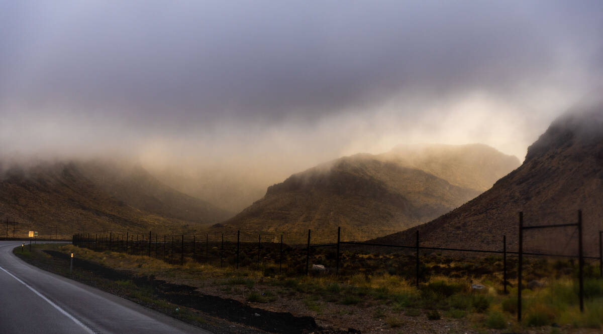


A weakened tropical storm Hilary underwhelmed the Las Vegas Valley, but about 150 Mount Charleston residents were left without power and water Monday after 8 inches of rain fell in Lee and Kyle canyons, sending raging rivers down the Spring Mountains.
“It was pretty wild,” said Cierra Koch-Azeke, 27, who along with Jeremy Sidell, 28, stayed in a rental cabin on Mount Charleston on Sunday night. They were aware of the incoming storm, even curious to see how it would play out, but didn’t realize how bad it would get.
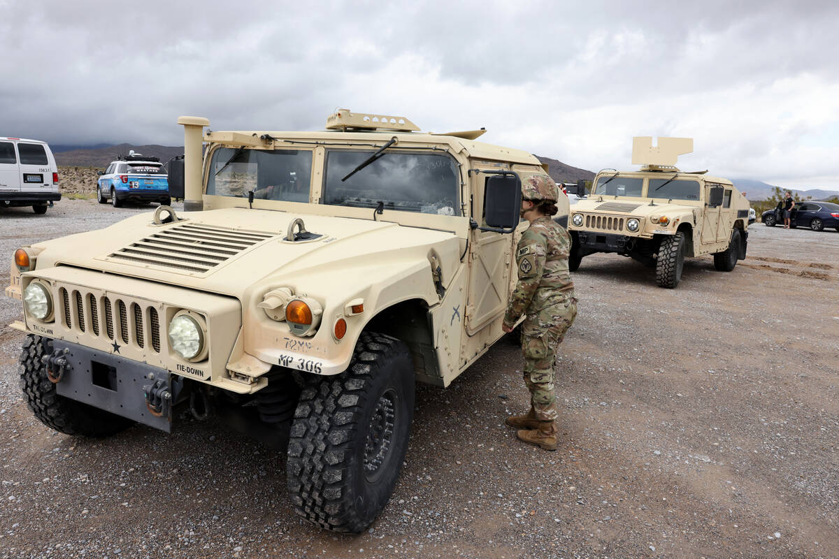
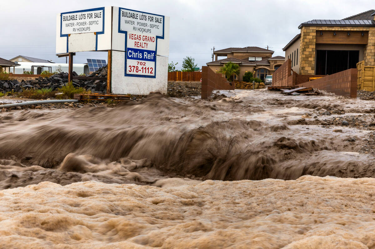
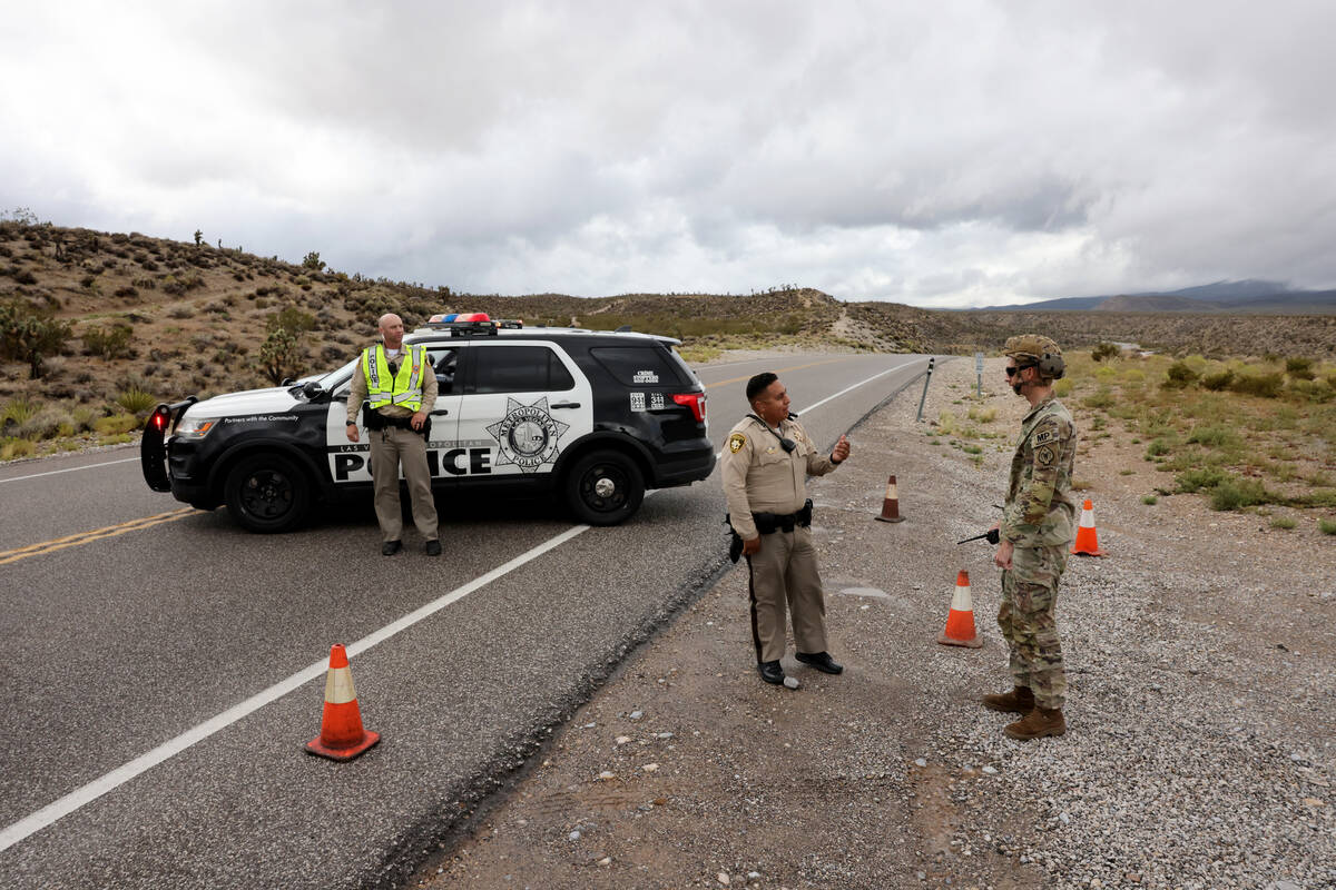
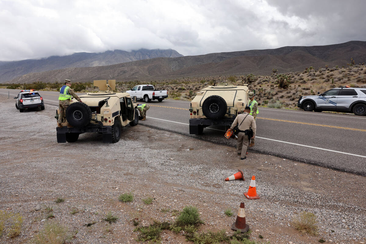
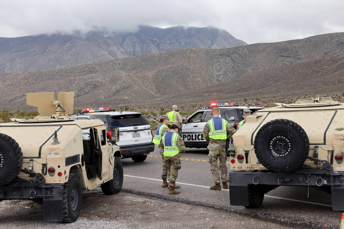
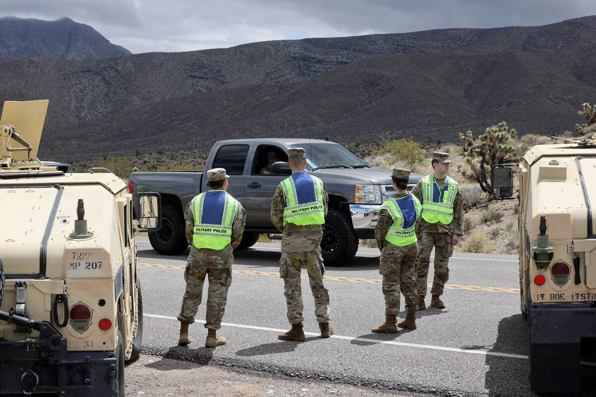
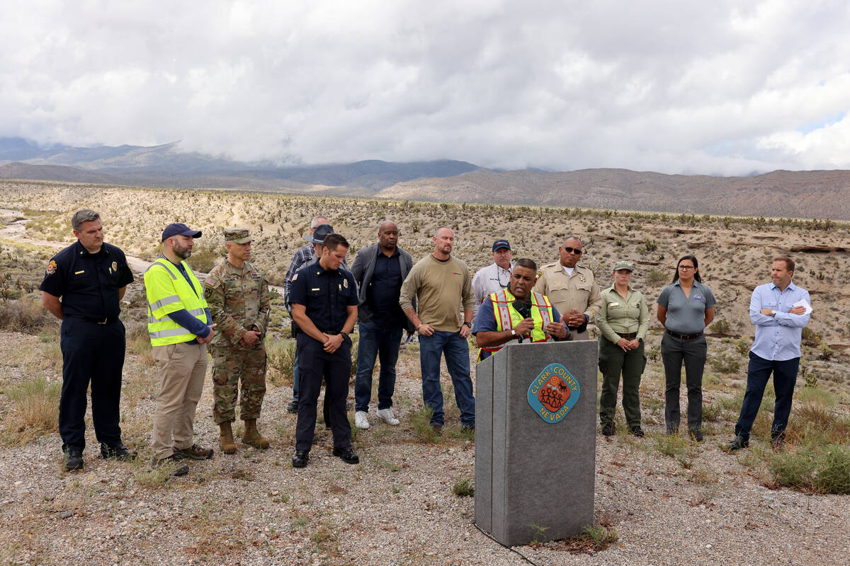
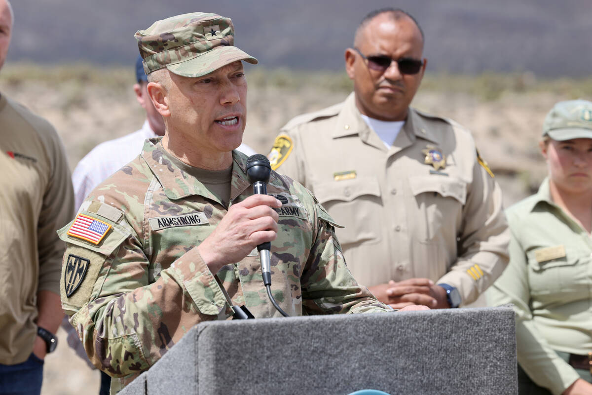
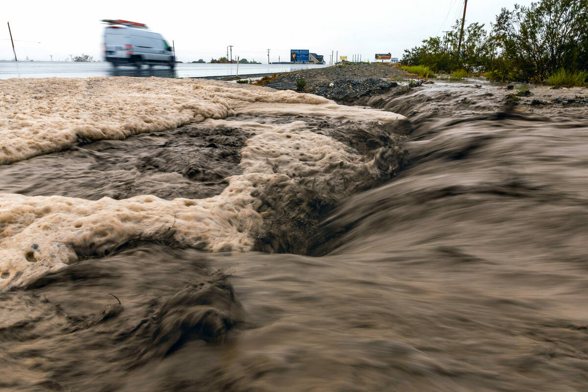
Gov. Joe Lombardo and Clark County authorities declared a state of emergency Sunday as the storm soaked roads and flooded fields across Southern Nevada, County Manager Kevin Schiller said during a news conference Monday on Kyle Canyon Road.
The state of emergency remained in place as of Monday afternoon.
‘Still in active emergency’
“We are still in an active emergency as it relates to Mount Charleston, and it is unknown at this time how long the County’s emergency declaration will stay in place,” said Jennifer Cooper, the county’s chief communications and strategy officer. “The County proactively declared the emergency so that resources could be readily available, if needed, and that has proven to be effective as it relates to the coordinated response amongst regional, state and federal partners on the mountain.”
The National Weather Service on Monday said Hilary had been downgraded to a post-tropical cyclone as the weather pattern moved northeast through Nevada and into the Rocky Mountains.
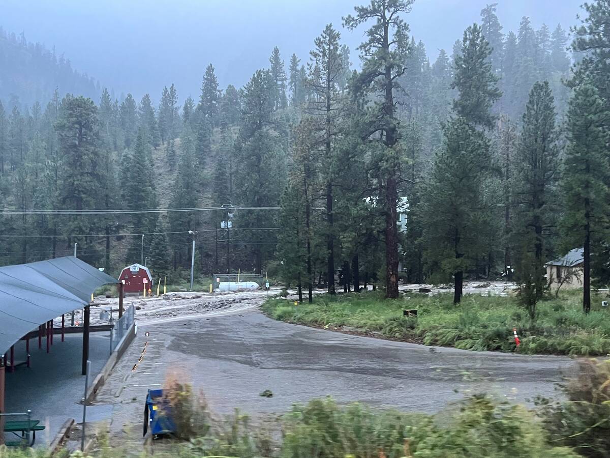
Authorities were still assessing the damage to three subdivisions of Mount Charleston: Old Town, Echo and Rainbow. The total population was tough to determine because of seasonal residents, Mt. Charleston Fire District Chief Jorge Gonzalez said.
Gonzales said there are 450 structures, but he estimated about 150 to 200 people were currently sheltering in place.
“We’re still having a hard time accessing some of the subdivisions,” Gonzalez said. “We don’t have any reports of structures or residents being impacted at this time. The major impacts have been to State Route 157.”
‘Waterfall river’
At the rental cabins, Koch-Azeke said she and Sidell looked outside Monday morning after a night of fierce winds and nonstop rain to see water gushing down the mountain like a raging river.
“It was really just looking down from the view and seeing that waterfall river going down,” Koch-Azeke said.
Koch-Azeke and Sidell had been awakened at 4 a.m. with a phone call from someone with the cabin management who told them to stay where they were because some of the roads were inaccessible. At about 11 a.m., a firefighter knocked on their cabin door and told them to pack their essentials and that they would be taken back down the mountain.
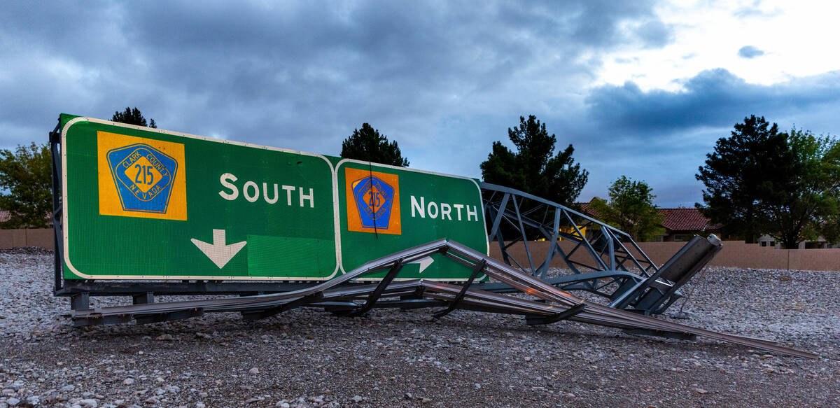
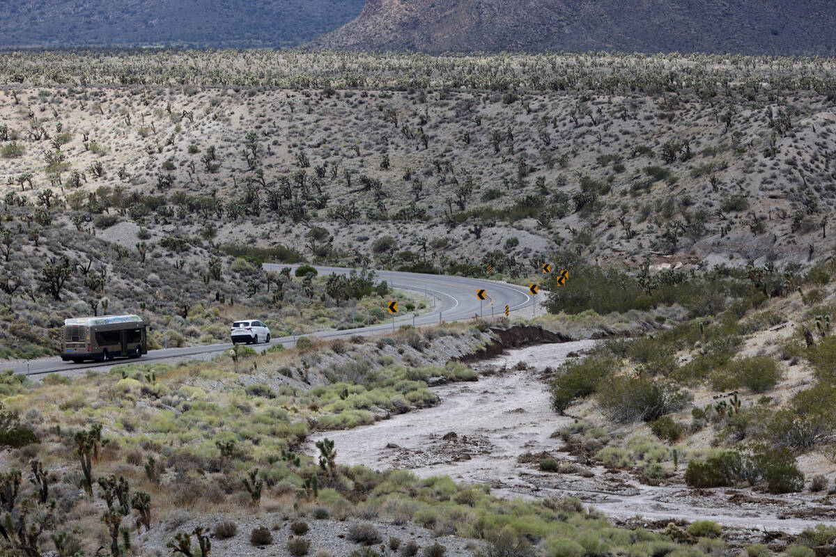
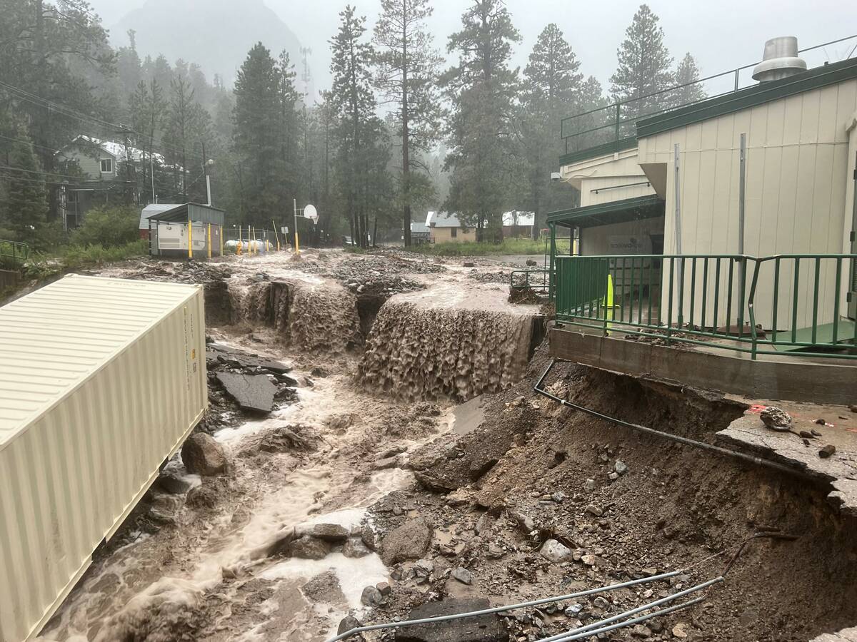
Koch-Azeke and Sidell had to leave their vehicle, which they were told they might be able to get back in between three and 10 days, and were driven down the mountain in a Las Vegas Valley Water District utility truck. Parts of Kyle Canyon Road, the main road into and out of Mount Charleston, had collapsed.
“Half the road was just sliding down the mountain,” Koch-Azeke said.
Koch-Azeke said the first responders who helped them and others were “absolutely amazing.”
“They were there every step of the way,” Koch-Azeke said.
Nevada Department of Transportation spokesperson Justin Hopkins said 200 feet of NV-157, also known as Kyle Canyon Road, experienced “extensive damage” from the storm. Authorities were working to create a temporary lane.
“This was something that was unforeseen and something that took over more than we would have expected,” Hopkins said.
U.S. Forest Service spokesperson Taylor Tims said the forest service shut down all recreation areas Friday in preparation for the storm. Officials planned to keep picnic grounds, trails and campsites closed through Friday while they evaluated damage at higher elevations.
It was “safe to assume” some trails washed away, Tims said.
Gonzalez said officials were evacuating visitors who were staying in the Mt. Charleston Lodge and Cabins and The Retreat on Charleston Peak. Rain runoff was expected to continue flooding down the mountains through the night Monday.
“The Mount Charleston residents are pretty hearty folks,” Gonzalez said. “They’ve been through avalanches, wildfires, floods in previous years. They’re prepared. Our primary issue right now is going to be the visitors.”
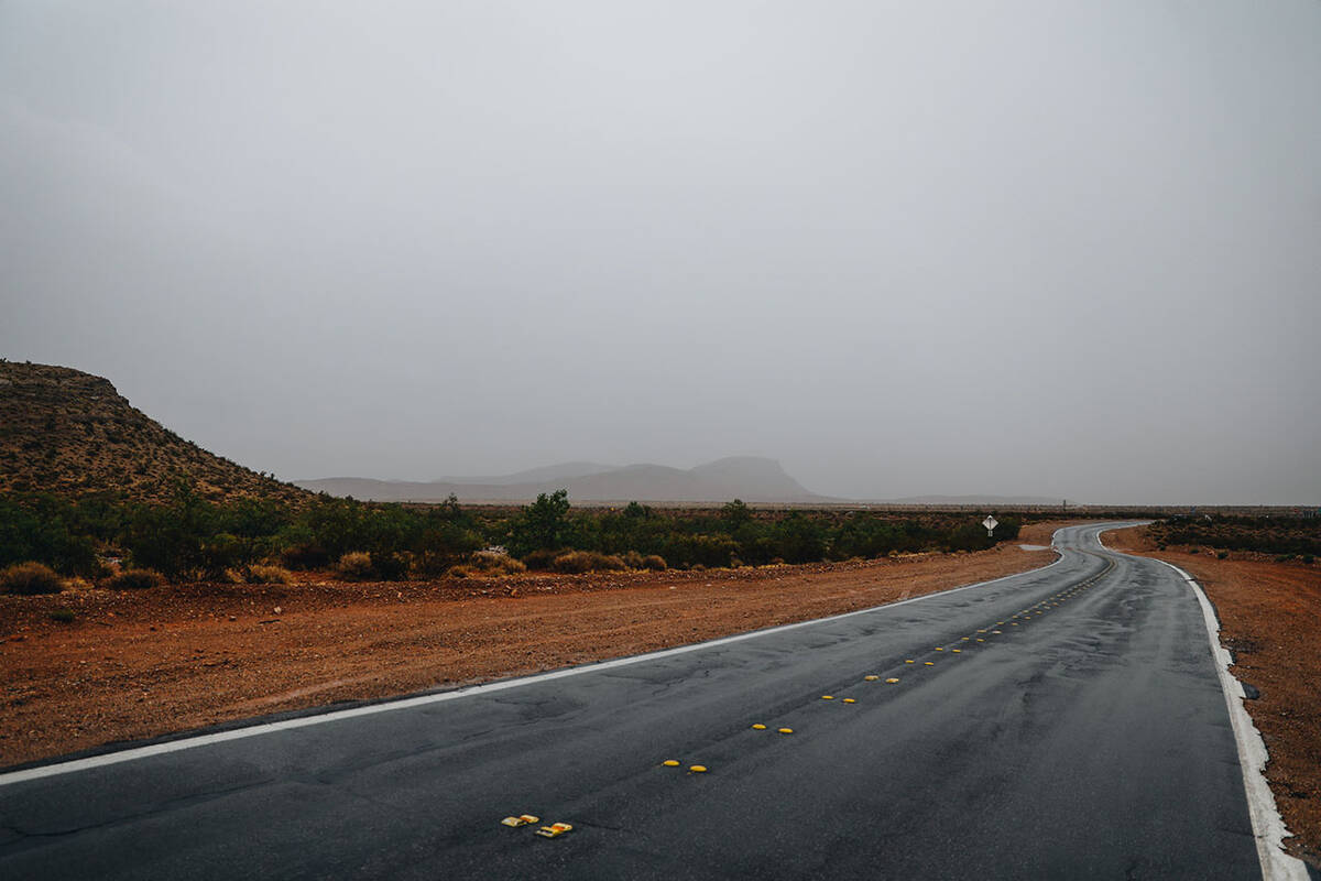
Rain to west
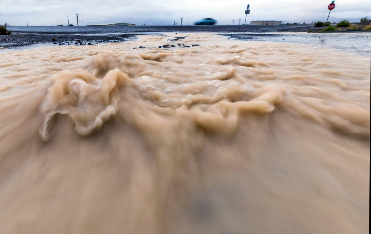
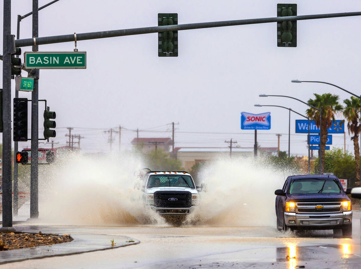
Between Friday and Sunday night, most of the valley received three-quarters to an inch-and-a-half of rain, with western Las Vegas seeing higher totals.
“If we draw a line from Durango (Drive) west, the heavier stuff in the valley, 1 to 1½ inches, are all up there,” National Weather Service Meteorologist Barry Pierce said Monday morning.
Pierce said many national parks, including Death Valley, Lake Mead and Red Rock Canyon National Conservation Area were closed ahead of the storm.
The Red Rock Visitor Center collected 3.23 inches of rain, Pierce said.
‘Dodged the bullet’
The valley remained in a flash flood warning through 5 p.m. Monday, but Pierce said most of the storm had made its way into northern Nevada and was moving northeast toward the Rocky Mountains.
Pierce said the rainfall totals, including 8 inches in Lee and Kyle canyons, were within the weather service’s predictions.
“We dodged the bullet,” Pierce said, citing damage in southern Nye County, road closures in Inyo County and damage in Death Valley.
For residents who collected sandbags, Pierce said they can keep them for future use.
“Most of the significant impact was around Amargosa Valley and Death Valley National Park,” Pierce said. “We don’t know the full extent of the damage out at Death Valley just yet.”
Death Valley on Sunday broke the record with the wettest day of the year, with 2.2 inches of rain near Furnace Creek, California, according to a post from the National Weather Service Monday afternoon.
In Las Vegas, Sunday’s high of 76 degrees broke the record for the lowest high temperature ever recorded on Aug. 20 in the valley. Pierce said temperatures remained about 15 degrees under the average Monday, and monsoons are predicted Tuesday through Thursday.
“It’s not to the significance we just went through with Hilary, but there is still thunderstorms coming,” Pierce said.
Contact Sabrina Schnur at sschnur@reviewjournal.com or 702-383-0278. Follow @sabrina_schnur on Twitter. Contact Brett Clarkson at bclarkson@reviewjournal.com. Review-Journal staff writer Taylor Avery contributed to this story.