Wet winter improves Colorado River forecast; big cuts still coming
An already wet winter in the mountains that feed the Colorado River got even better in March, providing a significant boost to the amount of water that forecasters expect to flow downstream into Lake Powell this summer.
The latest prediction from the National Weather Service’s Colorado Basin River Forecast Center shows that the river will swell to 177 percent of its average volume during the all-important April-through-July period as the snow melts and flows into the river and its tributaries.
If that holds true, this year’s inflows into Lake Powell would mark the eighth wettest on record since the reservoir was formed 60 years ago. It also would be the most water flowing into the reservoir in more than a decade.
The snowpack in the Rockies and other ranges that feed the Colorado River usually peaks around the first week of April. The snowpack for the Upper Colorado River Basin is currently 162 percent of the region’s 30-year average, according to the Bureau of Reclamation.
Those numbers were aided heavily by a March that saw far-above-average snowfall, said Cody Moser, a hydrologist with the forecast center. The latest forecast shows 11.3 million acre-feet will flow into Lake Powell this summer, which is 3.3 million acre-feet more than the Salt Lake City-based forecast center predicted at the start of March.
“As we’ve seen above-average precipitation over the winter above Lake Powell, the forecast has trended up,” Moser said Friday. “The very wet March led to substantial increase in the water supply outlook at Lake Powell.”
The outlook, which has only improved since the start of winter, has been encouraging to water managers. But it won’t be nearly enough to undo more than two decades of drought that has brought the Colorado River’s two main reservoirs to historic low levels.
Federal water managers said this week that the better-than-expected winter has not altered their plan to enact emergency cuts of up to 25 percent along the river starting this year — measures they say are needed to keep Lake Mead and Lake Powell from falling to points that would threaten the abilities of their respective dams to deliver water and generate hydropower.
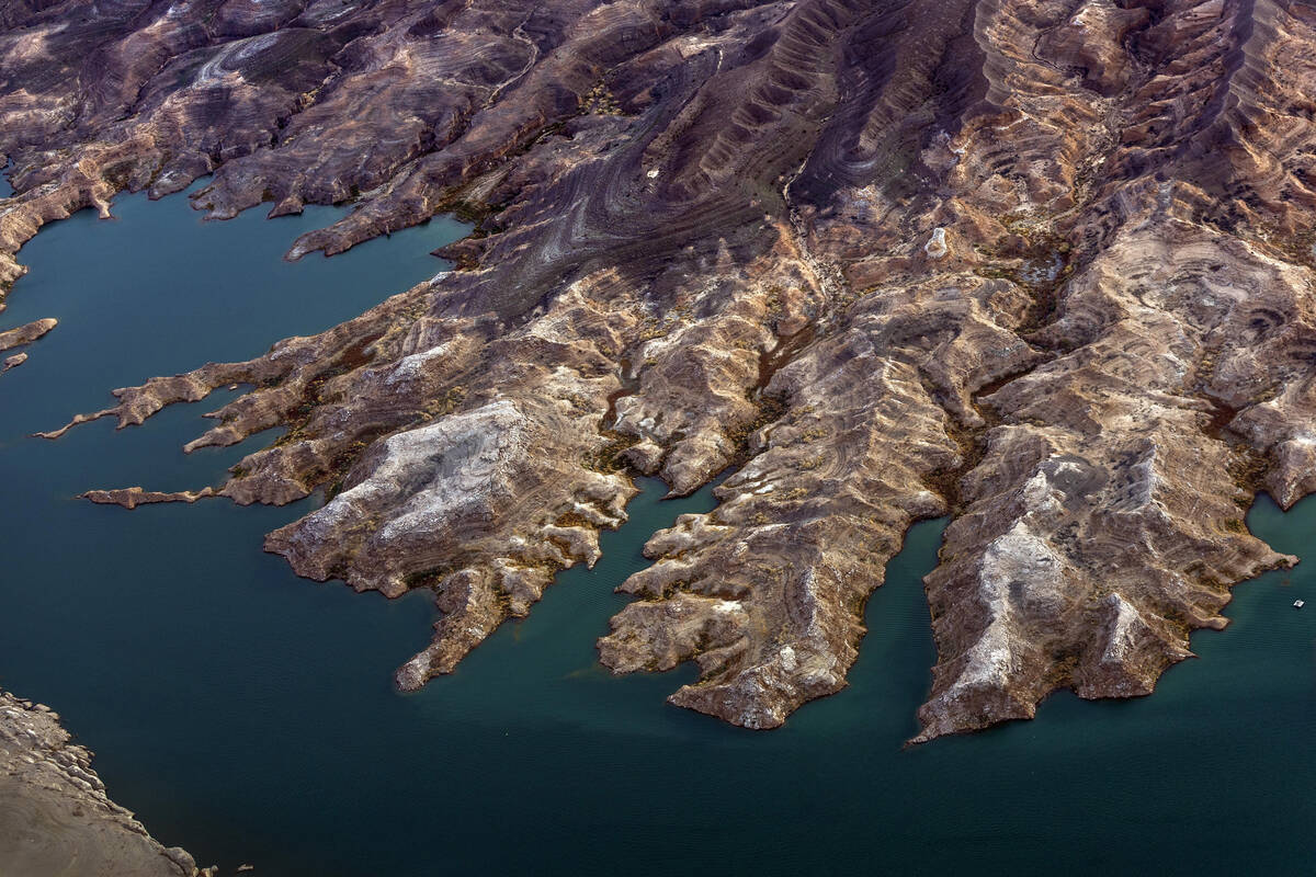
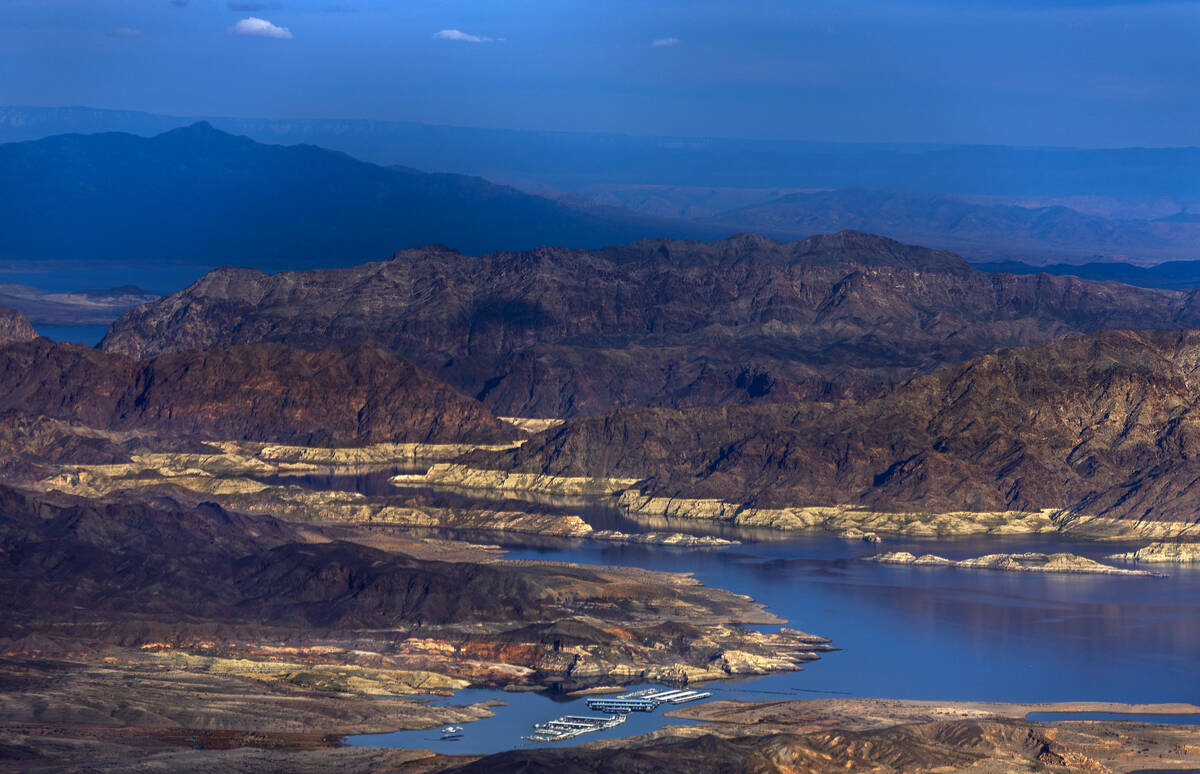
Lake Mead’s water level has fallen nearly 50 feet since the start of 2020 and the reservoir currently sits at just over a quarter full. Even with a fuller Colorado River this year, Lake Mead is projected to fall another 27 feet to 1,018 feet in elevation by the end of 2024, according to projections from the Bureau of Reclamation.
At 950 feet elevation, Hoover Dam would begin to lose its ability to generate hydropower. Below 895 feet, Lake Mead would reach “dead pool,” meaning water would not be able to flow downstream from the dam.
“It’s good to get rain and snow. It’ll be great if as much of that runoff makes it into the system as we hope, but nobody’s off the hook. We are definitely not out of the woods,” Deputy Interior Secretary Tommy Beaudreau said during a news conference Wednesday.
The Bureau of Reclamation last summer called on states to come up with a plan to cut 2 million to 4 million acre-feet of water use along the river to prevent the system from crashing.
The states have been negotiating over how those cuts should be divvied up, and in January submitted competing proposals to Reclamation, with California on one side and the other six states that pull from the river on the other.
Reclamation is expected to unveil a draft of its plan for how those reductions should be handled next week, with a final decision coming sometime this summer.
Contact Colton Lochhead at clochhead@reviewjournal.com. Follow @ColtonLochhead on Twitter.


