Las Vegas uses artificial intelligence to reduce I-15 crashes
A partnership between area public safety agencies and a startup technology firm has led to increased safety on a stretch of Las Vegas’ busiest roadway.
The yearlong crash prevention pilot program between Waycare, a provider of artificial intelligence-based mobility products and services for smart cities, the Regional Transportation Commission of Southern Nevada, the Nevada Department of Transportation and the Nevada Highway Patrol resulted in a 17 percent reduction of crashes along a stretch of Interstate 15, the RTC announced Monday.
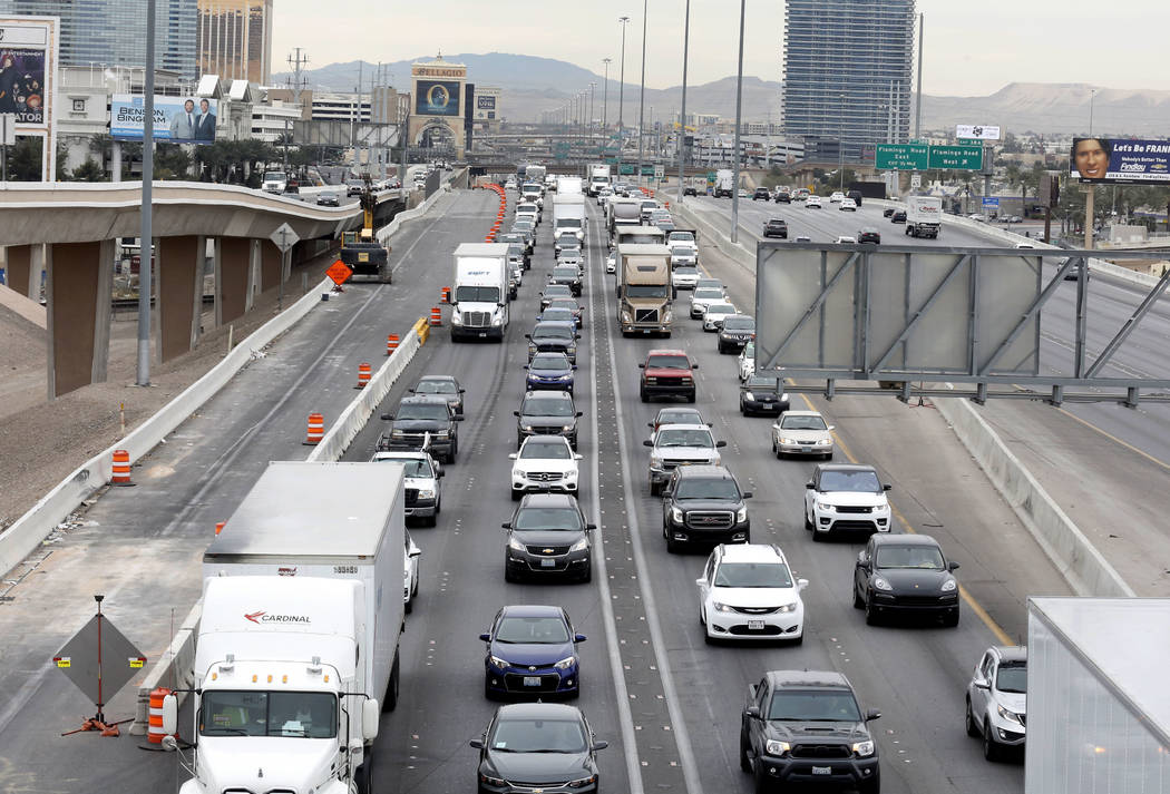
A portion of I-15 northbound between Charleston Boulevard and Russell Road was included in the program’s results. As resources become available, officials plan to use the program in other areas of the Las Vegas Valley, including a stretch of U.S. Highway 95 between I-15 and the Rainbow Boulevard curve.
The results came without any additional resources from state or local agencies. Waycare said the program utilizes in-vehicle information, existing cameras, sensors and other traffic-related data to develop predictive analytics designed to reduce traffic fatalities and crash-related congestion.
“Groundbreaking partnerships like this enable Southern Nevada to continue to lead the way in leveraging advanced technologies to dramatically improve traffic safety and efficiency,” RTC general manager Tina Quigley said in a statement. “These latest statistics coupled with the fact that we are identifying accidents up to 12 minutes faster with the Waycare platform helps translate what public and private partnerships can do and that AI is working to modernize and create a better transportation system for all.”
Las Vegas was the first U.S. city that Waycare teamed up with on a pilot program. The Israeli startup already carried out a similar program in Tel Aviv, and it started a crash prevention program in Tampa, Florida, last year.
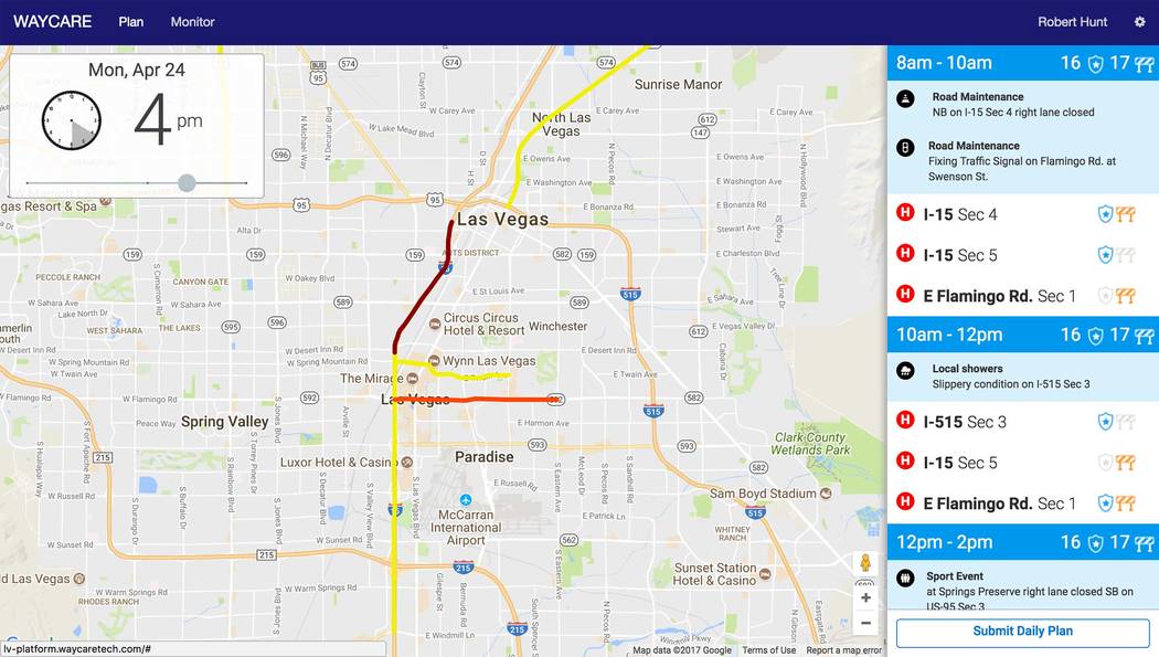
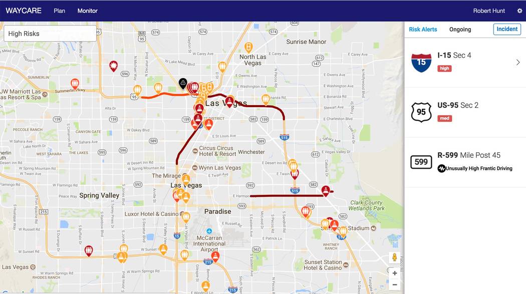
The platform uses in-vehicle information and municipal traffic data to understand road conditions in real time. When an area at high risk for an incident is identified, Waycare alerts traffic agencies when and where to take preventive action.
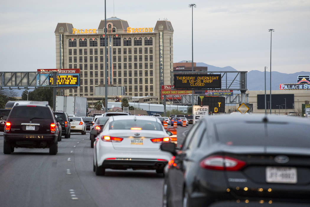
The RTC uses dynamic message boards to relay advanced warning of an incident, alerting drivers to reduce speed and drive cautiously.
The NHP then deploys its vehicles in high-visibility mode along the freeway in conjunction with NDOT, which assures that safety barriers are in place for the police officers on freeways.
During the program, 91 percent of drivers traveling at more than 65 mph slowed down to under 65 mph in areas where preventive measures were deployed, RTC said.
“The results of this pilot program are a clear signal that AI and deep learning, when deployed in collaboration with traffic management and enforcement agencies, can have a dramatic impact on improving the safety of even our busiest and most at-risk freeways,” said Noam Maital, co-founder and CEO of Waycare in a statement.
Contact Mick Akers at makers@reviewjournal.com or 702-387-2920. Follow @mickakers on Twitter.
How Waycare's crash prevention program works
1. Waycare's platform uses in-vehicle information and municipal traffic data to understand road conditions in real-time.
2. When it identifies an area at high-risk for an incident, Waycare alerts traffic agencies when and where preventative action is required.
3. The RTC uses dynamic message boards to deliver a preliminary warning, alerting drivers to reduce speed and drive cautiously.
4. The NHP proactively positions its vehicles in high-visibility mode along the freeway in conjunction with NDOT, which assures safety barriers are in place for the law enforcement officers on freeways.


