11 inches at Lee Canyon; most of valley gets under tenth an inch of rain
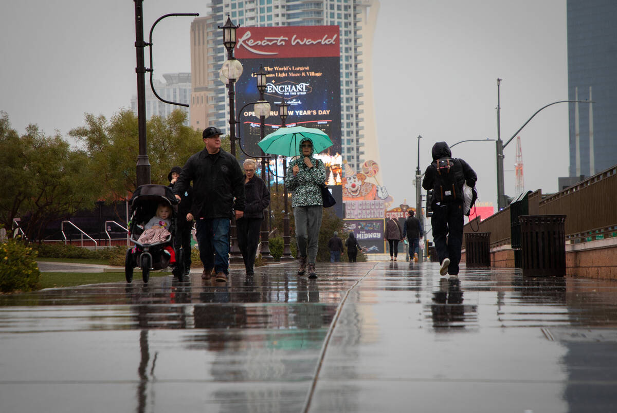
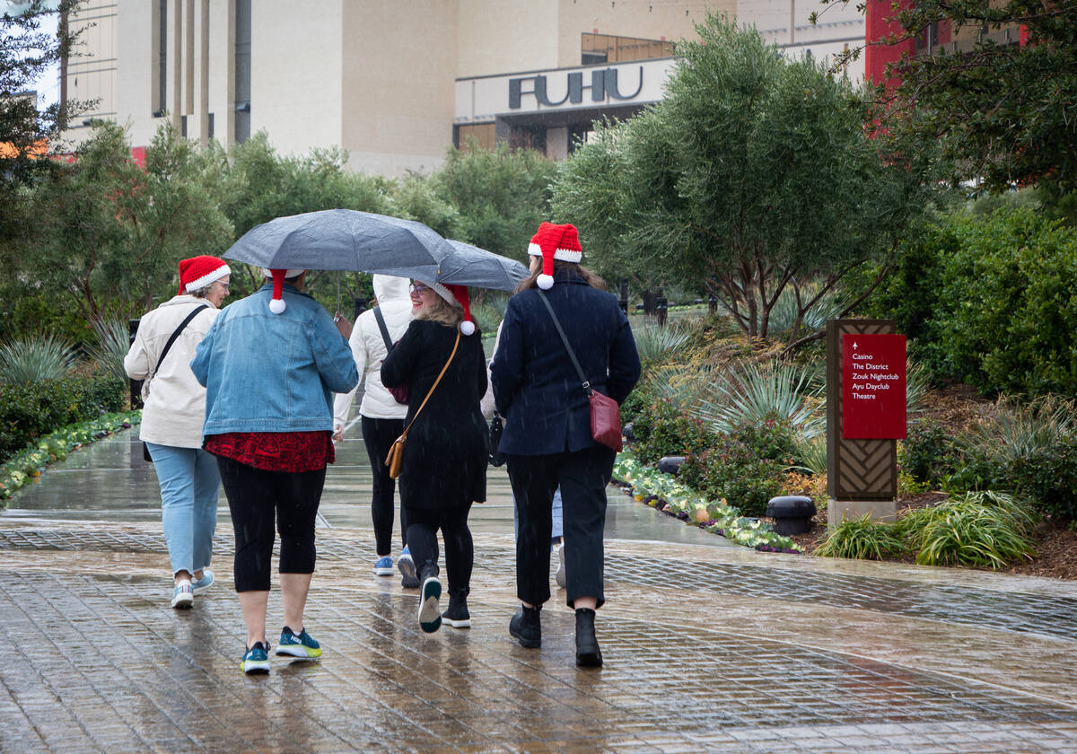


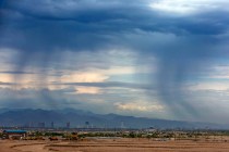
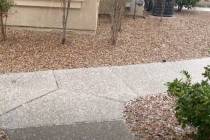
Up to .16 of an inch of rain has fallen across nearly all of the north and west sides of the Las Vegas Valley from the Sunday storm. Most rain gauges were showing .04 to .12 on an inch.
“It should stop raining by 5 or 6 p.m. at the latest,” National Weather Service meteorologist Matt Woods said. “The snow in the mountains might linger until 9 or 10.”
Lee Canyon reported 11 inches of snow.
Goodsprings received .39 of an inch of rain as of 3 p.m. while a gauge north of Goodsprings had logged .43 of an inch. Red Rock Canyon showed .28 of an inch while Mountain Pass had received .23 of an inch.
Far east Henderson and Boulder City had escaped measurable rain until around 3:30 p.m. as the storm moved east. Harry Reid International Airport had logged .05 of an inch, its first rain since getting .10 of an inch on Nov. 8.
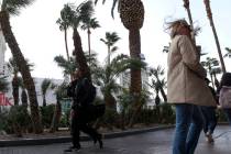
Winds have generally been 20 to 30 mph across the valley, Woods said, with Angel Peak north of Las Vegas getting a gust of 75 mph.
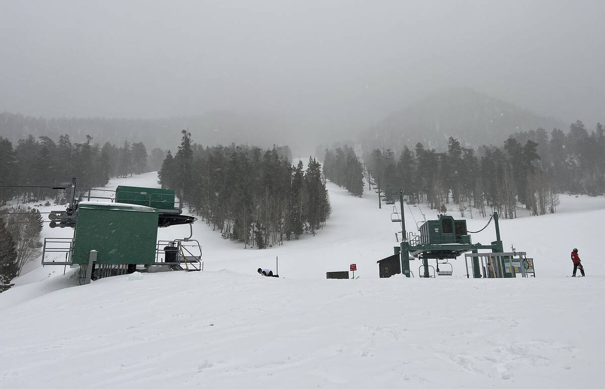
Snowfall estimates as of 3 p.m. were 3 inches on Bristlecone Trail and 3 to 4 inches at Lee Canyon.
Official snow measurements are made each morning by the Mount Charleston Fire Department. Lee Canyon will also detail its snowfall totals.
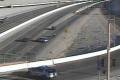
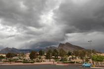
Travel was expected to be difficult in higher elevation areas around the Las Vegas Valley much of Sunday, according to the weather service.
Gusting winds to 60 mph in the mountains and 30 mph in the valley were forecast along with rain in the valley and up to 14 inches of snow in higher elevations.
A winter storm warning runs 10 p.m.
📸8:45 am Webcam Update:
The storm has arrived in the Spring Mountains. Check out the following loop from the Angel Peak webcam. 🌨️🌬️
Webcam Courtesy of @NVSeismoLab #NVwx pic.twitter.com/w6wbAaMpnh
— NWS Las Vegas (@NWSVegas) December 11, 2022
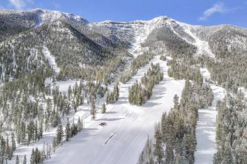
Snowfall of 8 to 14 inches between 7,000 and 9,000 feet and 14 inches or more above 9,000 feet was forecast for the Spring Mountains and Sheep Range, making it the first major snow of the season.
Central Nye County was expected to see 1 to 4 inches below 5,000 feet.
The Winter Storm Warning for the Spring Mountains &the Sheep Range has been updated to include elevations above 6,000 feet.
📍 Spring Mtns (Mt. Charleston)
❄️6-8" of snow ⬆️6,000 ft
❄️ 8-14" of snow ⬆️ 7000 ft
🌬️ SSW gusts to 60 mph
🚙 Impacts to SR-156, 157, & 158 #NVwx https://t.co/WY5L3lAGaQ— NWS Las Vegas (@NWSVegas) December 10, 2022
The weather service’s winter storm warning had advised motorists to avoid unnecessary travel, and urged putting extra food and water as well as flashlights in vehicles in case of problems.
Lincoln County was expected to receive 4 to 8 inches of snow above 5,000 feet.
Showers are a 30 percent chance on Sunday night.
Reid airport reached a high of 55 before noon on Sunday and dropped to 46 by 3:30 p.m. A Monday morning low near 35 was expected.
Temperatures will continue to drop Monday with a high near 52. Isolated showers after 10 a.m. are possible, according to the forecast.
High temperatures may stay below 50 all through the coming week.
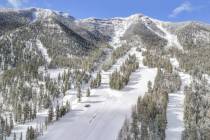
11 inches at Lee Canyon
More than 700 skiers and snowboarders enjoyed the first powder day of the season at Lee Canyon.
“Today’s storm delivered 11 inches of snow in the base area; higher elevations, like the top of the Bluebird lift, received more,” stated a Lee Canyon news release. “Tomorrow, skiers/snowboarders can expect another great day on the slopes. Before leaving the valley, Lee Canyon urges everyone to check 511 or nvroads.com for the road conditions and restrictions along Lee Canyon Road and the other roads in the Spring Mountains.”
Nevada Department of Transportation said in a tweet that chains and snow tires are required for travel on Lee Canyon and Kyle Canyon roads on Sunday until further notice.
Mount Charleston recommends visitors use four-wheel drive or all-wheel drive. Drivers without proper equipment are being turned away from the mountain, Mount Charleston officials said in a tweet.
Several feet in Sierras
A winter storm packing powerful winds, heavy rain and potentially several feet of snow in the Sierra Nevada shut down mountain highways, toppled trees and triggered flood watches and avalanche warnings on Saturday from the coast of Northern California to Lake Tahoe.
More than 250 miles of the Sierra remained under a winter storm warning at least until Sunday night or early Monday from north of Reno to south of Yosemite National Park.
As much as 4 feet of snow is expected to fall by the end of the weekend in the upper elevations around Lake Tahoe, and as much as 5 feet in more remote parts of the Sierra to the north and south.
Snowfall rates of 1 to 3 inches per hour were expected in the Sierras on Sunday, causing snow covered roads and near zero visability across mountain passes.
A 70-mile stretch of eastbound U.S. Interstate 80 was closed “due to zero visibility” from Colfax, California to the Nevada state line, transportation officials said. Chains were required on much of the rest of I-80 in the mountains from Reno toward Sacramento.
Contact Marvin Clemons at mclemons@reviewjournal.com. Follow @Marv_in_Vegas on Twitter. The Associated Press contributed to this story.
==============