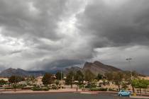
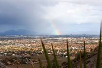
Bad travel conditions expected Sunday with winter storm warning


A winter storm warning that predicts difficult or impossible travel in the Las Vegas Valley region has been issued for 4 a.m. to 10 p.m. Sunday by the National Weather Service.
Snowfall of 8 to 14 inches between 7,000 and 9,000 feet and 14 inches above 9,000 feet is forecast for the Spring Mountains and Sheep Range.
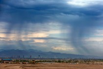
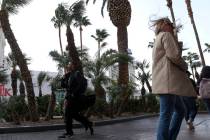
South-southwest winds could gust to 60 mph while rain is an 80 percent probability in the valley.
The winter storm warning says avoid travel unless necessary, and urges extra clothing and blankets as well as flashlights in vehicles in case of problems.
The Winter Storm Warning for the Spring Mountains &the Sheep Range has been updated to include elevations above 6,000 feet.
📍 Spring Mtns (Mt. Charleston)
❄️6-8" of snow ⬆️6,000 ft
❄️ 8-14" of snow ⬆️ 7000 ft
🌬️ SSW gusts to 60 mph
🚙 Impacts to SR-156, 157, & 158 #NVwx https://t.co/WY5L3lAGaQ— NWS Las Vegas (@NWSVegas) December 10, 2022
Lincoln County may receive 3 to 7 inches of snow above 5,000 feet.
Mostly cloudy skies are forecast Saturday with a high near 59. Winds will be 6-9 mph, says the National Weather Service.
Scattered showers are forecast for Sunday morning with a morning low near 36.
Always check road conditions and the weather forecast before you go!
🚗Road Conditions:
NV - https://t.co/84YpkHwaCW
CA - https://t.co/CQvnFylFo3
AZ - https://t.co/WsJozzdEHa🌨️Weather Forecast: https://t.co/H4ycRSpCVQ #NVwx #CAwx #AZwx https://t.co/JB0GAv1CAD
— NWS Las Vegas (@NWSVegas) December 10, 2022
“Sunday morning and early afternoon is the mostly likely time for rain and snow,” meteorologist Matt Woods said.
Showers are a 30 percent chance on Sunday night.
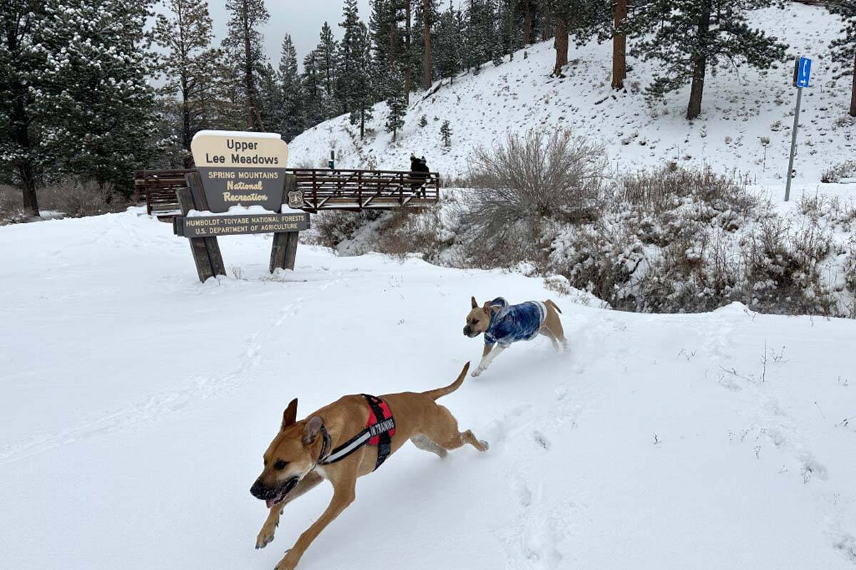
Lee Canyon
A “big powder day” is expected at Lee Canyon with 12 to 18 inches of new snow Sunday and more on Monday.
Snowfall is expected to start late Sunday morning and get heavy in the afternoon. They urge skiers and snowboarders to be prepared for winter driving conditions. Travelers are urged to give themselves extra time driving and to check NVRoads.com for road condition updates.
Temperatures will continue to drop Monday with a high near 52. Isolated showers after 10 a.m. are possible, according to the forecast.
The coldest day will likely be Wednesday when Harry Reid International Airport is supposed to have a low near 33. Higher elevations and the exterior parts of the valley will see freezing conditions, Woods said.
The high for the day in the central valley will be around 48.
Contact Marvin Clemons at mclemons@reviewjournal.com. Follow @Marv_in_Vegas on Twitter.