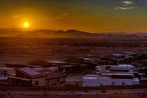
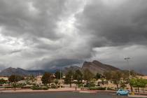
Clearing likely Friday afternoon before rain risk returns Christmas night


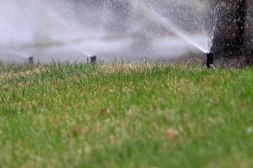

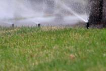
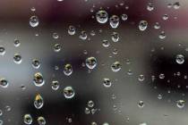
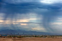
The first of two cold fronts from the Pacific Northwest should complete its trek through the Las Vegas Valley by early Friday afternoon, perhaps adding some to Thursday’s rainfall, says the National Weather Service.
Showers are a 60 percent possibility Friday morning before skies clear and the high temperature rises to around 62. Steady winds could gust to 30 mph.
Harry Reid International Airport received a tenth of an inch of rain through Thursday evening.
After a Friday of clearing and a clear Christmas Day with a high near 59, the second front should move in Christmas night when the rain probability rises to about 40 percent, meteorologist Andy Gorelow said.
“It’s a very unsettled weather pattern,” Gorelow said. “There will be a series of front dropping in from the northwest and they will have cold air with highs in the 40s next week.”
Snow could fall Friday in the higher elevations with the snow dropping to about 7,500 feet, Gorelow said.
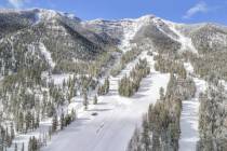
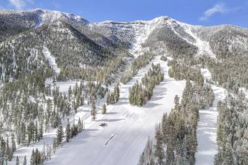
15 inches at Lee Canyon
Lee Canyon received abut 15 inches of snow overnight and another system should add more on Christmas night.
“It will be a white Christmas up here and this snowfall has allowed us to open some of our upper terrain,” wrote Jim Seely, marketing director for Lee Canyon. “Bluebird chairlift will open for the season as today was spent prepping the chairlift, lift towers and our Mountain Patrol surveying and roping off the trails and terrain. We expect to open our Sherwood chair in the next few days.”
Contact Marvin Clemons at mclemons@reviewjournal.com. Follow @Marv_in_Vegas on Twitter.