Coast Guard searching for ship with 33 aboard caught in Hurricane Joaquin
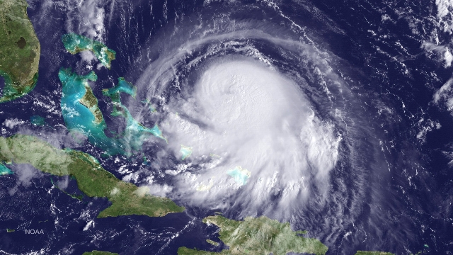
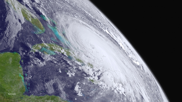
NASSAU — The fate of more than 30 crew aboard a cargo ship missing off the Bahamas in heavy seas whipped up by Hurricane Joaquin was unknown on Friday as the powerful storm battered the island chain for a second day.
News the vessel had lost contact with shore came as forecasters shifted the likely track of the potentially catastrophic storm further away from the U.S. East Coast, but there were still warnings about the possibility of severe flooding in the Carolinas from unrelated heavy rains.
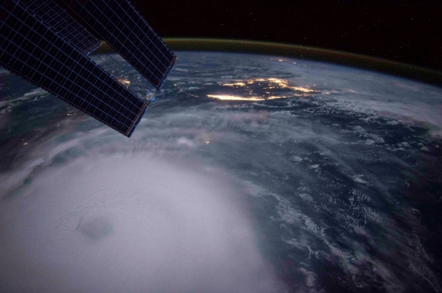
In an advisory at 5 p.m. EDT on Friday, the U.S. National Hurricane Center said Joaquin had weakened slightly to a Category 3 hurricane on a scale of 1 to 5, down from its previous Category 4 ranking.
Further slow weakening was expected over the next 48 hours, the Miami-based NHC said, as the storm moves northeastward over cooler waters.
Joaquin, the third hurricane of the 2015 Atlantic season, was expected to move away from the Bahamas on Friday night. At 5 p.m. it was about 825 miles southwest of Bermuda with top sustained winds of 125 miles per hour, the NHC said.
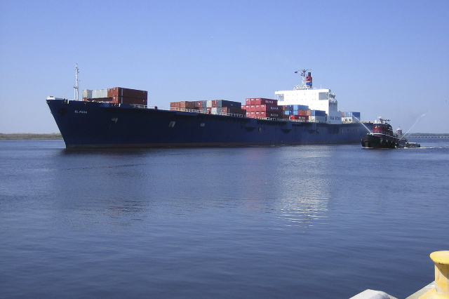
The U.S. Coast Guard said search and rescue crews were hunting for the 735-foot El Faro and its 33 crew members after it was overcome by heavy weather from Joaquin off Crooked Island in the Bahamas on Thursday morning.
The ship, with 28 U.S. citizens and five Polish nationals aboard, was headed to San Juan, Puerto Rico, from Jacksonville, Florida when it reported it had lost propulsion and was listing and taking on water, the Coast Guard said.
The Coast Guard said there had been no further communications after the vessel issued the emergency call at about 7:30 am Thursday.
The El Faro was in the eye of Joaquin about 35 miles north of Crooked Island when it issued the distress call, according to Chief Ryan Doss with the Coast Guard in Miami.
"We have had 20-foot seas reported so it's going to take a while to get into the area," Doss said.
A Coast Guard cutter headed to help after taking part in a separate rescue mission off Haiti, while two Air Force Hurricane Hunter planes searched in vain for the U.S.-owned El Faro.
"The low cloud cover makes satellite communications difficult," Doss said, while the winds and high seas made it hard to get close enough by sea or air.
"The storm is so bad and slow moving it's hard for our planes to get low enough to inspect the surface of the water."
Mike Hanson, a spokesman for the owner of the ship, Tote Maritime Puerto Rico, told Reuters all contact with the vessel had been lost since Thursday morning, which he said was "very unusual," especially as the ship was equipped with a marine transponder, a satellite phone and GPS locators on the containers. "We checked them all," he said.
The El Faro, built in 1975, recently underwent a complete updating, Hanson said, adding it had been carrying its standard cargo of groceries, cars and retail products for Puerto Rico.
Captain Stephen Russell, director of the Bahamas National Emergency Management Agency, said earlier there were no reports of deaths or injuries in the Bahamas from Joaquin.
He cited reports of extensive flooding and structural damage on at least two smaller islands in the archipelago, but apart from some roofs ripped off houses, damage seemed to be limited.
The U.S. Coast Guard also said one of its helicopter crews had rescued 12 mariners who abandoned their sinking 212-foot cargo ship after it was beset by heavy weather from Joaquin on Thursday evening off the northwest coast of Haiti.
The storm dumped torrential rain over parts of the Bahamas but its hurricane-force winds missed the larger islands and the main cities and cruise ship ports of Freeport and Nassau.
An easterly shift in the forecast track of the slow-moving system meant it was expected to pass well off the U.S. eastern seaboard, according to the NHC.
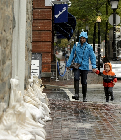
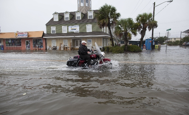
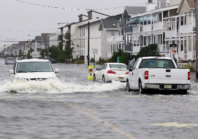
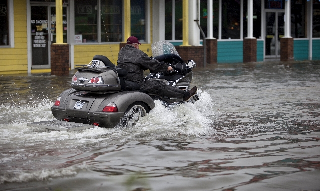
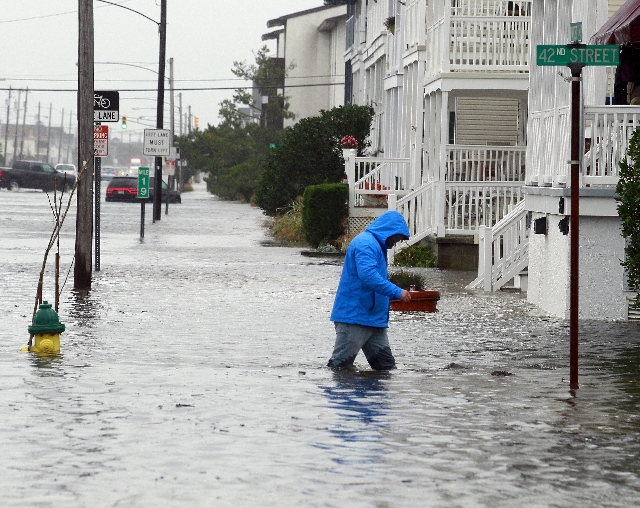
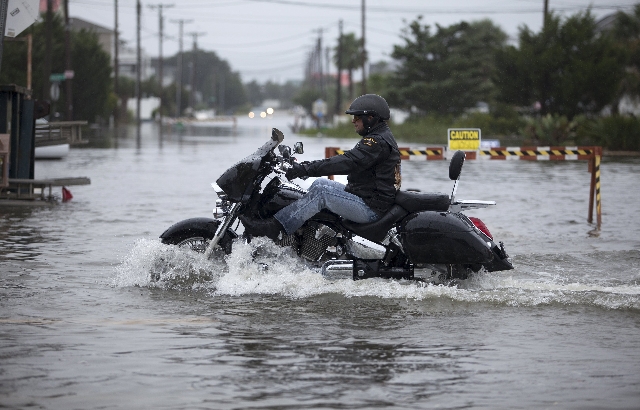
But accumulated rainfall in the Carolinas from unrelated storms this week coupled with more on the way from Joaquin prompted a warning from the National Weather Service on Friday about a "historic, potentially life-threatening rainfall event" in parts of the Carolinas and northeast Georgia this weekend.
Up to 12 inches of rain were expected in some areas between Friday and Sunday, with flash floods and gusts up to 35 miles per hour likely to topple trees and cause power outages, the Weather Service said.
"Our state is now likely to miss any direct impact from the hurricane, but there’s still significant danger of flooding, high seas, heavy surf, beach erosion and overwash," North Carolina Governor Pat McCrory told a news conference on Friday.
Two deaths in the Carolinas on Thursday were linked to heavy rainfall.
Earlier this week, the governors of New Jersey, Virginia, North Carolina, South Carolina and Maryland declared states of emergency and announced measures including mobilization of National Guard troops in preparation for the storm.
Before the first easterly shift in Joaquin's trajectory, New York and New Jersey — where Superstorm Sandy killed more than 120 people and caused $70 billion of property damage in October 2012 - both faced potential threats from the storm.


