February starts on a wet note in Las Vegas Valley — PHOTOS

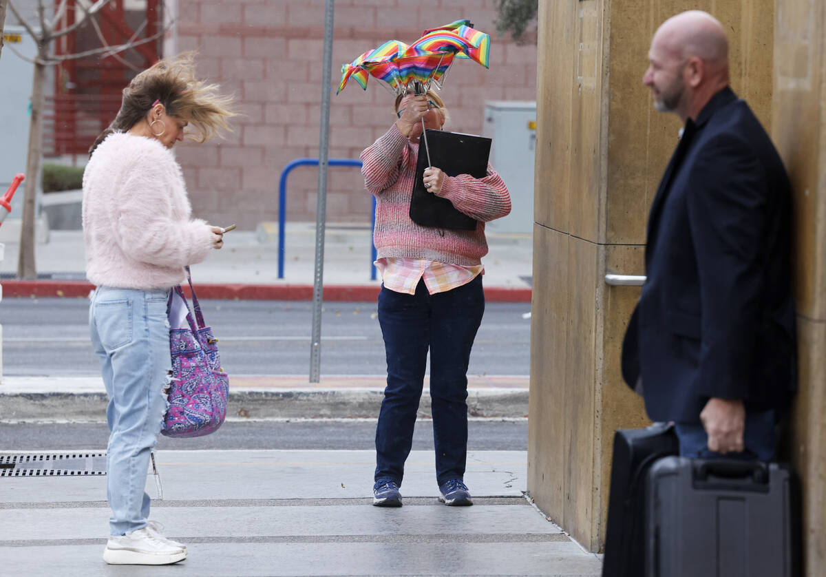
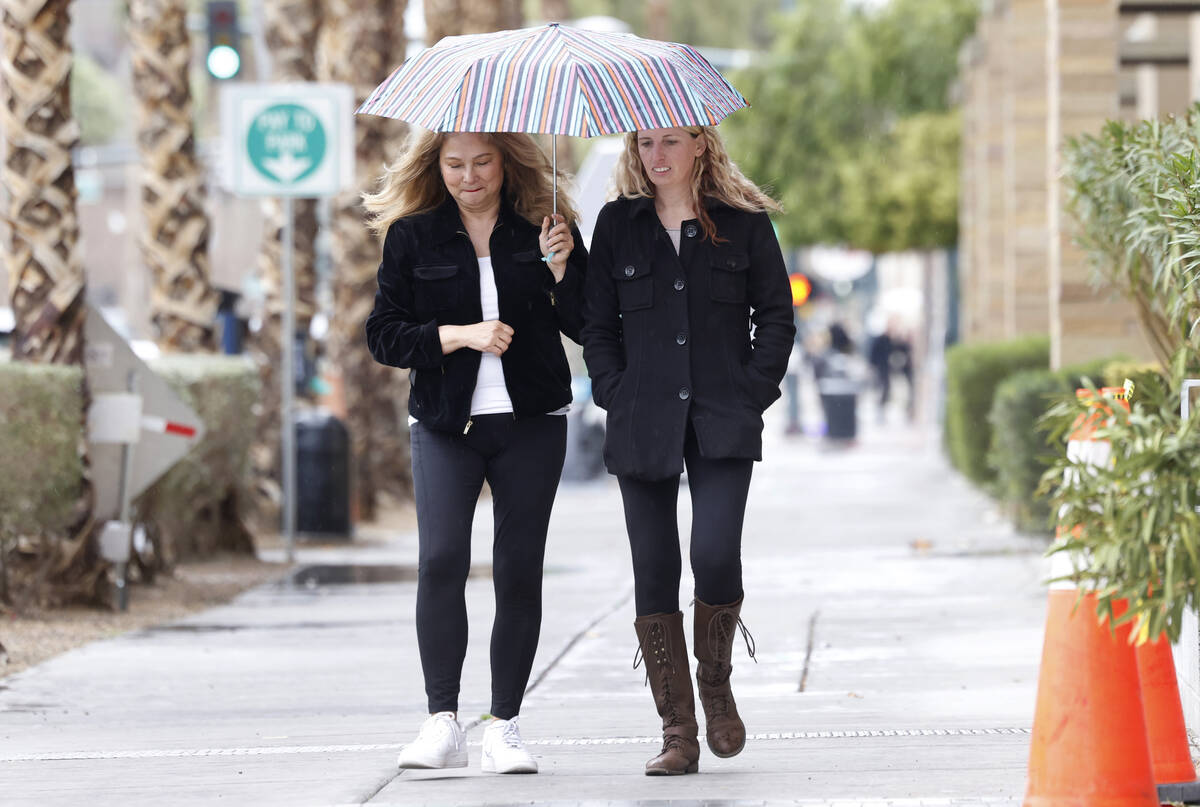
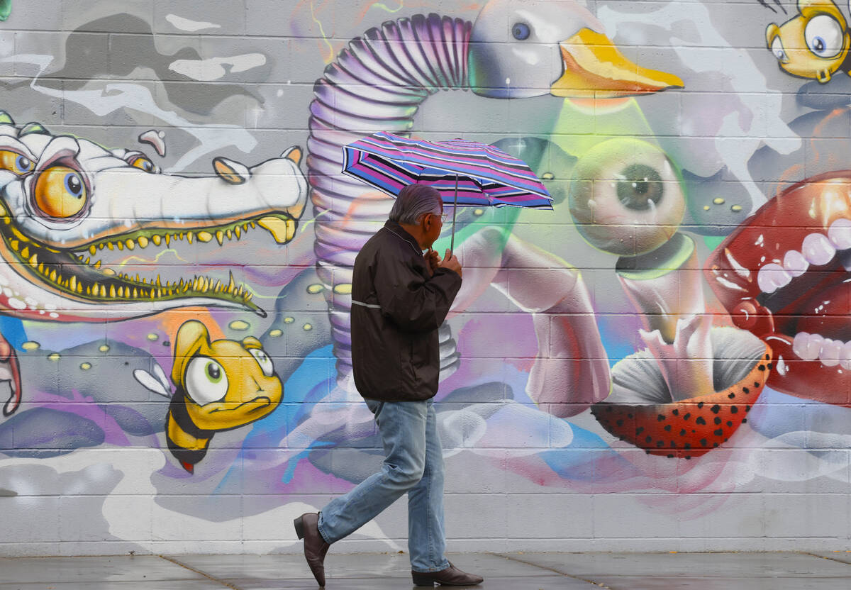
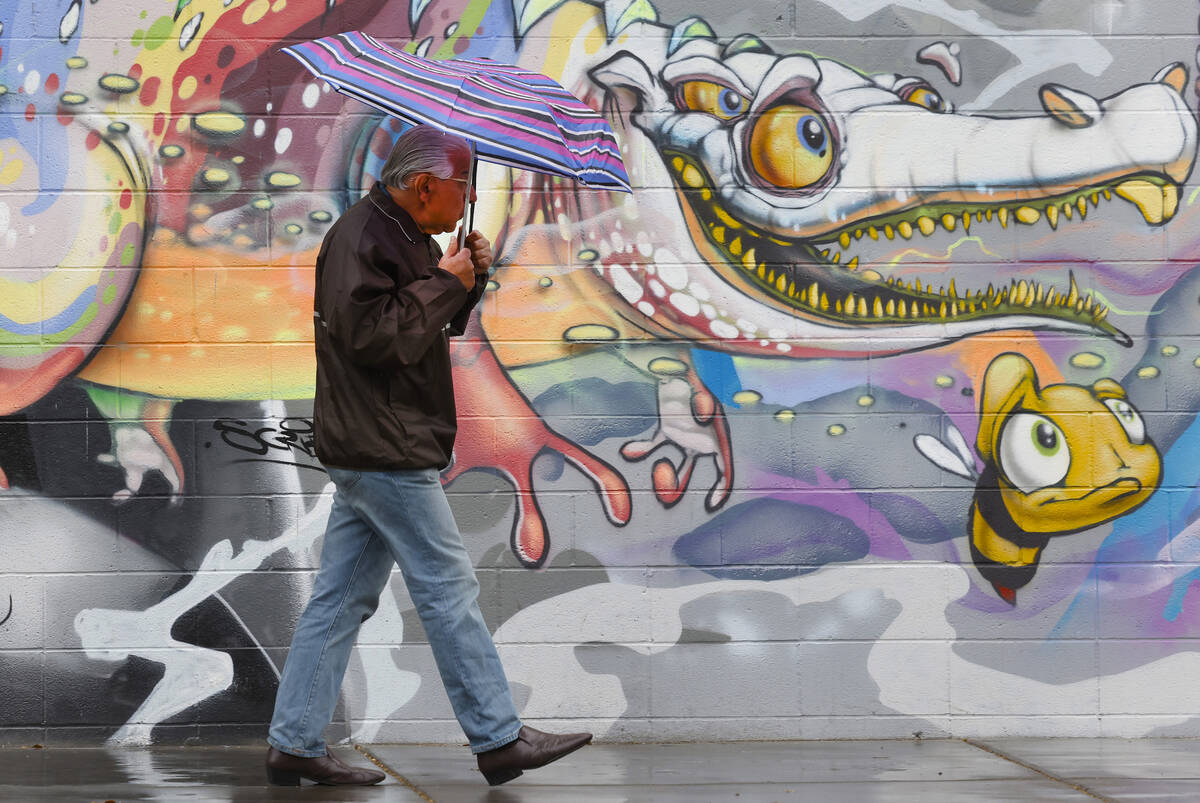
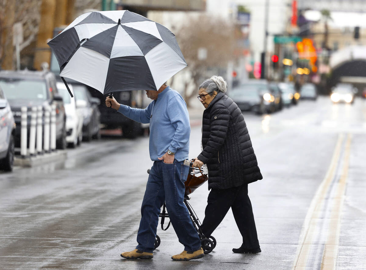


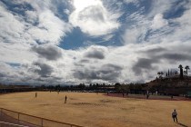
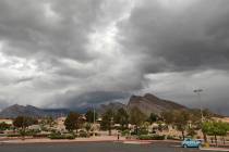
Rain fell across the entire Las Vegas Valley on Thursday afternoon as a thick blanket of clouds obscured most of the mountains.
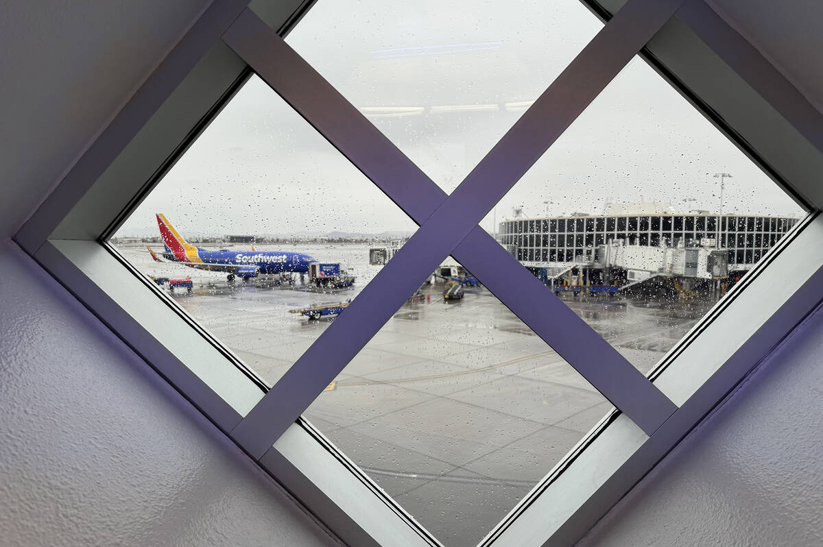
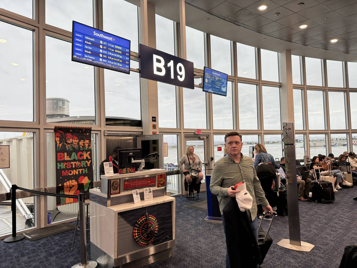
The low clouds caused significant flight delays — an average of more than three hours — at Harry Reid International Airport.
Early Thursday evening, a ground delay at the airport was removed. Earlier, about 5:30 p.m., the Federal Aviation Administration website that monitors the nation’s air traffic said ground delays at Las Vegas were averaging 187 minutes because of low clouds. There had been 142 cancellations and 566 flights delayed since midnight, according to flightaware.com. Flights from Las Vegas were being delayed as well as flights at other airports scheduled to depart for Las Vegas.
A rain gauge midway up the Sheep Range north of the valley showed .28 of an inch in the 10 hours ending at 6:30 p.m. with .24 of an inch about three miles east of Mount Charleston, a quarter-inch at Red Rock Canyon and .16 of an inch north of Goodsprings to the south. Several gauges at the base of the Sheep Range showed .20 to .28 on an inch. Rain tapered off in the early evening hours.
Most other Regional Flood Control District gauges showed from .08 to .20 of an inch from the west side across to Boulder City and from the south end of the valley north up the Interstate 15 corridor to Apex.
Airport temperature dropping
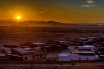
The Thursday high at the airport was 58 about 9 a.m., but the temperature declined to 48 by early afternoon and stayed there into the evening. A second storm was expected to arrive sometime Sunday evening into Monday.
“It’s really uncertain right now, but sometime Sunday evening or Monday morning for the second storm,” meteorologist Ashley Nickerson said.
Rainfall at the airport was .26 of an inch for January, three-tenths of an inch below the norm of .56 of an inch.
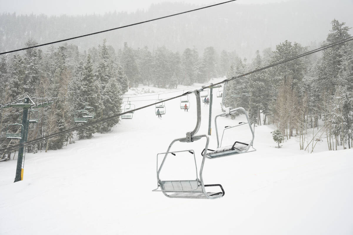
Mountain snow
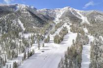
Snow began well before sunrise in the Spring Mountains. Lee Canyon reported 11 inches of snow as of 4:30 p.m. with several more inches expected into the night, according to a resort spokeswoman.
I know some places are claiming 11” of snow today. I think I saw a drift that deep, but I measured about 5” today as lots melted back. Either way, it’s still snowing. pic.twitter.com/ULMkgojfrz
— Mt Charleston Mountain Man (@mountainman_mc) February 2, 2024
A winter storm warning covers all mountain areas north and west of Las Vegas as an atmospheric river is forecast to bring the biggest storm of the winter to a large area.
In the Spring Mountains, Sheep Range, and Red Rock Canyon, heavy snow is expected above 6,000 feet with accumulations of 3 to 10 inches above 6,000 feet and 10 to 20 inches above 7,000 feet with up to 2 feet possible at the highest elevations. Winds could gust as high as 45 mph. The warning expires 4 p.m. Friday.
All five lifts at Lee Canyon are operating while 16 of 28 trails are open. The resorts has now received 52 inches of snow this winter.
Further north in the Eastern Sierra slopes, snow accumulations are expected to be 3 to 8 inches between 5,000 and 8,000 feet, 10 to 18 inches above 8,000 feet, and up to 30 inches at the crest. Winds could gust as high as 55 mph.
California to get hit twice
Heavy rain flooded California roadways and much-needed snow piled up in the mountains as the first of back-to-back atmospheric rivers pummeled the state Thursday. Significant rain and, at higher elevations, snowfall are then expected to hit Southern California from Monday through Wednesday, which could cause mudslides and dangerous flooding.
Contact Marvin Clemons at mclemons@reviewjournal.com. Follow @VegasMarvRJ on X.