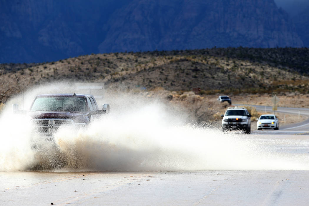
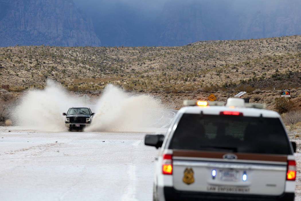
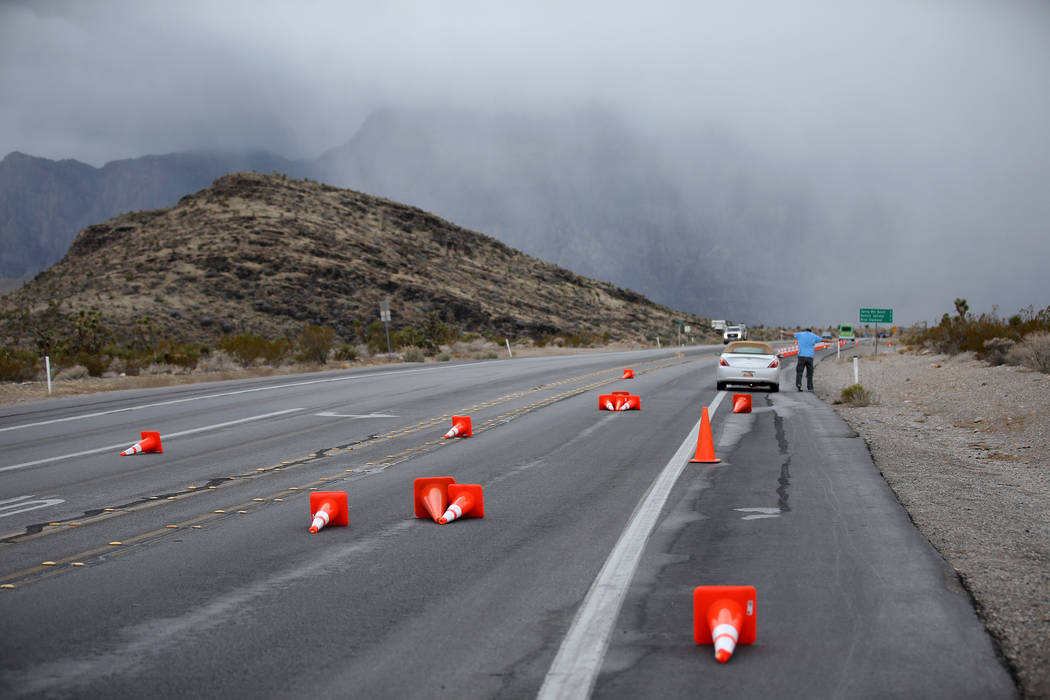
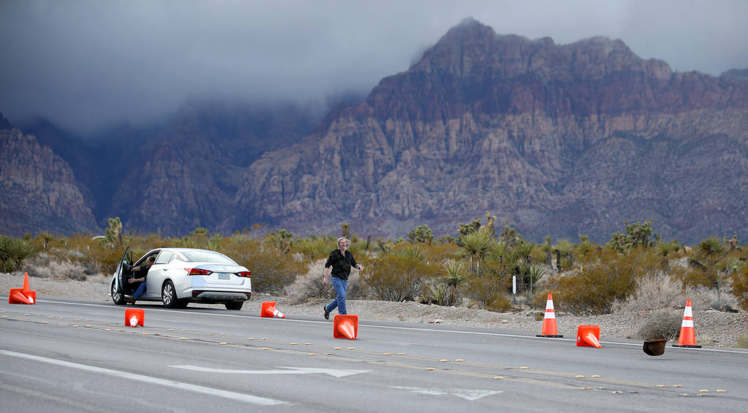
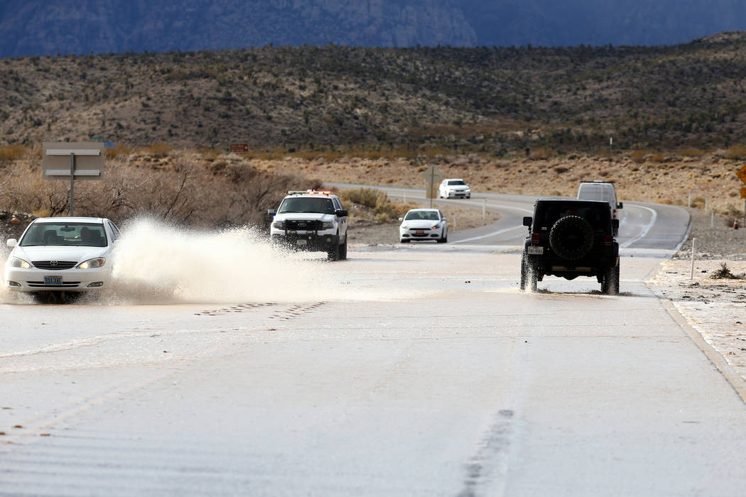
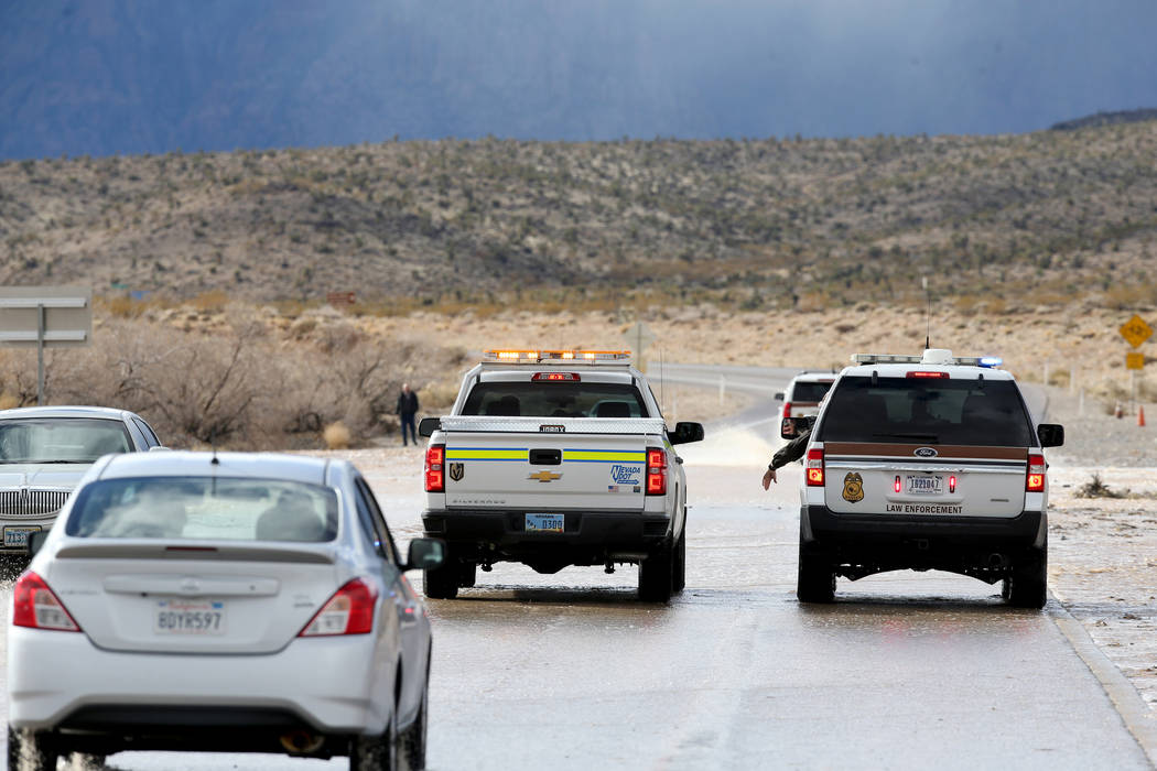
Flooding closes Red Rock Canyon’s scenic loop on Thursday
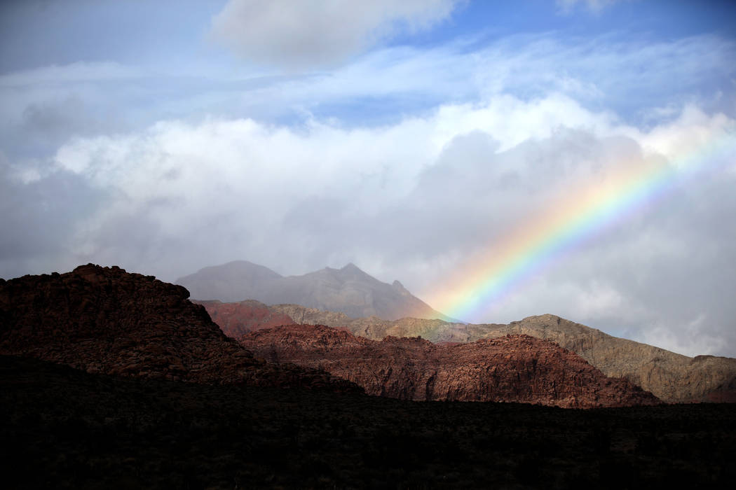
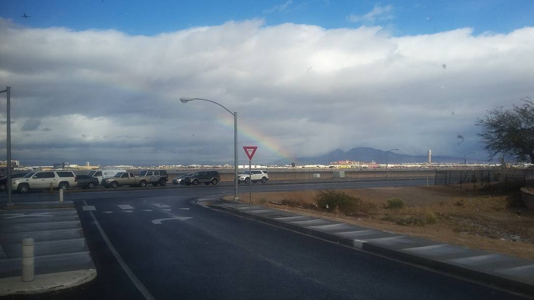
One more day of wet weather stands between the Las Vegas Valley and a rain reprieve, according to the National Weather Service.
On-and-off showers were expected Thursday, but chances of rain decline to about 20 percent overnight and most of the rain should fall before midnight, weather service meteorologist Ashley Wolf said. Dry conditions are forecast through the weekend.
“This is kind of the last wave of rain that we’ll get through the beginning of next week at least,” Wolf said.
Strong winds gusting between 40 and 50 mph are possible in the western valley Thursday afternoon, the weather service posted on Twitter.
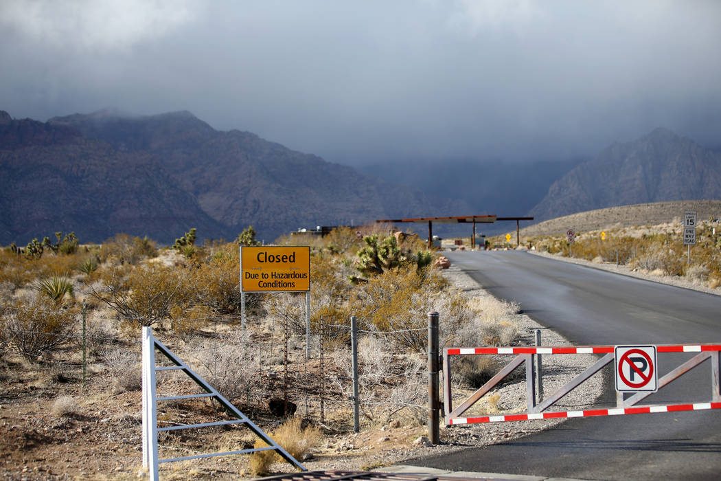
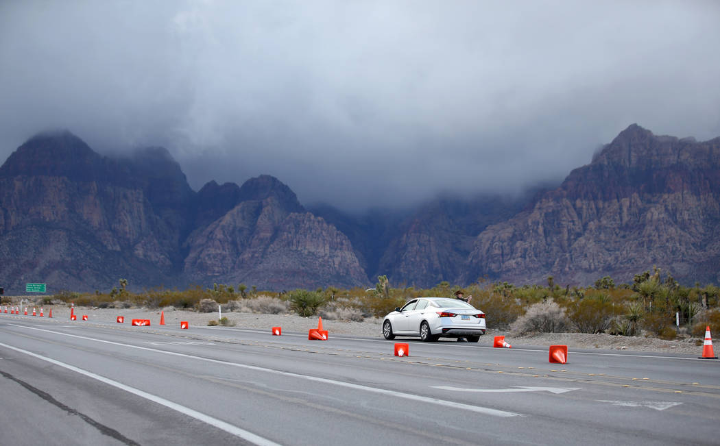
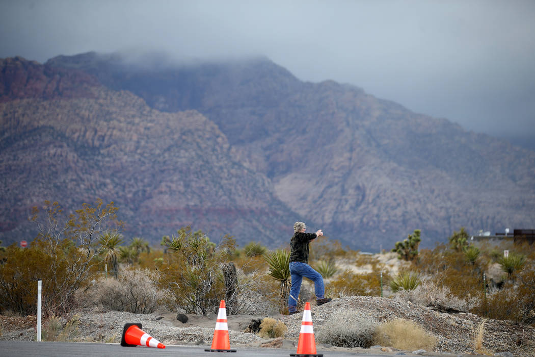
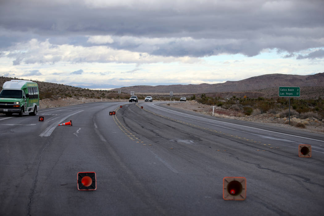
The scenic loop at Red Rock National Conservation Area was closed Thursday afternoon because of flooding, the park’s social media account posted, adding that the loop would only reopen Thursday when the water recedes.
Thursday’s forecast high is 63 degrees with an overnight low of 46. Friday’s high is expected at 60, followed by steady temperatures through the weekend, with highs and lows of 63 and 44 both days, Wolf said.
The slightly above-average temperatures — the typical high for this time of year is about 58 degrees — should be paired with partly cloudy skies, she said. Winds could blow between 15 and 20 mph Thursday night, but “after that winds aren’t really an issue” through Tuesday, Wolf said.
“Not a bad weekend at all,” she added.
By the beginning of next week, temperatures will drop to near normal. Monday has a forecast high of 59, and Tuesday’s is expected to be 57.
Contact Mike Shoro at mshoro@reviewjournal.com or 702-387-5290. Follow @mike_shoro on Twitter.


