Get wet this weekend? Time to bundle up.


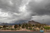
Southern Nevadans have received a dose of wind and rain and even snow if they were in the mountains.
Now, get ready for a prolonged period of cold, says the National Weather Service.
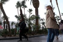
The wind chill dropped to 39 late Sunday night at Harry Reid International Airport after a before-noon high of 55.
Monday morning’s low in the central valley should be around 35 after overnight winds gusting to 18 mph, down from 30 mph gusts shortly after Sunday’s sunset.
Daily highs all week will be close to 50 with morning lows close to freezing. Those forecasts are for the airport. Outlaying areas and higher elevations will see lows below freezing and highs struggling to the mid-40s.
Sunday storm
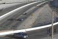
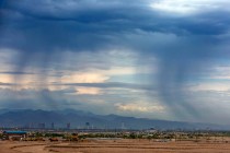
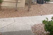
Sunday’s winter storm, which moved through the valley from mid-morning to early evening, dropped rain in nearly every Flood Control District rain gauge from Primm (.04 of an inch) to Motoqua (.31) in Utah just a few miles east of the Nevada state line.
A gauge near Willow Springs, Ariz., several miles west of U.S. 93, logged .83 of an inch for the wettest spot.
Closer to Las Vegas, a gauge north of Goodsprings hit .51 of an inch while several gauges near Red Rock Canyon took in .28 of an inch.
Virtually every of the several hundred rain gauges recorded at least .02 of an inch to .12 or a bit more.
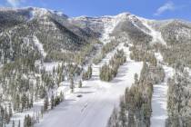
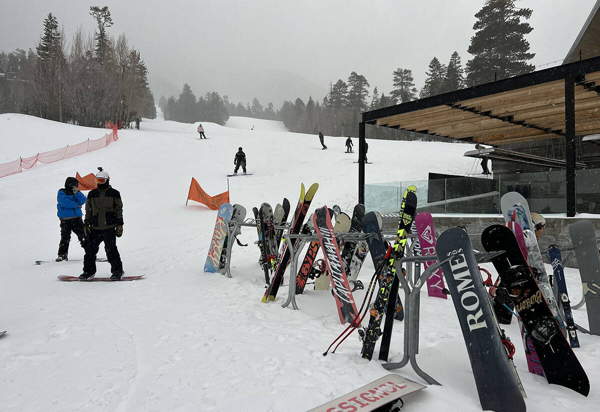
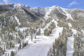
Lee Canyon received 11 inches of snow and reported about 700 skiers and snowboarders on the slopes with the snow pretty much the same hue of color as the cloud-laden sky.
Now comes sunny conditions, but cold will warrant more than the usual jacket or a layered approach. The forecast calls for dry conditions until a slight chance of rain or snow showers next weekend.
Contact Marvin Clemons at mclemons@review-journal.com. Follow @Marv_in_Vegas on Twitter.