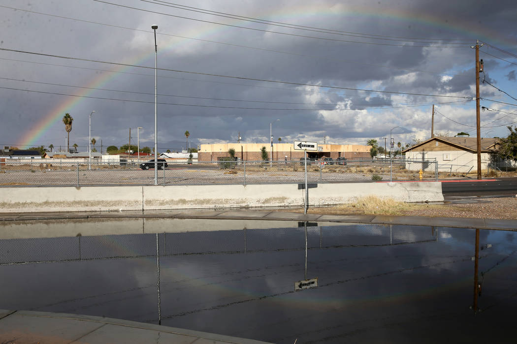
Las Vegas Valley sets date’s rain record; 110-plus crashes reported
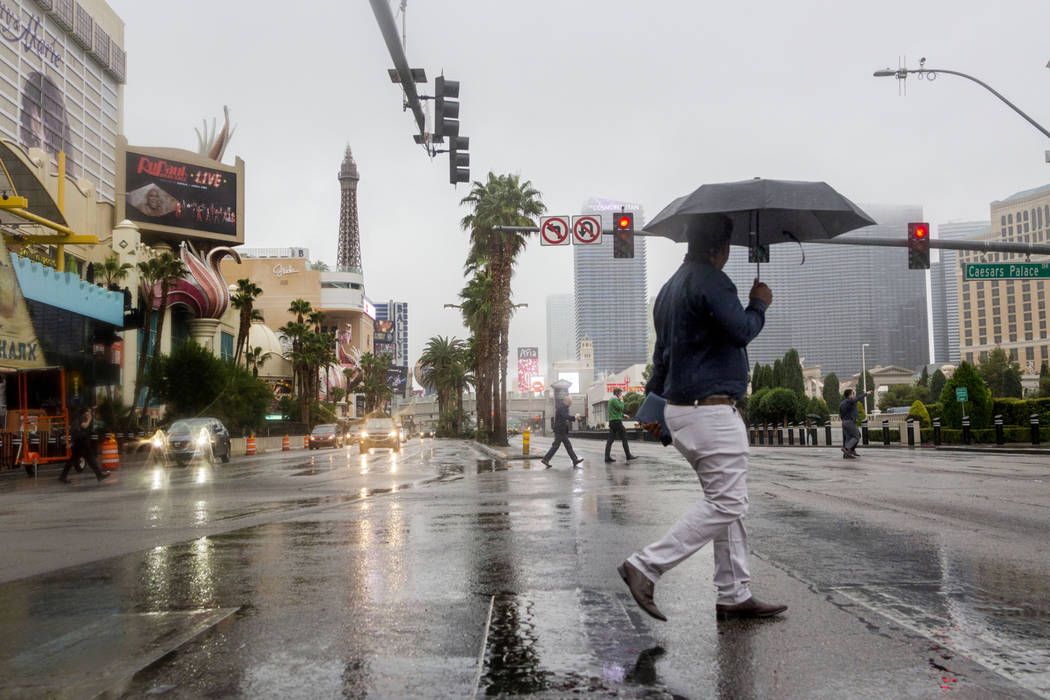
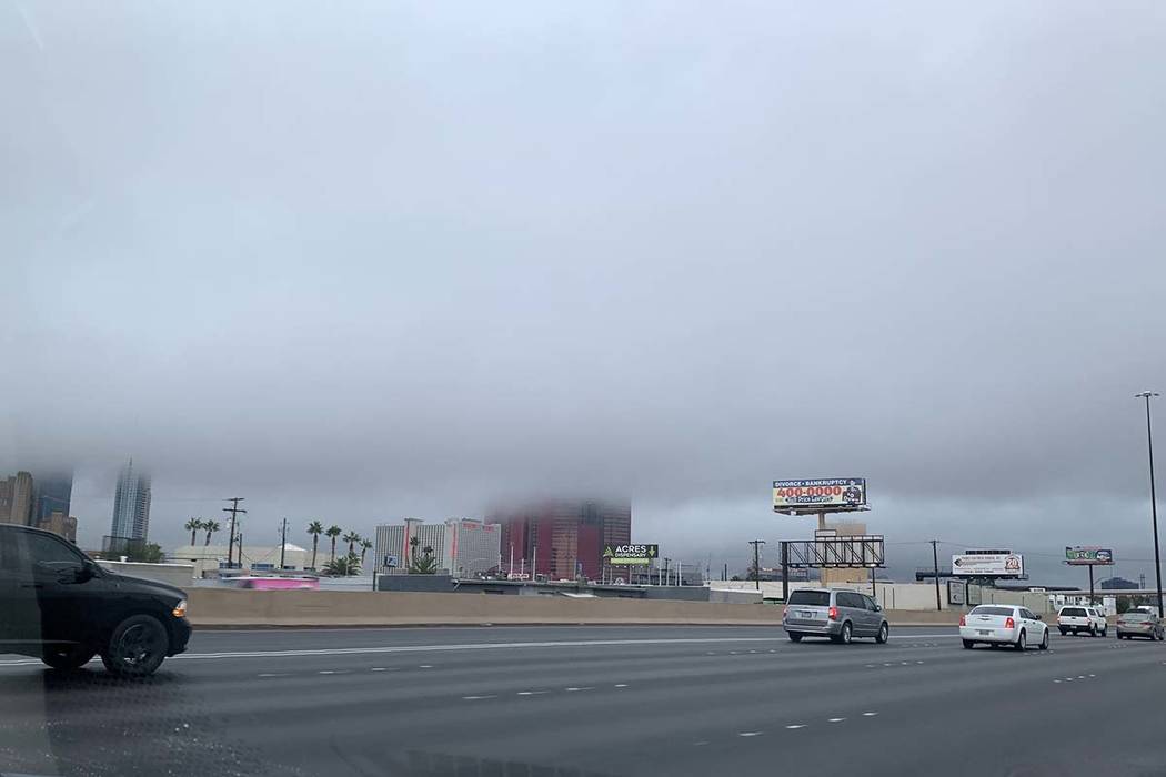
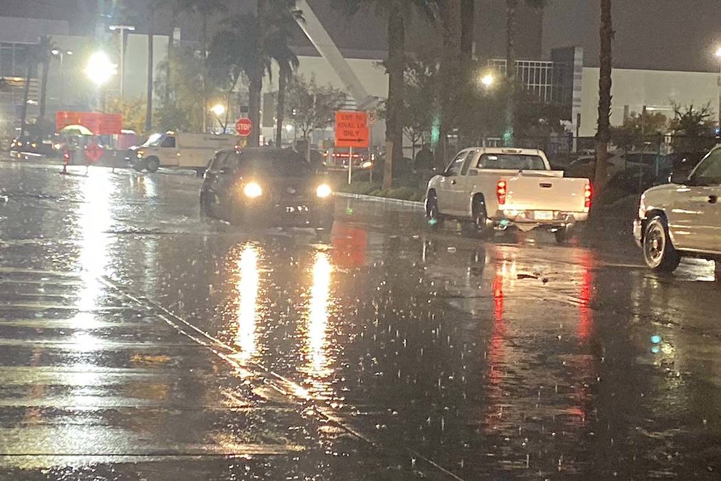
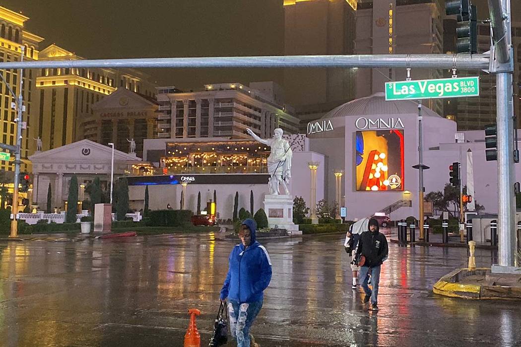
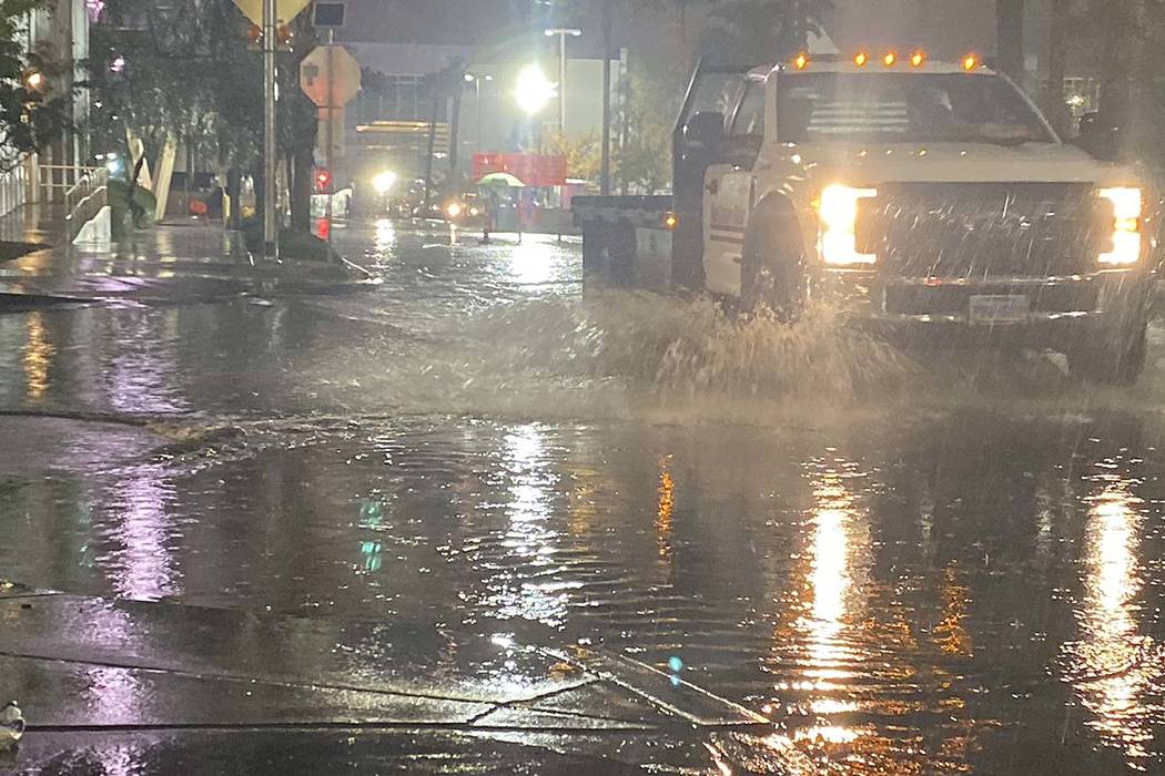
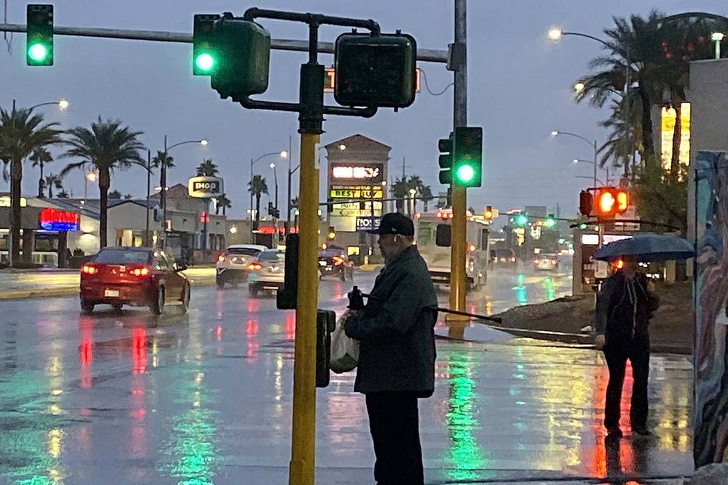
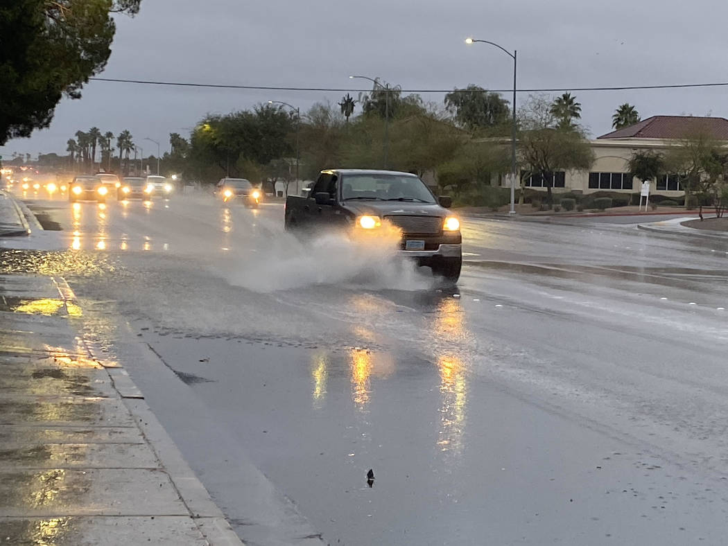
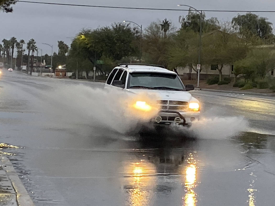
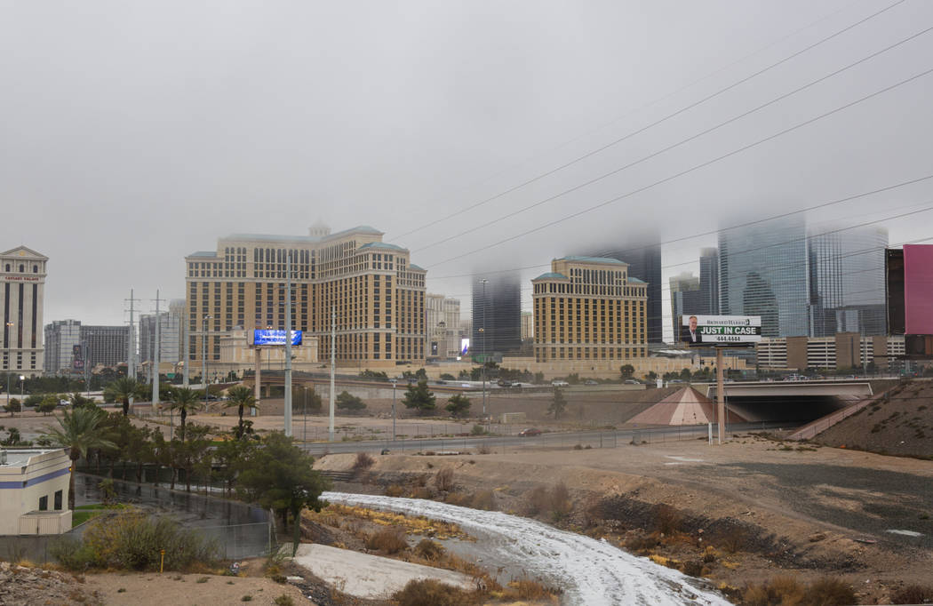
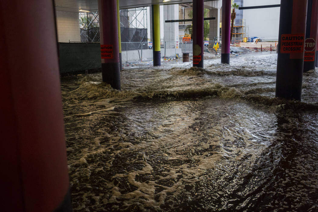
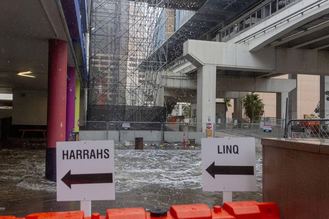
Widespread rainfall late Tuesday and Wednesday — the first for the Las Vegas Valley in two months — led to water rescues, traffic tie-ups and power outages.
By 8 a.m. Wednesday, according to the National Weather Service, the valley had broken its rain record for the date: 0.26 inch, set in 1963.
As of 6:45 p.m., a half-inch of precipitation had fallen at McCarran International Airport, bringing the rain total for 2019 to 5.41 inches. The average annual rainfall at the airport is 3.55 inches.
Boulder City received the most rain, with 2 inches in some rain gauges. Henderson received 1 to 2 inches, while the northwest valley had seen 0.4 to 0.8 inch as of 6:45 p.m.
The Regional Flood Control District charts rainfall around the area. Check out the map.
Until late Tuesday, the valley had not seen widespread rainfall since Sept. 23, according to the weather service.
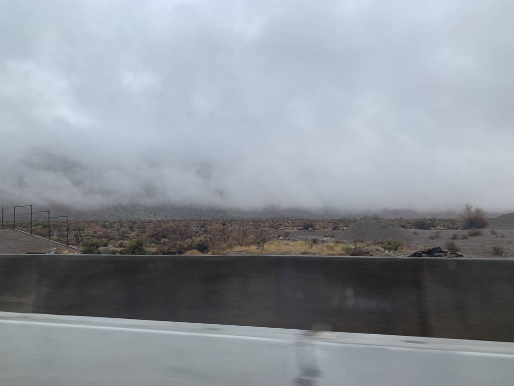
The storm system brought snow to Mount Charleston and the Sheep Range, where a winter storm warning was in effect until 4 p.m. Thursday.
“It may very well be the first snow of the season if the last time we got rain was Sept. 23, which had a high in the 90s,” meteorologist Clay Morgan said.
As of 6:30 p.m., the weather service had received reports of about 6 inches of snow in Lee Canyon, National Weather Service meteorologist Andy Gorelow said.
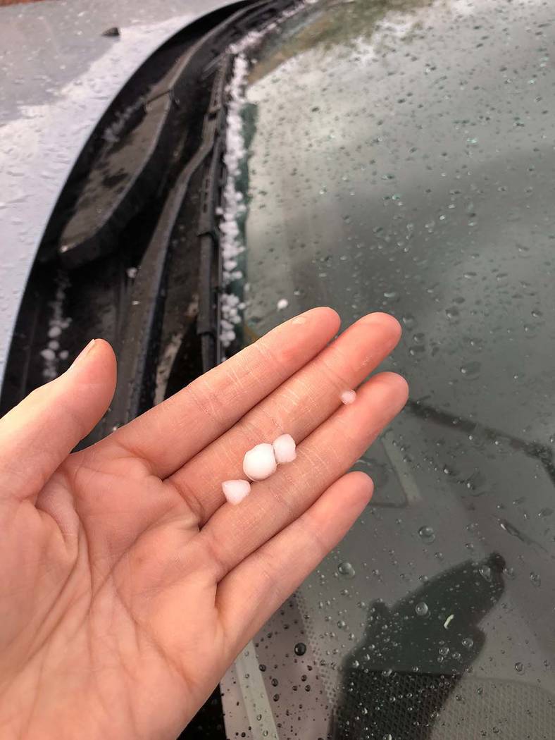
Pea-size hail was reported about 1:45 p.m. in Summerlin, near the 215 Beltway and Charleston Boulevard, and in Centennial Hills in northwest Las Vegas.
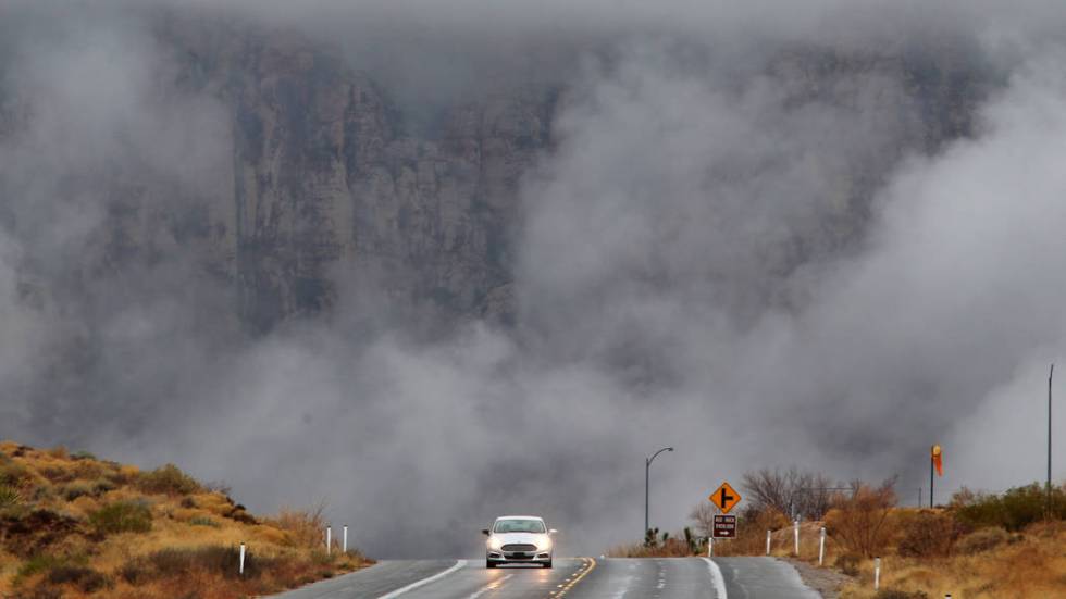
The storm
According to the weather service, light rainfall started well before midnight Tuesday in parts of Las Vegas but began to pick up about 5 a.m., moving in from the southwest and spreading across the valley.
By about 7:30 a.m., two people had been rescued from a wash near Pecos Road and East Lake Mead Boulevard, according to the Las Vegas Fire Department. Both were uninjured.
Emergency agencies are advising people to avoid going in or near various washes in the valley during the storm.
Although most of the rain cleared out by about noon Wednesday, precipitation was expected for the valley through Thursday, Gorelow said. Overnight Wednesday had an 80 percent chance for rain, while Thursday has a 50 percent chance for scattered showers.
Thursday has a forecast high of 56, followed by highs of 59 on Friday, 62 on Saturday, 63 on Sunday and 63 on Monday. After the storm moves away, the valley should be sunny through the weekend, the weather service said.
Traffic and power outages
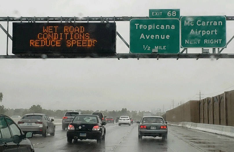
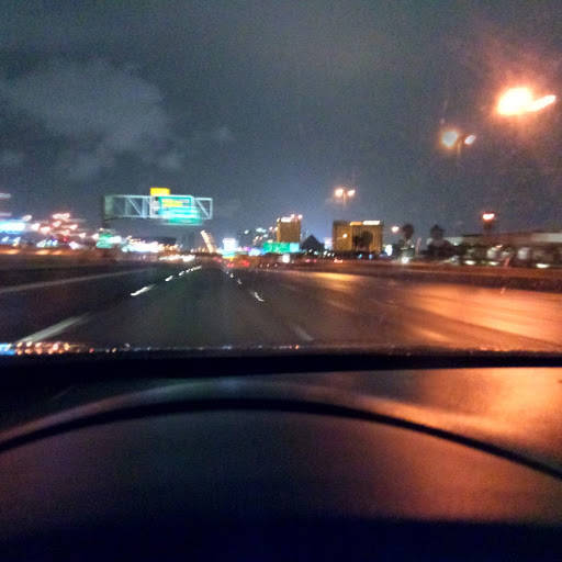
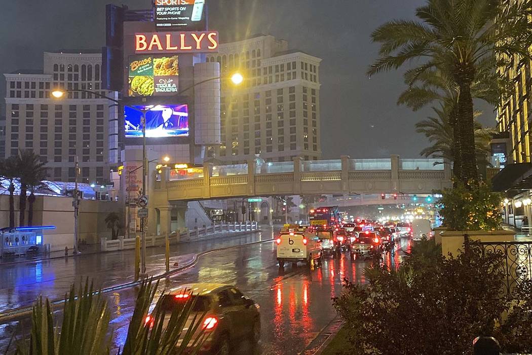
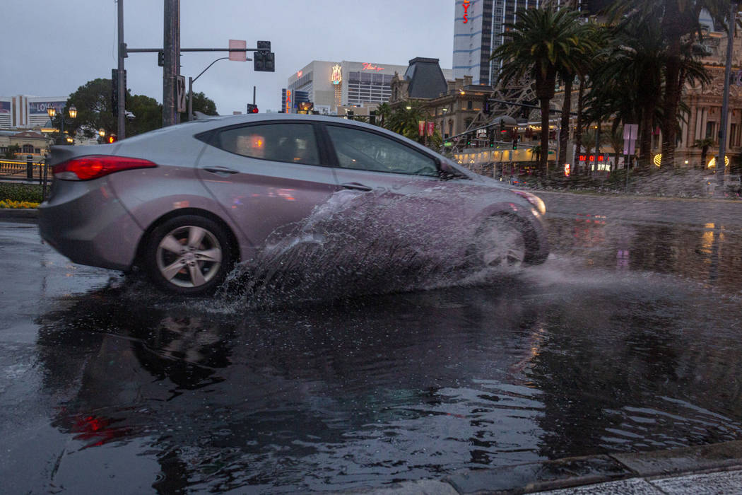
Meanwhile, the rain had affected road conditions all across the valley during the morning commute.
The Nevada Highway Patrol responded to 111 crashes between 4 a.m. and about 3:30 p.m. Wednesday, more than double the number that generally happen in the valley during dry days. Twenty-eight of the crashes caused injuries, but no one was critically hurt, and five crashes were hit-and-runs, the Highway Patrol said.
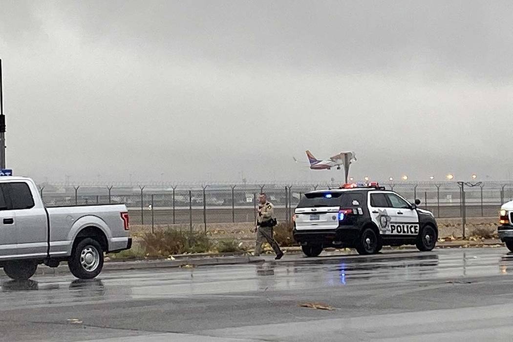
Las Vegas police also dealt with traffic conditions affected by the storm Wednesday morning, including several crashes in the McCarran International Airport connector tunnels.
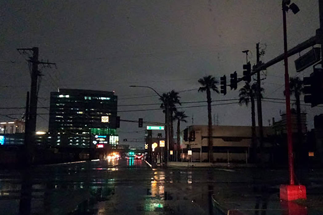
At the same time, there were 1,684 NV Energy customers in Clark County without power in 72 outage areas as of 10:25 a.m., down from 5,100 without power at 7:15 a.m. By 7 p.m., fewer than 200 NV Energy customers were without power in the county, with most in the west valley near Sahara Avenue and Jones Boulevard.
Crews were out restoring power, working as quickly and as safely as they can, said NV Energy spokeswoman Jennifer Schuricht said earlier Wednesday.
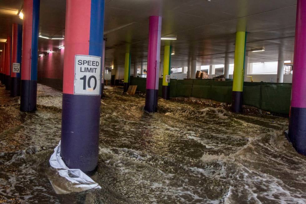
Snowfall at Mount Charleston
As heavy snowfall was expected at Mount Charleston on Wednesday, with accumulation generally 4 to 8 inches, Nevada Highway Patrol spokesman Jason Buratczuk has warned that the first dose of snow in the mountains could bring large crowds to the area this week.
“Thankfully this is going to be midweek, so I don’t think we’ll be seeing too much traffic, but it’s still going to attract people who are curious to see snow,” he said. “We just ask that people pay attention.”
In snowy weather, cars need to be outfitted with chains, all-wheel drive or four-wheel drive for Lee and Kyle canyons, he said. Those heading up the mountain need to park completely off of the road or in a marked parking spot to avoid being towed or getting a ticket.
People should make sure they have a full tank of gas and a fully charged cellphone and carry blankets and snacks in case their car breaks down, Buratczuk said.
Contact Marvin Clemons at mclemons@reviewjournal.com or at 702-383-0217. Follow @Marv_in_Vegas on Twitter. Review-Journal staff writers Rio Lacanlale and Katelyn Newberg contributed to this report.
Related
Crashes causing traffic tie-ups around Las Vegas Valley
A guide to driving in the rain in Las Vegas


