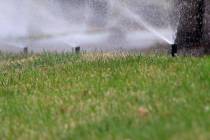
Last day of ‘dangerous’ heat forecast for Las Vegas
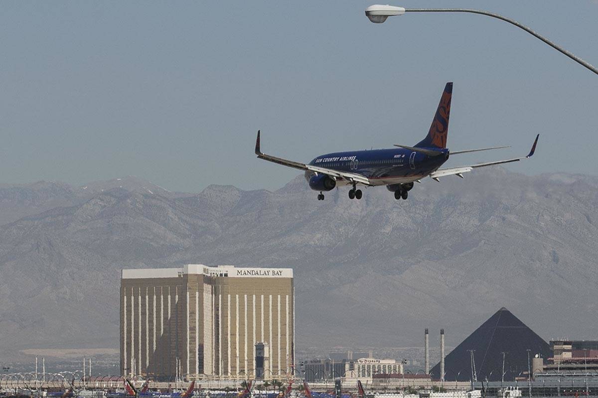


The slow but steady decline from record temperatures should bring relief to Las Vegas Valley residents by the weekend.
“We have one more day where temperatures might be at dangerous levels, especially if you don’t take precautions,” National Weather Service meteorologist Ashley Nickerson said. “But the general trend is definitely down.”
One more day of dangerous heat on tap before temperatures gradually cool heading into next week. Make sure to take the typical heat precautions today- temperatures this hot can cause health impacts if you're not careful!#azwx #cawx #nvwx #vegasweather pic.twitter.com/82yDdR2Nku
— NWS Las Vegas (@NWSVegas) August 27, 2020
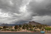
Thursday is the final day of an excessive heat warning for the Las Vegas region. Temperatures could reach 115 in the Colorado River Valley.
The Las Vegas forecast high is 107, which will be the 57th consecutive day with a high of 100 or more. The July 2 high was 99. The record streak is 66 days, set in 1944.
The overnight low dipped to 87.
Winds of up to 25 mph are forecast for Thursday, a bit stronger than Wednesday.
By the weekend, the projected high is 104 for Saturday and 102 on Sunday, slightly above the normal high of 101 for late August. Monday’s high will be around 100 as a low from the Pacific Northwest moves south.
Hottest August ever
Through Wednesday, the average temperature (daily high and daily low) at McCarran International Airport was 96.0, well above the 94.4 record in 2018.
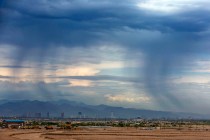
Monsoon Factoids (A Thread)
⚡⛈️☔
Monsoon season. What is it? What does it mean? Why does @NWSVegas KEEP TALKING ABOUT IT when there's no rain here in #LasVegas?!Let us help you answer some of these questions and ease some frustration surrounding #Monsoon2020. (1/6) pic.twitter.com/WE4vKUJxjd
— NWS Las Vegas (@NWSVegas) August 24, 2020
No measurable rain has been fallen at McCarran since April 20, a stretch of 128 days. The record is 150 days from Feb. 22 through July 21, 1959.
Precipitation is not expected during the seven-day weather service forecast.
Contact Marvin Clemons at mclemons@reviewjournal.com. Follow @Marv_in_Vegas on Twitter.