
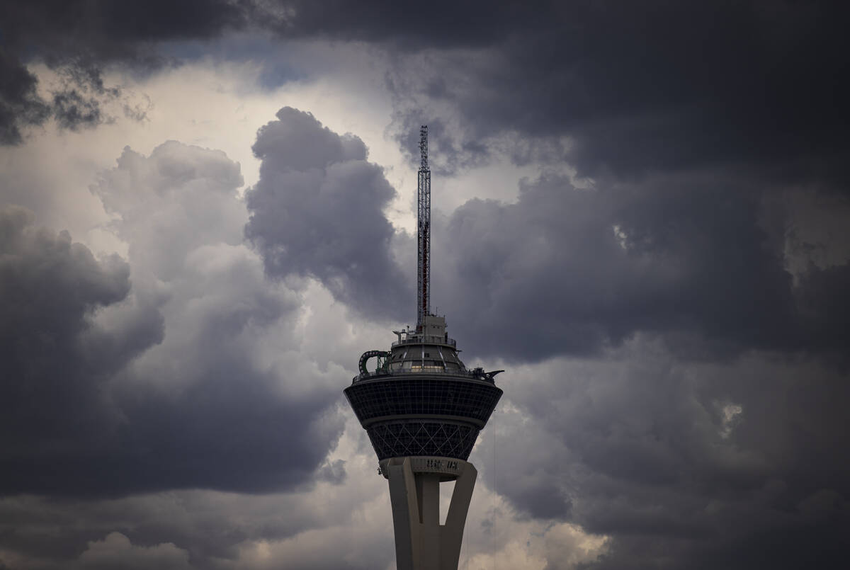
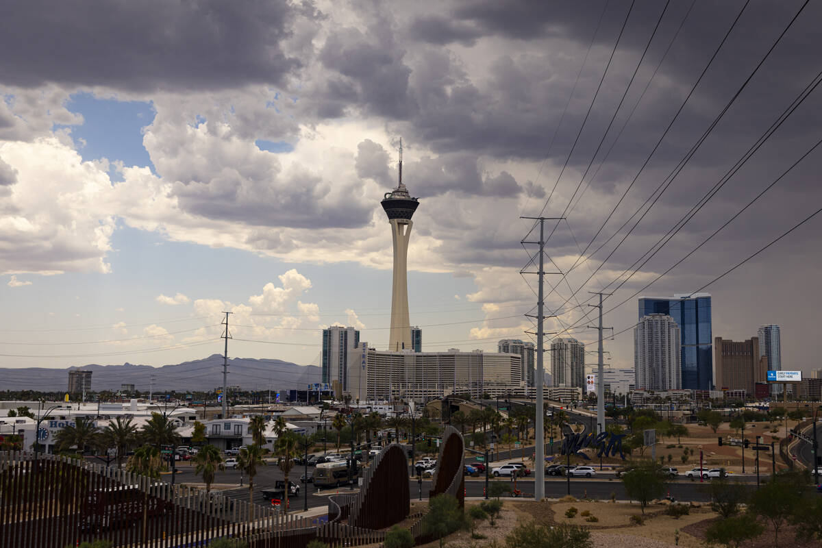
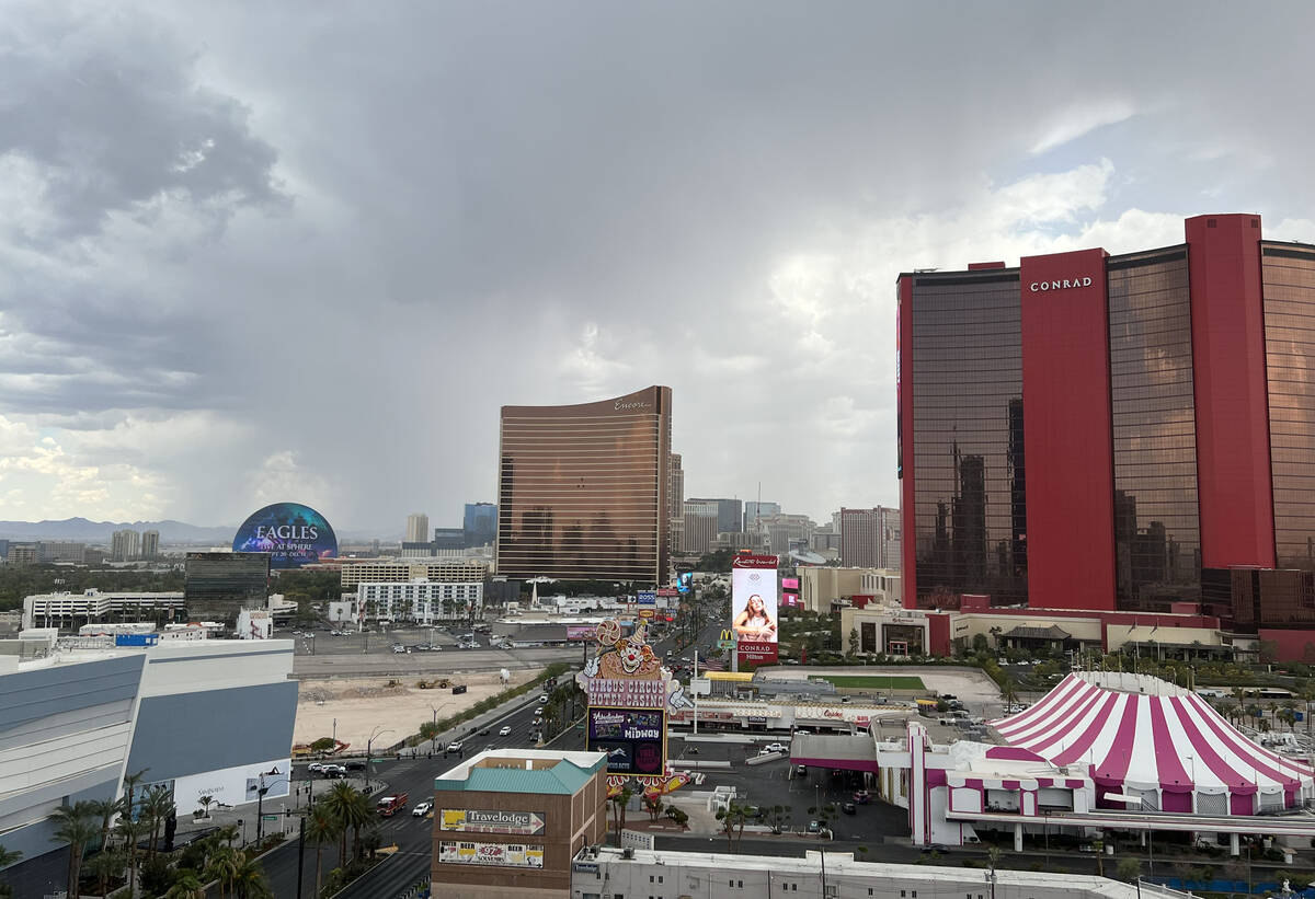
Much of Las Vegas Valley gets a drenching, threat remains
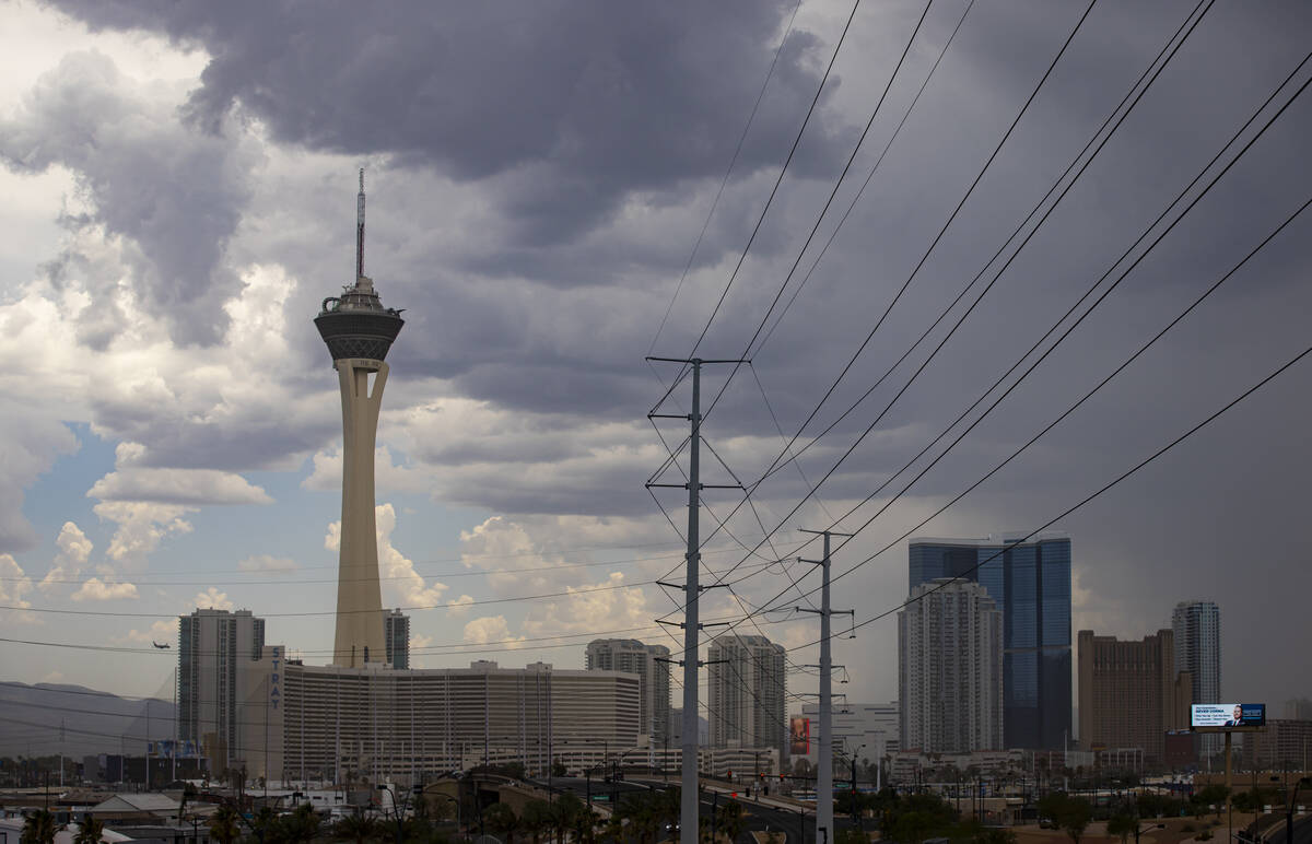
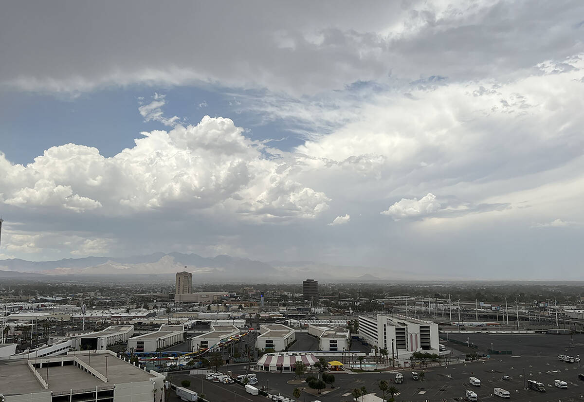


Heavy early afternoon storms in the Las Vegas Valley began to disperse shortly before 2 p.m., but flooding advisories remained in play until later in the afternoon.
The east side of the valley from Sloan Canyon through Henderson and north toward Nellis Air Force Base was receiving the heaviest rain as of 3:20 p.m.
“Rain was beginning to decrease over the western side of the Las Vegas Valley and nearby portions of Clark County,” the weather service posted at 1:40 p.m. “However, significant rain fell earlier, so minor street flooding is still a concern.”
A flash flood warning was issued for the west-central parts of Clark County and set to expire before 4 p.m.
Areas that were expected to receive flooding included Rainbow Canyon, Spring Mountains, Mount Charleston, Kyle Canyon Campground, Fletcher View Campground, Hilltop Campground, Mahogany Grove Campground, Mary Jane Falls Campground, Dolomite Campground and McWilliams Campground, said the National Weather Service.
Rain gauges showed 1.30 of an inch of rain in one Harris Springs spot and 1.14 of an inch in another within three hours before 1:30 p.m.
A flash flood advisory that was effective until 3:45 p.m. covers much of the rest of the valley.
“We’ll have this much of the afternoon until it calms down after sunset,” meteorologist Jenn Varian said.
Nearly a third of an inch of rain had fallen near the Silverado Ranch drainage basin in the southwest valley as of 1 p.m., according to Regional Flood Control District gauges. Other gauges in the area showed .20 of an inch or a bit less.
Rainfall was heavy on Warm Springs Road in Henderson with .079 of an inch falling within an hour before 2 p.m. Several gauges in the area showed more than a half-inch of rain and increasing in the afternoon.
Some hail and showers were spotted by a Review-Journal staffer at Palo Verde and Boulder Highway in the southeast valley. Thunder and lightning were also reported in Henderson.
A flash flood warning was in effect until 4:15 p.m. for Henderson and the southeast valley. A gauge near Calico Ridge showed 1.11 inches fell in two hours before 3:30 p.m.
Lake Mead National Recreation Area was getting hit with small, but heavy storm cells, while the north-central part of the valley was left primarily dry as of 3:20 p.m.
The north-central and northwest parts of the valley were largely rain-free during the afternoon.
This is a developing story. Check back for updates.
Contact Marvin Clemons at mclemons@reviewjournal.com.


