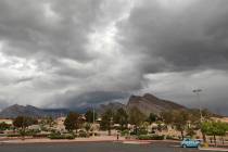
Storm headed from Sierras to bring rain, snow, wind to area


Winds up to 45 mph, a possibility of 6 inches of snow in the Spring Mountains and a 60 percent chance of rain in the Las Vegas Valley are forecast for early Sunday, according to the National Weather Service.
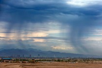
A 60 percent chance of showers mainly after 1 a.m. Sunday was in the latest forecast on Saturday night.
A wind advisory for most of the region was issued Saturday and runs through Sunday at 1 p.m.
“The strongest winds will generally be midnight until sunrise tomorrow,” meteorologist Clay Morgan said, adding that winds could reach 45 mph, most strongest on the west side of the valley.
“If we get some mountain wave action they could be a little stronger in places,” Morgan said.
⚠️ Another round of high elevation snowfall is expected today and tonight for the Spring Mountains and Lincoln County!
This could lead to hazardous conditions on roadways, so make sure to check https://t.co/oTcg7JbVsd to get the latest road conditions! 🚗#nvwx pic.twitter.com/6M5sf4bXDV
— NWS Las Vegas (@NWSVegas) December 25, 2021
Morgan said U.S. 95 headed north in southern Nye County could be a problem wind area overnight.
“There is a stretch of 95 that runs almost due east-west off the north end of the Spring Mountains near Mercury and Desert Rock that could be a problem,” Morgan said.
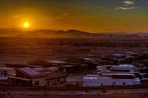
The high temperature at Harry Reid International Airport had reached 58 as of 3 p.m. Saturday.
The Sunday high is expected to be near 54. Wind gusts were expected to reach 30 mph. Clearing skies and diminished winds were forecast for Sunday night.
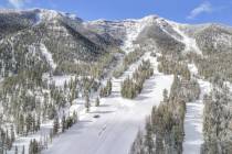
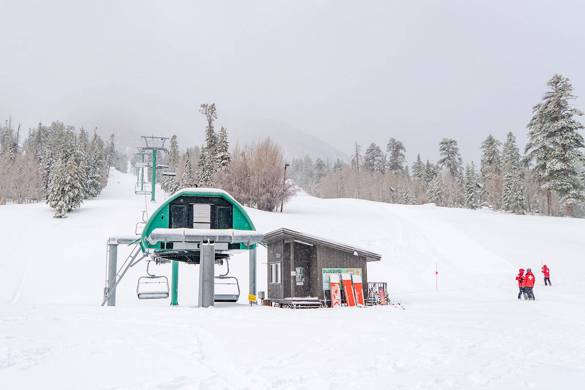
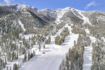
6 inches of new snow forecast
The storm heading south from the Sierras will likely add 6 inches of snow in the Spring Mountains on top of 15 inches Lee Canyon received a day ago. allowing it to open some additional terrain.
“Mammoth is already getting snow and it is working its way south and east,” Morgan said. “The Spring Mountains will likely get something like 6 inches in 6 hours overnight.”
Monday is also expected to be a wet day. Showers are expected mainly after 4 p.m. with winds rising from 11 mph in the morning to as high as 30 mph in the afternoon. The chance of precipitation is 80 percent.
Rain showers are forecast Monday into Tuesday. The low will be around 36. The chance of precipitation is 80 percent, but little or no snow accumulation is expected.
Chilly week ahead
Temperatures next week will be considerably below normal, which is around 56.
“We are likely to see highs in the low 40s later in the week,” Gorelow said.
In addition, rain is possible each day through the end of the year with clearing listed for New Year’s Day.
Heavy California snow
Parts of California are getting a White Christmas after all, with snowfall pounding mountains across the state.
Other areas of California, however, saw a wet and rainy Christmas as storms continue to drench the state, causing flash flooding and evacuations in some areas over the holiday period.
At Donner Pass in the Sierra Nevada, officials with the University of California, Berkeley’s Central Sierra Snow Laboratory wondered on Twitter if the recent snowfall could break the snowiest December record of 179 inches set in 1970.
There’s been at least 119 inches recorded so far this month , according to The Mercury News, with more expected over the next 72 hours.
Contact Marvin Clemons at mclemons@reviewjournal.com. Follow @Marv_in_Vegas on Twitter. The Associated Press contributed to this report.