Temperature tops out at 108, as predicted, before Thursday scorcher


The Las Vegas airport reached the forecast high 0f 108 Wednesday, a degree short of the record for June 5, set in 2016.
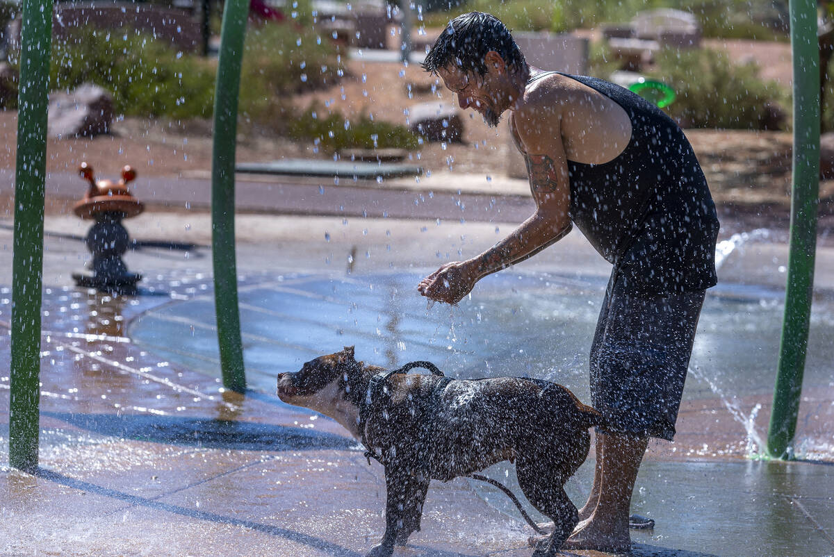
An excessive heat warning began at 10 a.m. Wednesday and runs through 9 p.m. Friday. It covers all of the region except for the Spring Mountains.
High temperature predictions for this week’s heat wave across the West were amped up a few degrees Tuesday by the National Weather Service.
As a dome of high pressure builds over the entire West, Thursday is projected to be the hottest day of the weeklong stretch. The Las Vegas high will be near 112. Furnace Creek at Death Valley National Park is expected to reach 121 degrees, with a 116 at Needles, California. Cottonwood Cove will rise to about 114, with highs of 113 in Laughlin, 110 in Boulder City and 107 in Pahrump.
Cooling stations in Clark County are open Wednesday through Friday.
The continued heat for the weekend has forced at least one event indoors.
The city of Las Vegas will host a free farmers’ market at the Doolittle Active Adult Center, 1930 N. J St. on Saturday, June 8, from 10 a.m. to 2 p.m. There will be music, games and activities for children.
The event was originally scheduled for James Gay III Park, but due to the forecast for extreme temperatures, it will be held indoors at Doolittle.
#VegasWeather - due to the excessive heat warning issued by @NWSVegas, cooling stations will be activated Wednesday through Friday.
This is a partnership between #ClarkCounty, @CityOfLasVegas and the community. A list of sites are listed below and at https://t.co/WDeFKtStbC. pic.twitter.com/qJfuB2TNXG
— Clark County Nevada (@ClarkCountyNV) June 4, 2024
Las Vegas high temperature records could fall over the next three days. The record for June 5 is 109 (set in 2016). The June 6 record is 110 (set in 2010) and the June 7 record is 109 (set in 2013).
High temperatures will only ease a degree or two for Saturday and a bit more for Sunday.
Overnight lows will be only in the low 80s through at least Saturday before cooling into the upper 70s.
Repeat of ’23, but a month earlier
June is starting to look like last July, when the first 100-degree day wasn’t reached until June 30 just before July became the hottest month in Las Vegas weather history, meteorologist Andy Gorelow said.
“We’ve had a relatively cool spring until just a few days ago, and in a few days it will be 110 or more and it will catch some people off guard,” Gorelow said. “Very similar to last year.”
"Major" HeatRisk is uncommon. Heat impacts can affect much of the populations exposed to the heat unprepared. This level of heat can be DANGEROUS to anyone sensitive to the heat or does not have access to adequate cooling & hydration. pic.twitter.com/mn3RhDYYyJ
— NWS Las Vegas (@NWSVegas) June 4, 2024
After the Thursday zenith for high temperatures, the highs will drop a few degrees each day into the weekend, but highs are projected to be 105 in Las Vegas until Tuesday.
All of Nevada will swelter in the heat. The Thursday high for Elko is projected at 96. The record for the date is 95, set in 2006.
Cool spot?
The closest spot for heat relief would be the Spring Mountains. However, the area will likely be overwhelmed, and temperatures will still push close to 90, according to the forecast.
The Thursday forecast calls for a high near 89. Winds could gust as high as 23 mph. Thursday night will be mostly clear with a Friday morning low near 64.
The Friday forecast is just two degrees lower with Saturday down to a high near 84.
Fire, lightning dangers
Heat and dryness will boost the risk of wildfires, AccuWeather meteorologists warn.
The combination of a bulge in the jet stream, high pressure building at most levels of the atmosphere and a storm offshore of California will allow heat to build without any shower or thunderstorm activity for about 50 million people in the West through at least Thursday.
Searing heat and blazing sunshine is a perfect recipe for brush fires. Even though deep soil moisture is plentiful and most trees are well-watered following two winters of ample rainfall and mountain snow, the topsoil can dry out quickly. This can lead to flash soil drought conditions with quick-burning fuels, such as grass, could be rapidly primed for ignition.
“There might be a chance for rain in the Sierras, but that’s the closest to us,” Gorelow said.
Precautions for residents, tourists
— Drink plenty of fluids, stay in an air-conditioned room, stay out of the sun and check up on relatives and neighbors.
— Do not leave young children and pets in unattended vehicles. Car interiors will reach lethal temperatures in minutes.
— Take extra precautions when outside. Wear lightweight and loose-fitting clothing. Limit strenuous activities to early morning or in the evening. Take action when you see symptoms of heat exhaustion and heat stroke.
— To reduce risk during outdoor work, OSHA recommends scheduling frequent rest breaks in shaded or air-conditioned environments.
— Anyone overcome by heat should be moved to a cool and shaded location. Heat stroke is an emergency. Call 911.
— Monitor forecasts and warnings for updates.
Contact Marvin Clemons at mclemons@reviewjournal.com.